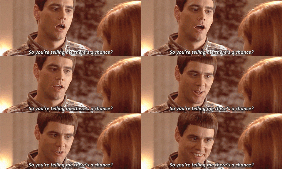
Good Friday, everyone. Snow showers put down light accumulations across eastern Kentucky overnight and we may still have some leftover flurries out there this morning. As this action moves away, we focus on a weekend system that brings some rain and snow back in here. Following that up comes the potential for snow and cold just in time for Christmas. Can this give us the elusive White Christmas? I can only say… There’s a chance.

I mean… His name IS Lloyd Christmas. ❄❄
Let’s kick this off with the leftover flakes that are exiting eastern Kentucky. Here’s your regional radar…

Highs today are generally in the 40-45 degree range west, to the middle 30s east.
Clouds will roll in on Saturday as temps hit the 40s. Those clouds are ahead of a system moving in with some light rain and light snow late Saturday evening into early Sunday.
The NAM continues to be the most flake filled model…
The Hi Res NAM also shows some flakes…
The Short Range Canadian is looking a lot like the NAM Fam…
The GFS has more rain than anything, but shows some pockets of wet snow showing up. It’s also showing the next system dropping in behind it on Monday…
The Canadian has more of a NAM look with some snow and rain this weekend, but it’s picking up on the next system diving in quickly late Monday into early Tuesday. That shows another round of some rain and snow…
The EURO has a similar idea…
That brings us to the potent looking setup just ahead of Christmas. An arctic front dives in late Wednesday into Christmas Eve Day. This will have an increasing band of precipitation behind the front, likely in the form of snow. I’ve maintained we will likely see another storm system develop along this boundary and all the models are certainly going in that direction, but differ on location and strength…
Canadian
EURO
GFS
This is as solid of a December look that we’ve had since 2010 and that was the last true White Christmas around here.
This also has true arctic air coming with it. Look at the GFS temp forecast from 7pm Christmas Eve through 7pm Christmas Day…
Wind chills for the same time period…
This may very well be followed up by additional arctic blasts and snow threats to end the year and into the start of January. This is a full blown winter pattern that’s already settled in across the eastern half of the country and it’s one that may very well lock in for the long haul.
I will have your normal updates later today. Enjoy the day and take care.
It appears that the eastern part of the state has the best chance to see some snowfall.
Yep, and on further North and East on major snowfall events.
Lots of changes may take shape between now and Christmas Day, which should be considered in anyone’s forecast.
I expect our weather here in central Kentucky next week will be more of the same, but we will have to take what we get right ?
I’m gonna go with this GFS Christmas setup. That looks like the good old’ days here in the east/southeast.
Crossing all my digits and hoping for a white Christmas for all who want o e this year.
Merry Christmas, Happy Hanukkah, and Happy Holidays to all. ❄️❄️❄️❤️❄️❄️❄️
Thanks Chris, How much snow has to be on the ground to be considered a “true White Christmas” here in Kentucky ?
I can’t recall if we had any snow on the ground Christmas Day morning here in 2010 and I was unable to fine any records on this for Taylor county.
Maybe someone can answer that for me ?
A white Christmas is defined as having 1 inch of snow on the ground Christmas Day, at least for KY.
And I don’t recall any snow on Christmas Day ’10, either, but I wouldn’t swear to it. I am just hoping for a nice snowy one this year to kind of make up for how 2020 messed with all of us.
I live in Indiana and it snowed on Christmas Eve 2010, only an inch or two, and I’m pretty sure it was a clipper system that moved southeast and eventually formed a big snow storm along the east coast from the the Carolinas to Maine.
Actually I found an article with a snowfall accumulation map from the storm: https://www.newyorkupstate.com/weather/2017/01/what_were_the_worst_25_storms_in_the_northeast_in_the_past_60_years.html
WOW ! Only an inch of snow wouldn’t even begin to the makings of a Snowman, or sledding down a hill which is part of Christmas Fun for all adults and Kids.
Maybe one of these years in the future we will get back to an El Nino phase and gets some real deal snowstorms coming from the Southwest instead of the moisture starved Northwest flow ?
Anything would beat last year, Schroeder. I cannot even remember in 58 years when I have actually sat out on my deck in a t-shirt on Christmas Day afternoon and watched neighbor kids play b-ball or on their trampolines…..that was just all kinds of wrong! 🙂
Your right on Debbie, even a flurry of snow would beat last years Christmas weather.
We must all remember that we don’t have to have snow on Christmas to feel it’s true sprit.
12Z GFS puts an absolute smackdown on southeast KY….beleive it when I see it.
https://www.pivotalweather.com/model.php?rh=2020121812&fh=loop&dpdt=&mc=&r=conus&p=sn10_acc&m=gfs