Good afternoon, everyone. We continue to track three systems between now and Christmas and each one of them have the potential to bring winter weather into our region. That’s especially true for the third of the group that arrives next Wednesday into Christmas Eve. This continues to look like a snow maker for the region.
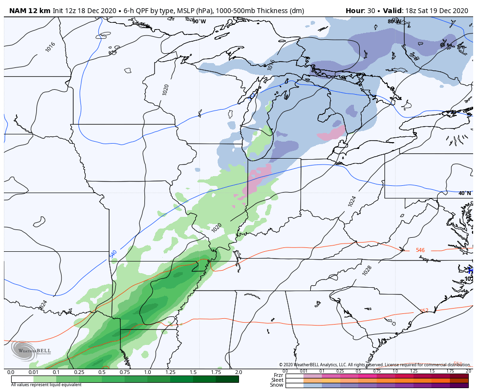
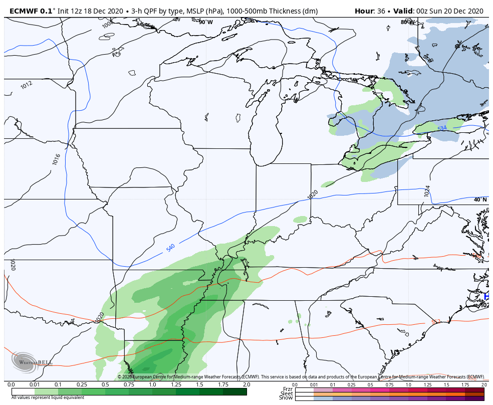
Let’s track these systems one at a time. The first item up for bids is the one rolling in late Saturday into early Sunday. Rain moves in from the west, but we do see colder air showing up across areas of central and eastern Kentucky. This could lead to a rain/snow mix or even a period of light snow.
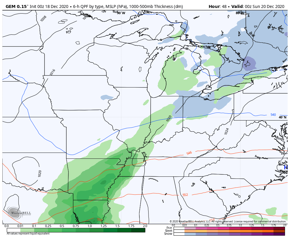
The NAM shows this, and the clipper-type system behind it, well…
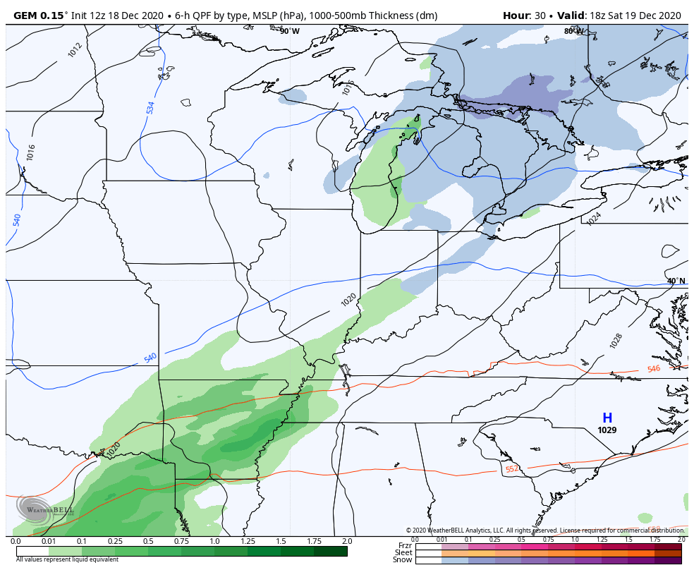
The short range Canadian Model looks similar…
So does the regular run of the Canadian…
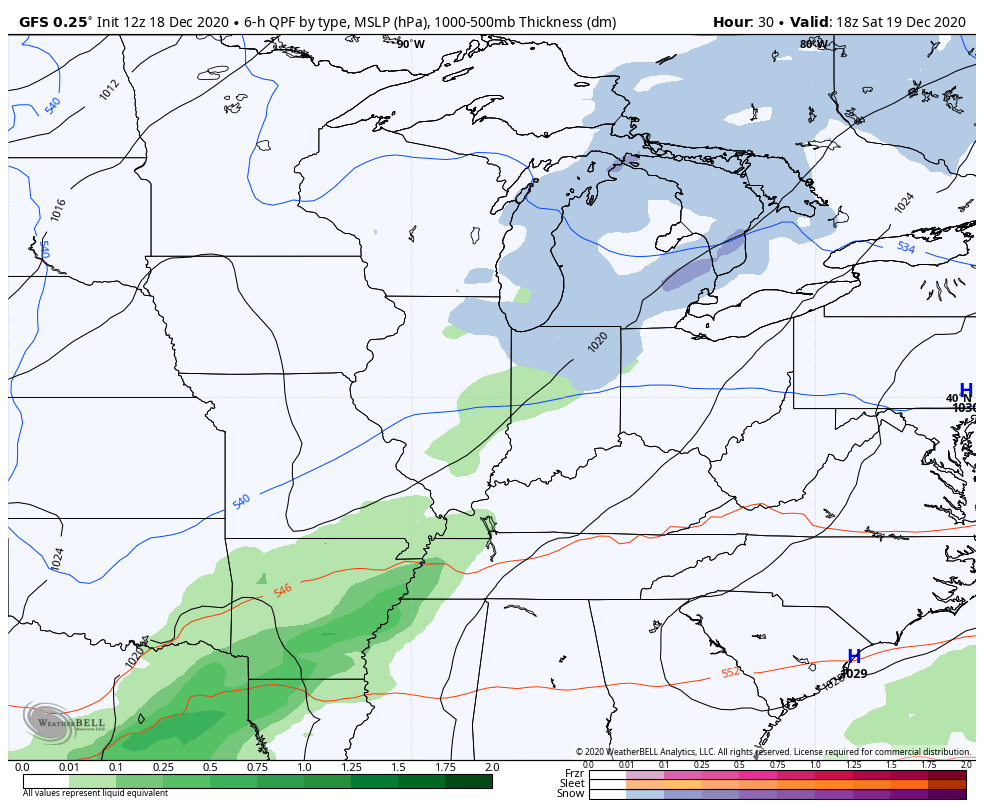
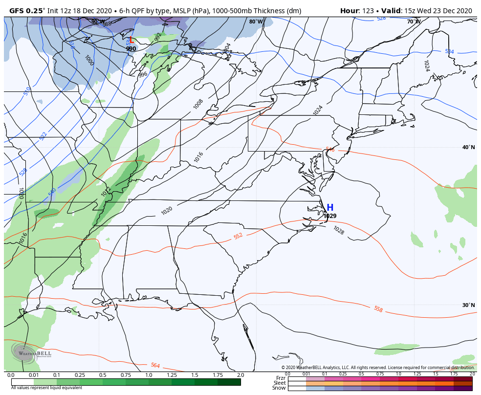
The GFS is seeing a little more flake action with each passing run…
So is the EURO…
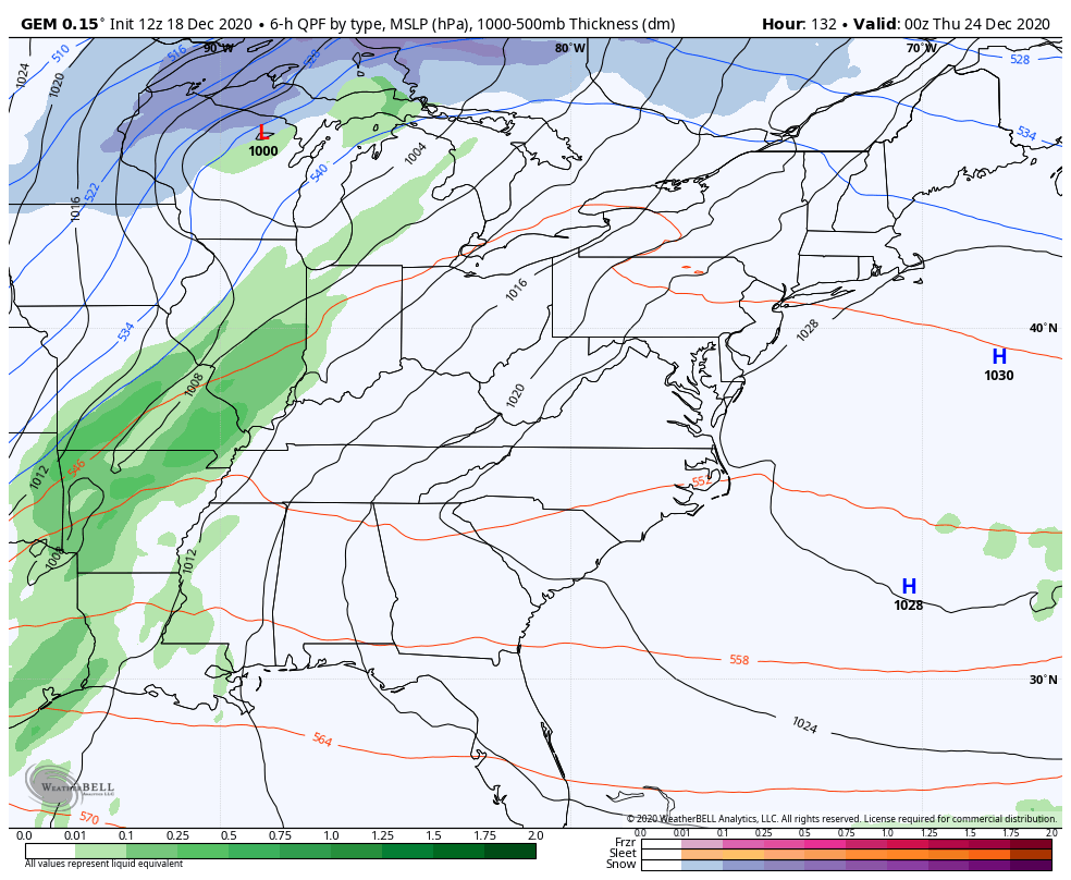
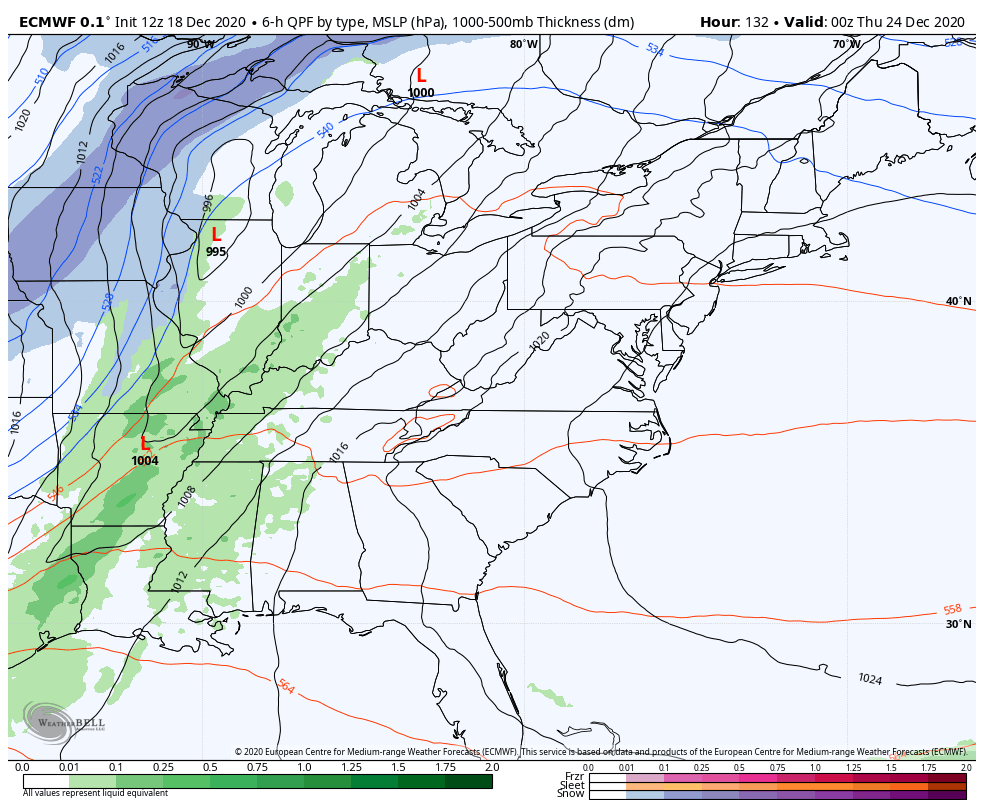
The setup leading up to Christmas continues to feature an arctic front moving in late Wednesday. The whole setup has been screaming for another low to develop along this boundary and lift to the north. Odds favor this low working right up the Appalachian Mountains or just a bit east. This would put Kentucky in the snow side of this system, but how much of the white stuff depends on where the front is as the low forms.
This isn’t a setup we’ve seen in many years around here, so you can’t compare it to recent systems. This is a true arctic front blasting in with bitterly cold temps behind it. I
The GFS is showing the low better with each run…
The Canadian is also showing our low picking up steam…
The EURO…
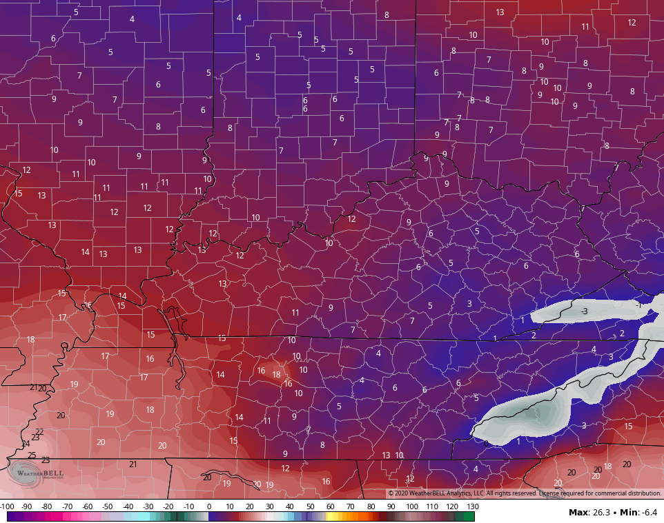
Temps behind this are absolutely frigid. Look at the lows from the GFS on Christmas morning…
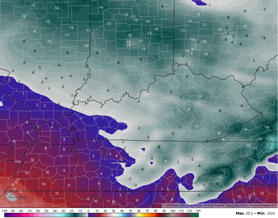
Wind chills at the same time…
The moral of the weather story with this system is, we are talking about the potential for snow showing up for Christmas. That’s something that doesn’t happen often and, whether we get a little or a more than a little, it’s pretty cool to have an honest to goodness chance at a White Christmas less than a week before the big day. ❄🎅💪
I will have another update later this evening. Until then, have a good one and take care.

If I lived east of I-75 I would love my chances.
Just looked at the GFS snow accumulation 10 day and had up to 6-9 inches in southeast Kentucky.
When a low rides a front. I rather be east if you want a decent snowfall.
The is easily the best chance for measurable Warren County snow in 4 or 5 years.
Don’t know about snow but man she’s looking cold for Christmas.
Anytime we have cold air and moisture in place, and a low hugging the Apps…it’s at least got some “promise” to us, at least for us snow hounds!:)