Good evening, folks. I got a late start on this update, but I still wanted to drop by for the latest look at the systems of the next few days and the potential snow maker just before Christmas.
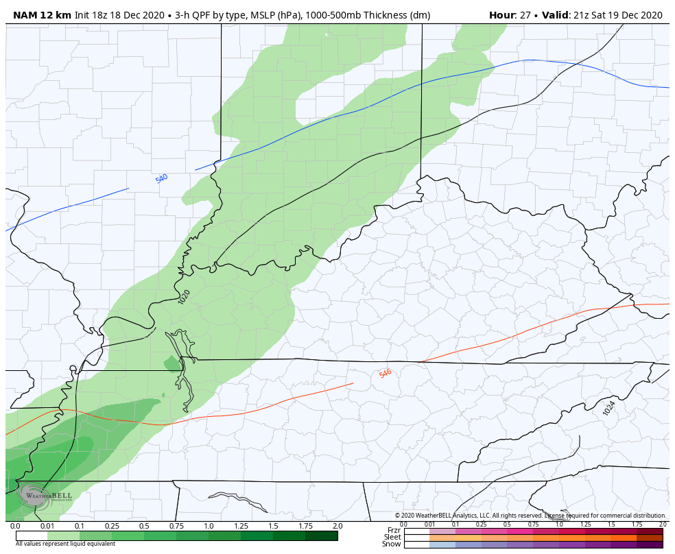
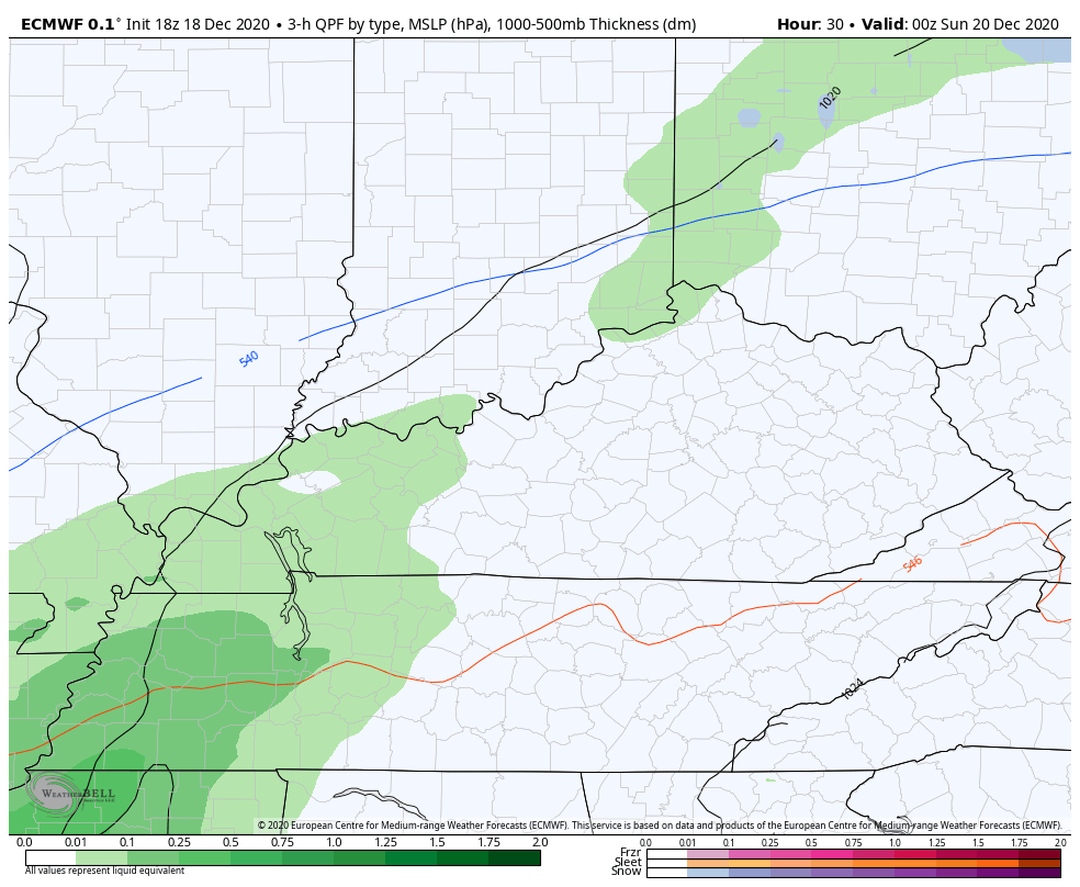
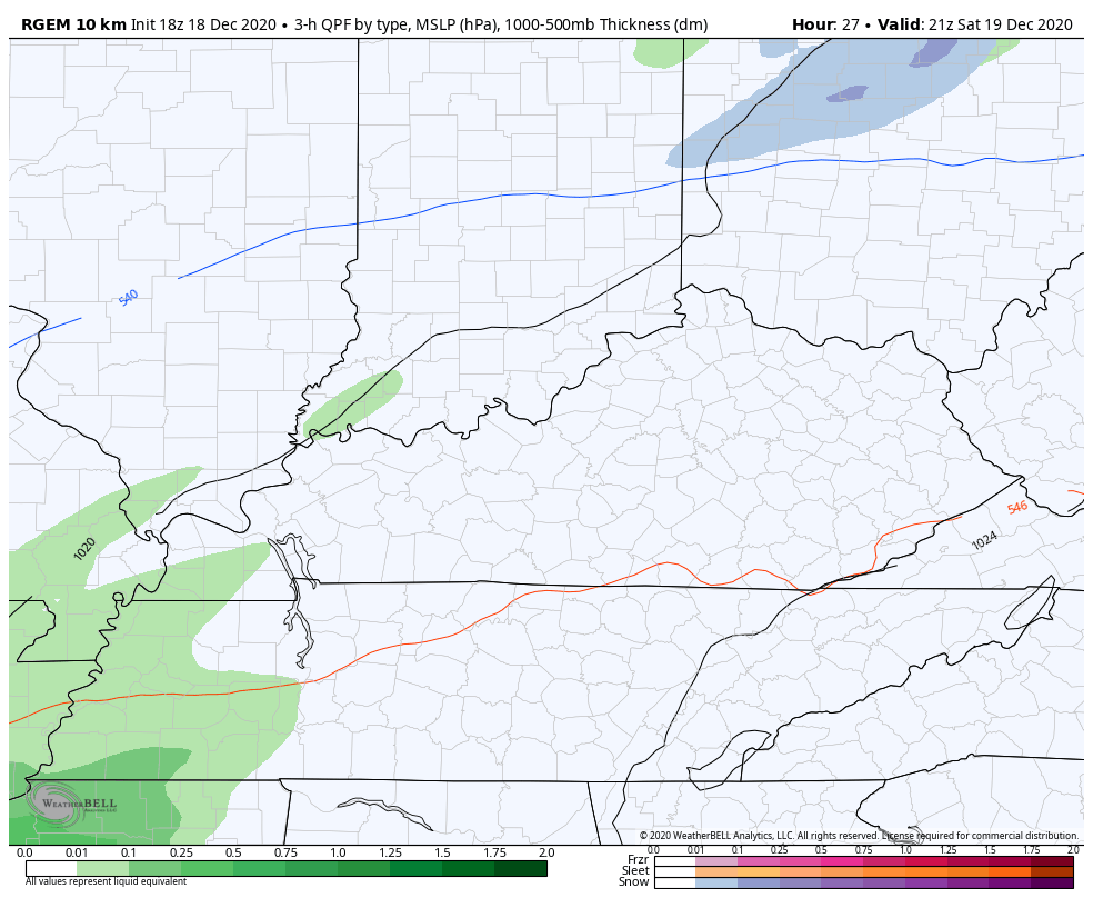
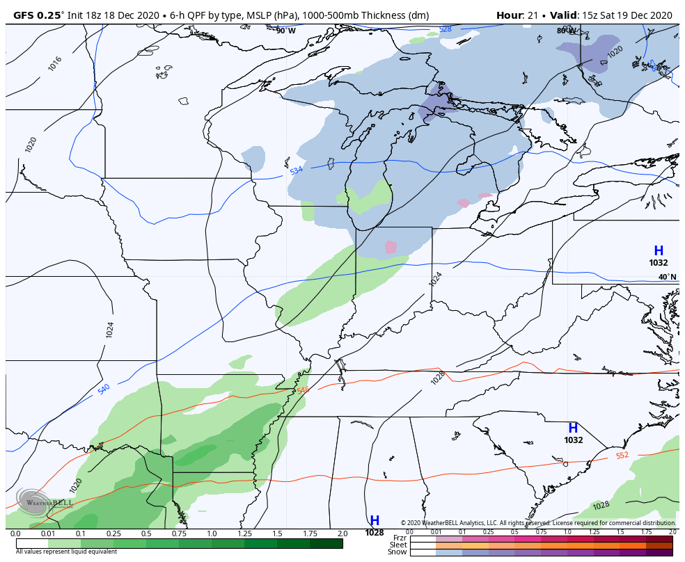
The models are essentially the same with everything ahead of us. Light rain moves from west to east Saturday evening and may have a little bit of snow with it as moves across the eastern half of the state. That will be followed up by a clipper that may also bring a touch of rain and flakes late Monday into Tuesday morning…
NAM
EURO
CANADIAN
GFS
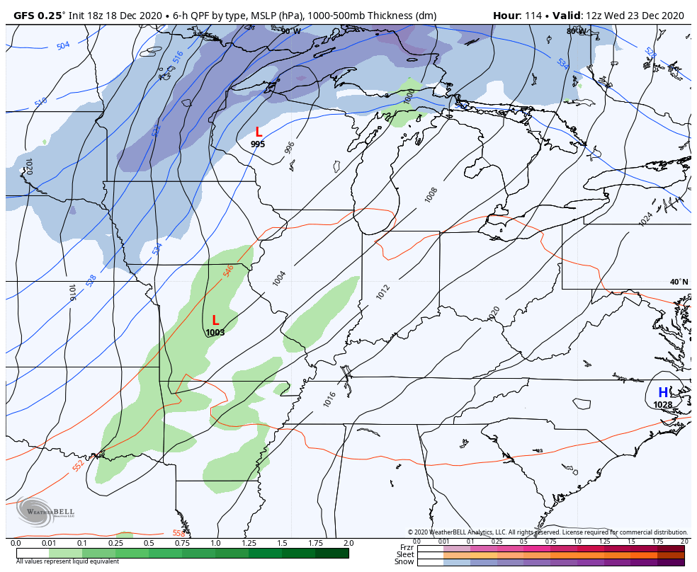
The GFS is the only late afternoon model run that goes out far enough to see the arctic front and possible snow just before Christmas. It’s essentially unchanged from its earlier run in showing a wave of low pressure developing along it…
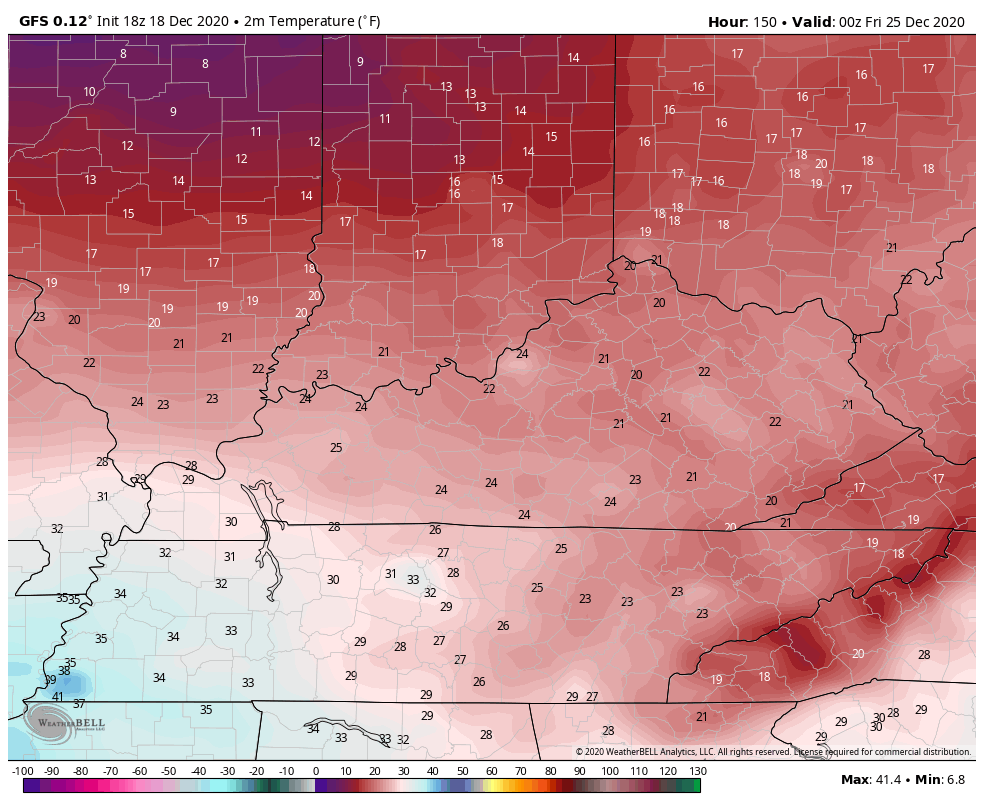
The temps continue to show up on the bitterly cold side. Here are the numbers from 7pm Christmas Eve through 7am December 26th…
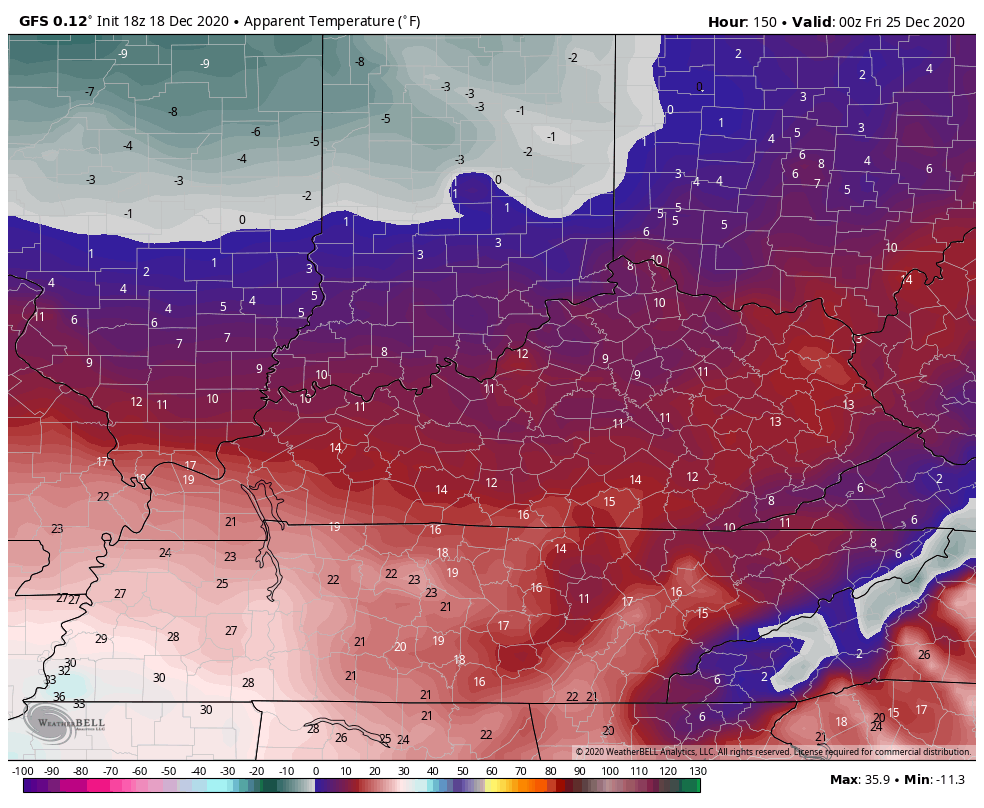
Wind chills…
One thing to keep in mind is that we are entering the time period where we usually see the models jump around quite a bit. This seems to happen in that 4-6 day window before the trend back to their original solutions as we get closer.
I will see you guys later tonight. Enjoy the evening and take care.

Looking interesting! However, the biggest news is I FINALLY got approved to post! YES!.
Seems the average progressions of the models indicates we are the transitional fence like the last system and NE of us could get smacked again next week. Yikes.