Good Tuesday, folks. We have a little bit of spring fever breaking out across the Commonwealth today into Wednesday. Given where we’ve been so far this month, it doesn’t take much to get our spring thoughts fired up and ready to go. As we look into the closing days of February into early March, the pattern continues to look milder and wetter.
There isn’t a lot more for me to say in terms of the weather today and tomorrow. Skies are partly sunny with readings into the 50s today and flirting with 60 on Wednesday. Winds are gusty from the southwest ahead of a Wednesday night front, but this boundary doesn’t have much cold air to work with. It may actually kick off a shower or two from the northwest before Wednesday is finished.
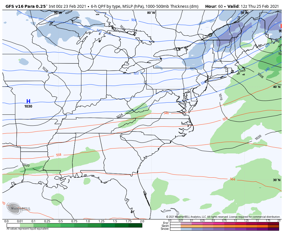
After a step back in temps for Thursday, the numbers once again shoot up for the weekend. But, this comes with a price as some rain moves in, kicking off a very active setup into next week…
Another indicator of this wetter than normal setup comes from the EURO Ensembles. Here’s the average rainfall departure from normal from the 51 members…

The new EURO Weeklies go all the way into the first week of April and also show above normal rainfall…

This setup has the makings of a stormy one and that could mean an early start to the spring severe weather season here in our part of the world.
Have a great Tuesday and take care.

If it means warmth, I approve this message!
So do I #TeamSpring
Wetter? Jeepers, it’s been plenty wet and with the frozen type as well….. Uh oh, lots of moisture early could mean CB’s “favorite” topic popping up later in the summer. Hint- it rhymes with grout.
Two great days to get outside and do what you like to do.