Good afternoon, everyone. It’s an absolutely gorgeous spring day in the bluegrass state, but the focus of the forecast is on the increasing potential for rounds of storms to impact the region later this week.
Scattered storms will be around Tuesday and Wednesday, but the main storm action rolls in here Thursday and Friday. This comes from a powerhouse low pressure working through the Mississippi Valley and into the northern Ohio Valley. The track of this low will be the determining factor on how much of a severe threat we get here in Kentucky. As usual, the models vary on how this works out…
The Canadian has a track that would be conducive for severe weather…
This is something the EURO has been showing for days and the new run continues to show…
The GFS continues to play into the bias of the model in being too flat and weak with lows…
This new version of the GFS that’s taken over is even worse than the original model in how it underplays the intensity of these lows and tracks them too far south and east.
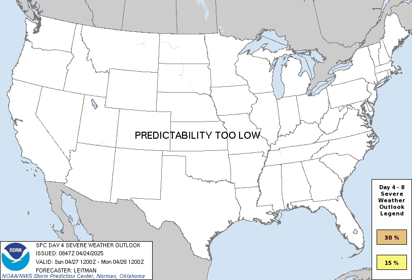
It appears the SPC is following the GFS and nothing else with their Day 4 severe threat…

The folks at the SPC provide a valuable service, but they really need to expand their expertise beyond Tornado Alley or Dixie Alley.
Enjoy the rest of the day and take care.
Government Bureaucracy for ya