Good Sunday, folks. Today is better than Saturday, but it’s going to be a slow-starter. Once we get into the start of Kentucky Derby week, our overall pattern continues to turn much, much warmer. A serious surge of spring is on the way, but a late week system is going to try and slow down, potentially impacting part of Derby Weekend.
As always, let’s kick things off with the precious present. Clouds and fog will linger across central and eastern Kentucky and there’s even the risk for a few morning showers across the far east…

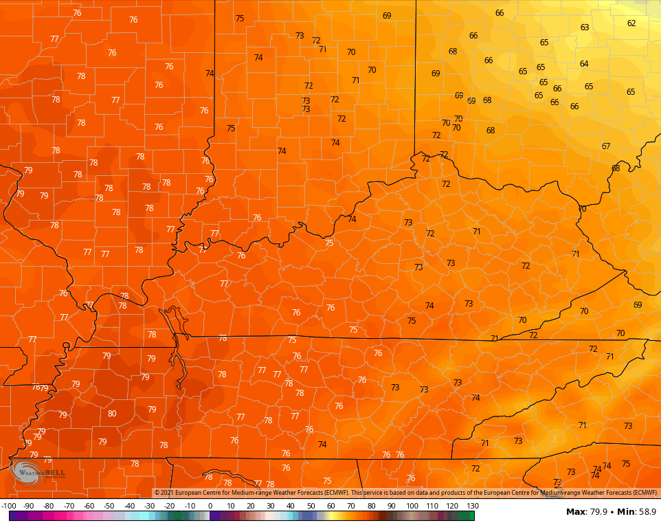
Temps today range from near 6o in the far east to around 70 in the west.
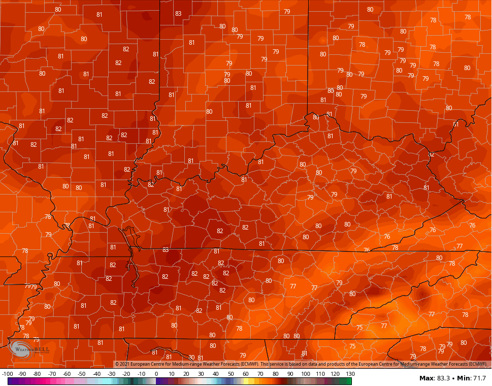
Monday looks magnificent with highs deep into the 70s…
Tuesday and Wednesday find a strong southwest wind kicking in, boosting temps toward 80 or into the low 80s…
Our storm system then begins to slowly press in from the west and southwest. This will bring showers and storms into the west by Wednesday night and this will then overspread the rest of the state on Thursday. A few strong storms will be possible in this type of setup. How fast this system moves through is still a bit of a mystery.
The EURO splits our system and leaves a lot of energy back to the southwest of us. That leads to a nice Oaks Day and decent Derby Day on the model before the rain returns…
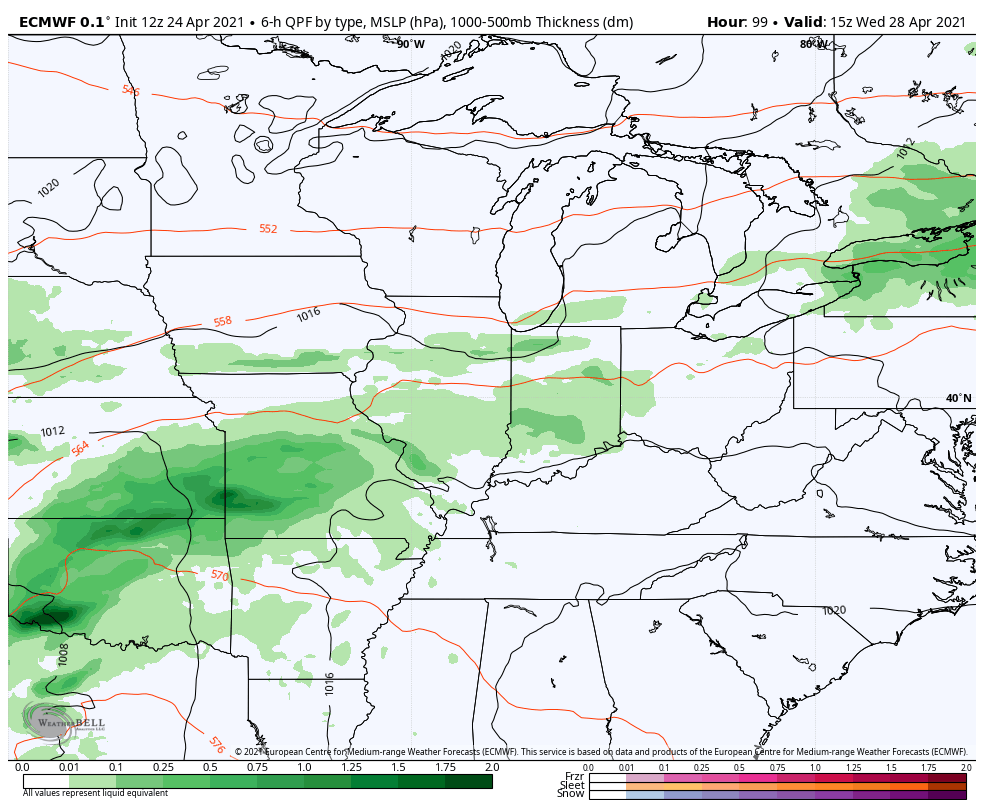
The GFS bundles all the energy with the first system and is slower with the exit, leaving behind a not so good Oaks Day with some improvement on Derby Day…

Enjoy your Sunday and take care.
