Good Tuesday, everyone. It’s a very warm day across the Commonwealth and will have many folks feeling that early summer vibe. This warmer pattern is about to be joined by some thunderstorm action in what has been another tame spring thunderstorms season around here.
Temps today with a mix of sun and clouds will generally range from 80-85 for most of the state, giving us the warmest day of the year, so far. Winds are going to be cranking from the southwest and gusts may reach 30-35mph at times, especially in the central and western areas of the state.
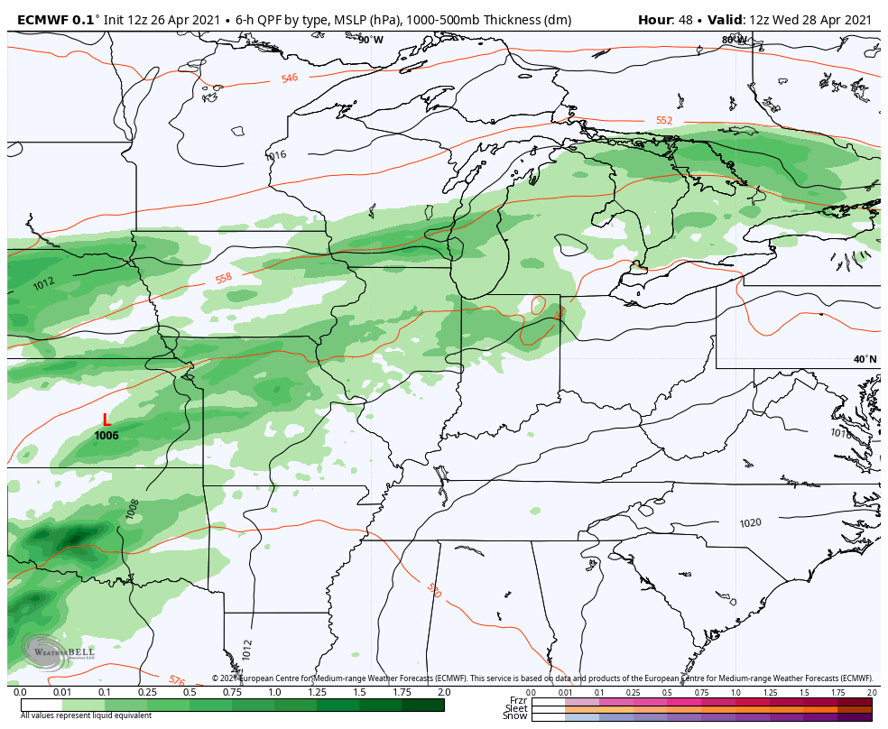
Wednesday is another windy and warm day as clouds thicken ahead of a storm system slowly rolling our way. This will bring showers and storms into the western half of the state at some point from late afternoon into the evening. The Storm Prediction Center has this area in a low-end severe weather risk…

The setup is there for strong storms to continue into Wednesday night and we have to be on guard for a corridor of very heavy rains setting up. The best chance of that may be across the west and north. The good news is that we should be rid of the rain very early on Oaks Day…
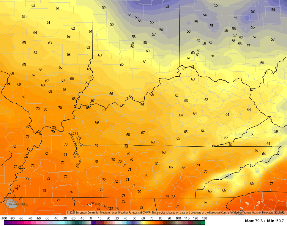
This is some fairly chilly air coming in behind this front and it looks chillier as we get closer. Here are the highs for Oaks Day…
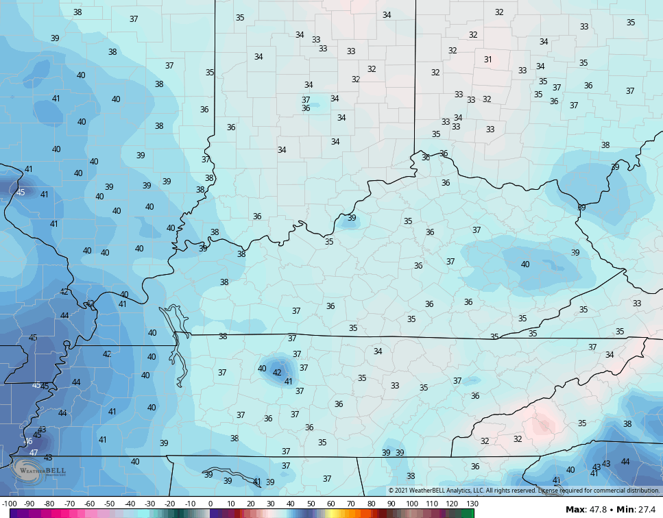
Derby Morning may start on a frosty note…
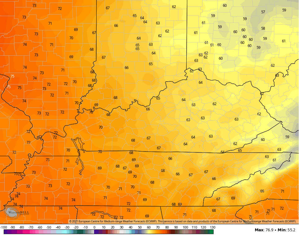
Derby Day highs are below normal for many…
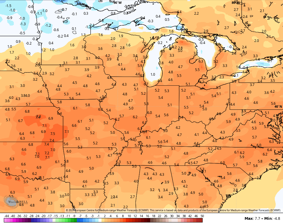
Temps will rebound back into the 70s for Sunday and may press 80 again by Monday and Tuesday. That’s ahead of our next storm threat in the first half of next week. This also kicks off a very warm period with the EURO Ensembles showing much above normal temps from May 3-10…
Have a terrific Tuesday and take care.
