Good Saturday, folks. Our weekend is off and running with cooler than normal temps and a few showers slowly spreading across the region. This is ahead of a storm system set to bring the potential for strong storms in here later Sunday into Sunday evening.
Our temps today remain solidly below normal and it stinks. Readings from the upper 50s to middle 60s will be common as clouds and a few showers increase from the west and southwest. Much of the area remains dry until later in the day, so you can get out and enjoy some of this cool Saturday.
This shower action is ahead of warmer air fighting in from the southwest. This will cause our temps to briefly surge into the 70s for Mother’s Day as scattered showers and storms rumble through from the southwest. A line of storms may develop and push across the state late in the day. The Storm Prediction Center has placed the area in a low-end risk for severe storms…

With or without true severe storms, winds are likely to be a major player. Gusts of 40mph or greater will be possible from late tonight through Sunday evening. Some of the models are suggesting 50mph or greater gusts…
GFS

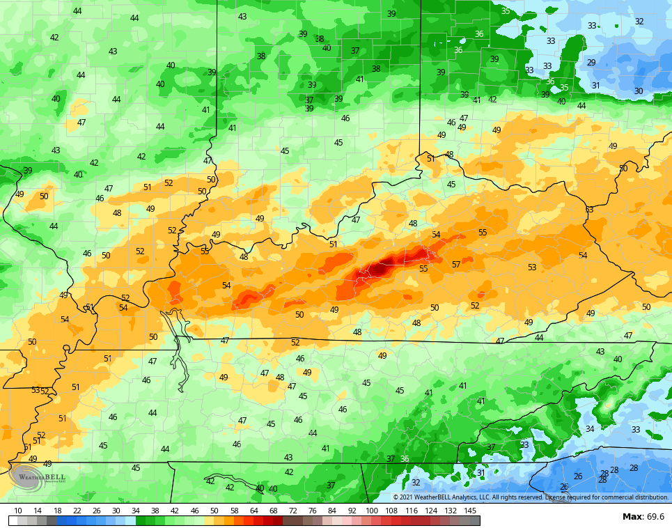
The Hi Res NAM takes it a little higher…
Much cooler air then blows in behind this for Monday and Tuesday as highs are back into the upper 50s to middle 60s range. Morning’s with a clear sky will find temps dropping into the upper 30s across central and eastern Kentucky.
Yet another ugly weather maker looks to push through here by the middle and end of the week…

The temp trend for the next 7 days combined continues to run WELL below normal…

This cold May is absolutely absurd!!
I leave you with your radars to track the increase in showers from the west and southwest…

Enjoy your day and take care.

Don’t worry the heat will be here before you know it.
A LOT worse a year ago. What is happening to our seasons ? https://kyweathercenter.com/?p=41975
The past few years (for my house (aside from a terrible July storm a few years ago) has been mostly heavy/moderate rain with a total lack of actual thunderstorms…I see storms on radar scattered around, but at my house, it’s been a LONG time……It’s RARE to even hear thunder. Very weird especially when we can be in a stormy pattern, and not get an actual thunderstorm.
Here in the Chicago area, we have had only one day this year with thunderstorms in the area, which was last Monday. There were only a few rumbles of thunder with brief heavy rain as a narrow line moved through. No severe weather watches have been issued so far this year for the Chicago area, and only one severe thunderstorm warning (during the evening hours of April 29th) for a brief, isolated wind gust of 58 MPH at one location, and there wasn’t even any thunder reported with this. The warning was cancelled shortly after it was issued.
It’s hard to believe that there hasn’t been any organized severe weather yet here, and we’re so deep into Spring. We are in a moderate drought also, according to the Drought Monitor.