Good Saturday, everyone. Temps continue to run on the steamy side of the thermometer for this time of year as our summer preview continues full steam ahead into early next week. That’s when we slowly start to change it up a bit with some showers and storms trying to get into the mix.
Highs out there today and Sunday will be deep into the 80s. There’s the chance for the local “hot spot” thermometers to reach 90 for the first time this year. Skies are dry with a little increase in the humidity factor.
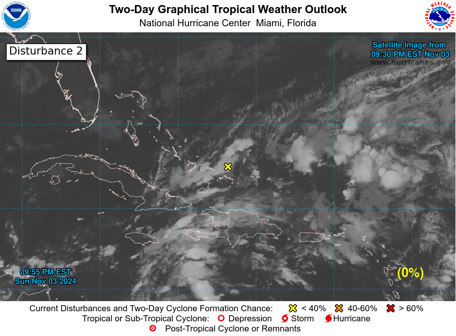
You know it’s a summer pattern when we are also watching the tropics. The system down in the western Gulf of Mexico is running out of time to fully develop, but it’s still churning away. The NHC is monitoring…

Back here in the bluegrass state, temps continue to run steamy with mid and upper 80s Sunday into Monday. Clouds are the wild card as they could keep temps down just a bit.
We are already seeing signs of a pattern change taking shape later next week into Memorial Day Weekend. The increasing threat some storms will return and may continue to increase right on into the opening days of June…
This has the potential to cause our temps to go right back into a cooler than normal setup. Here’s the 10 day temperature departure from the GFS for the period of May 26-June 5…
The cooler pattern is also backed up by the EURO Ensembles which show a trough digging in to end May and begin June…
So does the Control run…
Make it a great Saturday and take care.
Thanks Chris. Really enjoying the Summertime weather ! Our highest temperature over the last few days has been in the low to mid eighties.
Tropics could be interesting early in the season ?
Good to see some rain back into the forecast.
My yard & plants need the rain.
I’ll take rain, but not cooler temps.