Good Thursday, everyone. We have a powerful cold front moving through the region today and this is bringing a big time pattern change to the region. Two more systems follow this up for the weekend and will bring a touch of wintertime to the region. This includes a couple chances for some flakes to show up.
Let’s begin with what’s going on out there today and then roll forward. First things first… Thank you to all the Veterans out there!
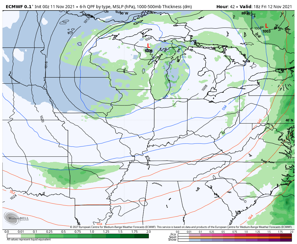
Winds are cranking along and ahead of our front and may reach 40mph at times. A line of showers and thunderstorms will then sweep eastward across the state from west to east through the evening. This isn’t a true severe weather setup, but we will need to watch for pockets of higher winds along our front.
Here are your radars to follow along…

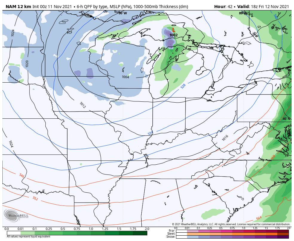
Friday is a weird temperature day as the next system spins in late afternoon into Friday night. Temps across the south and east may hit 60 while the west and north stay upper 40s. Winds are very gusty again as this disturbance moves through with some rain and snow showers into early Saturday. The best chance for this is across central and eastern Kentucky and the models are showing this.
The future radar from the Hi Res NAM is picking up on some decent snow showers. Here’s the animation that goes from 1pm Friday through 7am Saturday…
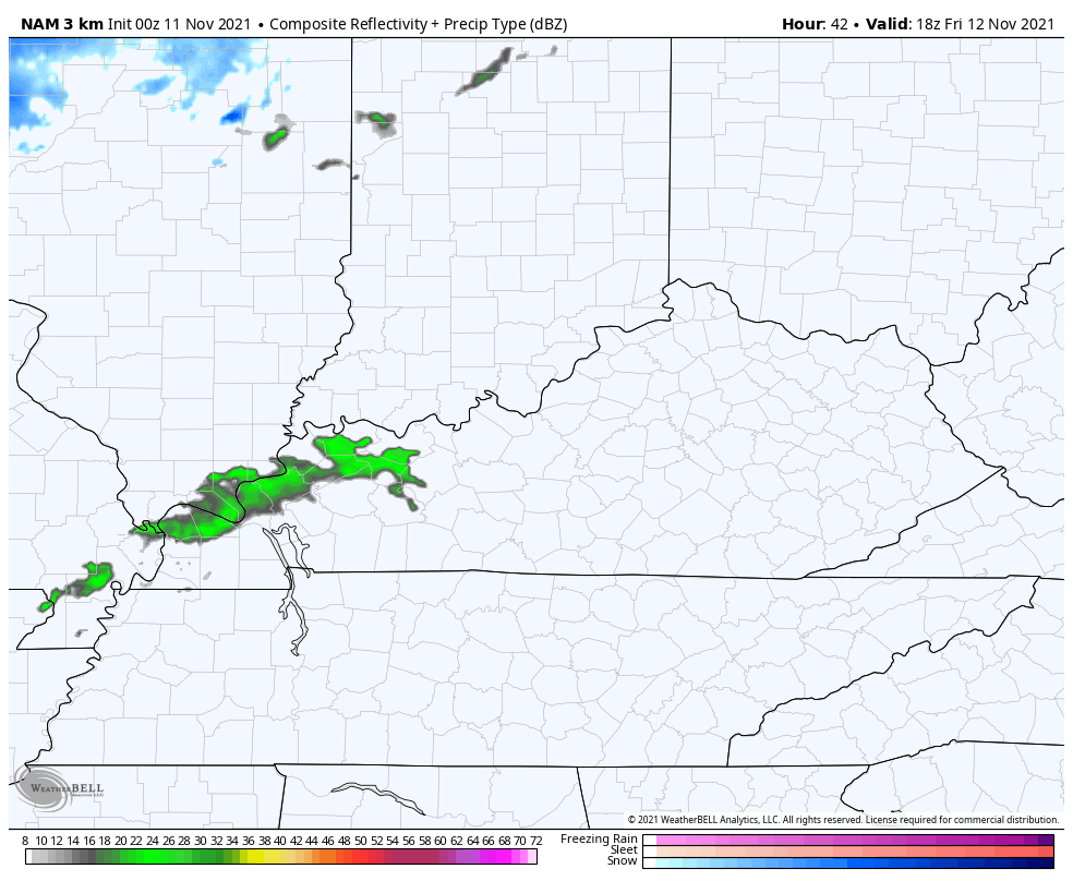
That could actually amount to a little rooftop duster for a few folks.
The NAM is also showing some of these rain and snow showers…
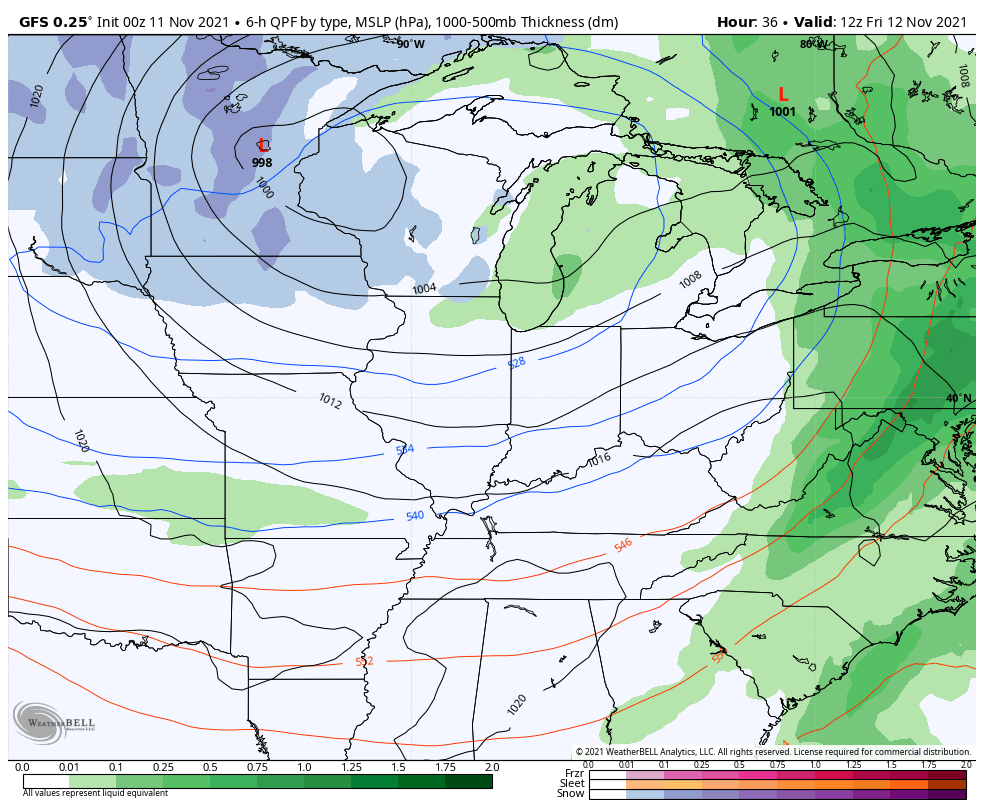
The GFS only shows a few flakes across the southeast…
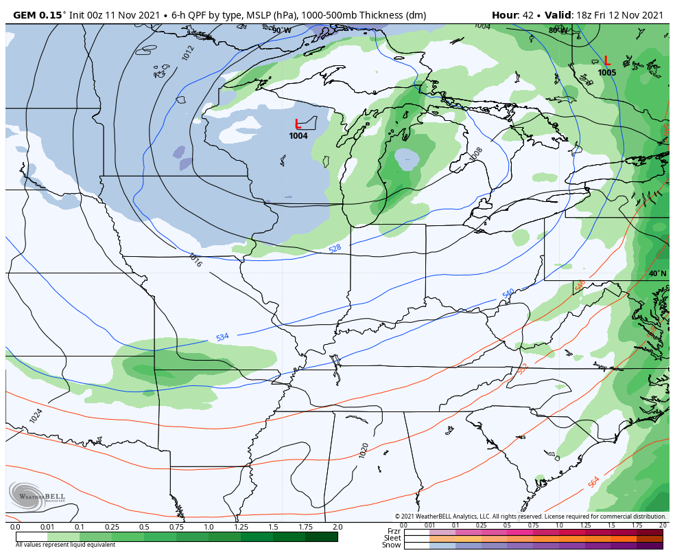
The Canadian has a couple of rain and snow showers for the north and east…
The EURO has a bit of rain and snow shower action…
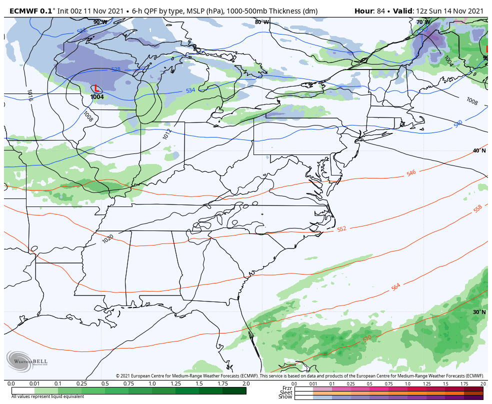
The second system is now all over the place on the models and there’s very little agreement right now. The EURO is the strongest with this system and brings a swath of some light rain and light snow in here Sunday and Sunday night. It then shows a little wraparound rain and snow showers behind it for Monday…
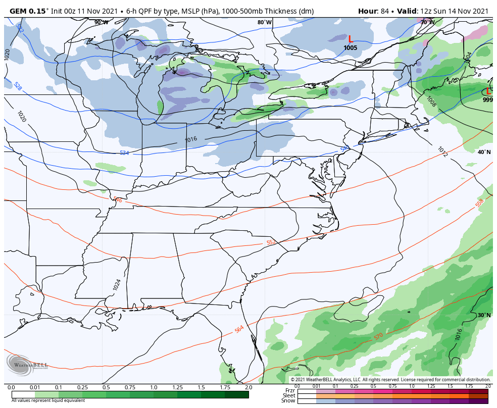
The Canadian is pretty wimpy with it and only spits out a little rain and snow shower action…
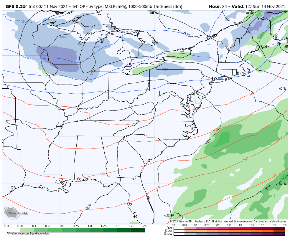
The GFS gives a totally different solution with each run…
I feel like a broken record, but we have two chances at some flakes to fly, but I wouldn’t be expecting anything more than that.
Once that moves away, temps moderate for a few days before the next system moves in late next week. You can see this trough trying to quickly get reestablished on the EURO…
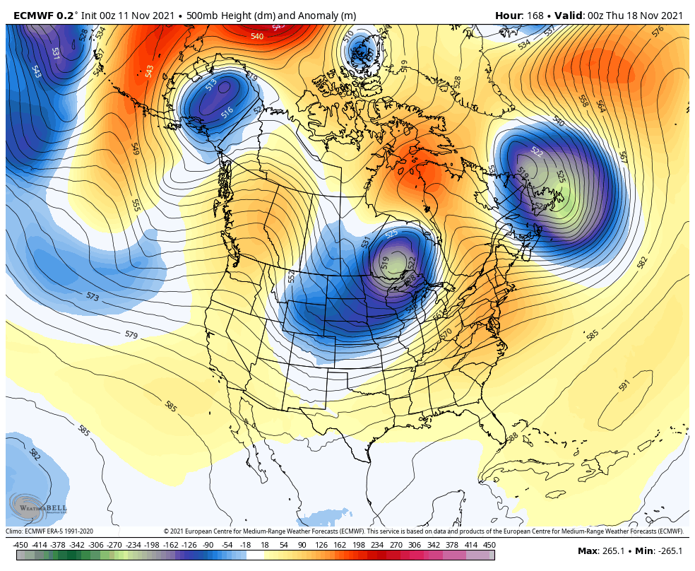
This is something the EURO Ensembles keep around into Thanksgiving week…
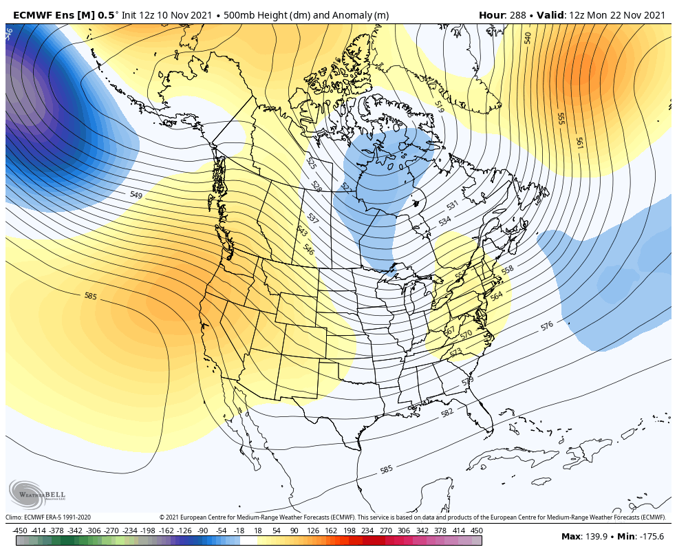
Cold turkey, anyone? 🦃🥶
I will have updates later today, so check back. Make it a great day and take care.

Even know we had some timely moisture for the crops to mature this past summer, but were not getting any significate rain as far 1-2 inches to refill these ponds in my neck of woods. I’ve notice the level of water is way down and it’s been years since i seen it this low. These fronts just blow by and not producing an all day raining events here this year.
What??? We have above normal precip almost every year here it seems. We’re like 7 or 8 inches above normal for the year…
The last two days have been so nice. Windows open/ window fan on blowing air through the house. Yesterday just before dark, it was still 72 in my house….As soon as the sun set, I could feel the temp drop slightly and cool air coming through felt so good…….Low and behold I start smelling smoke from a fireplace and had to close everything up.
Marklex, i live here far part of western, ky by the Ohio river. We haven’t received as much rain as the rest of state has received. It seems the central and east part has there share of it than what we got. I got a ditch right beside the warehouse that i work at and it’s usually full of water during the summer months but not this year it’s been bone dry and still is.
Winterlover your not alone noticing the lakes and rivers are low compared to normal. It’s not just a western KY thing
Thanks Andy glad you notices it.
Here’s a log that shows the monthly rain totals for counties in the state of Kentucky.
http://l.kymesonet.org/yearly_precip.php
Thanks Schroder as you see Union.co and my neighbor county Henderson. co has the lowest total rainfall of the entire state.