Good evening, folks. I really don’t have a whole lot to add to the pattern ahead of us, but I wanted to drop by for an update on the potential to bookend the weekend with a few flakes with two more systems on the way.
The short range models continue to advertise a few showers Friday afternoon and evening ending with some snow showers or flurries trying to get into the mix. For areas getting in on the flakes, nothing will stick, so let’s not go crazy. 😁
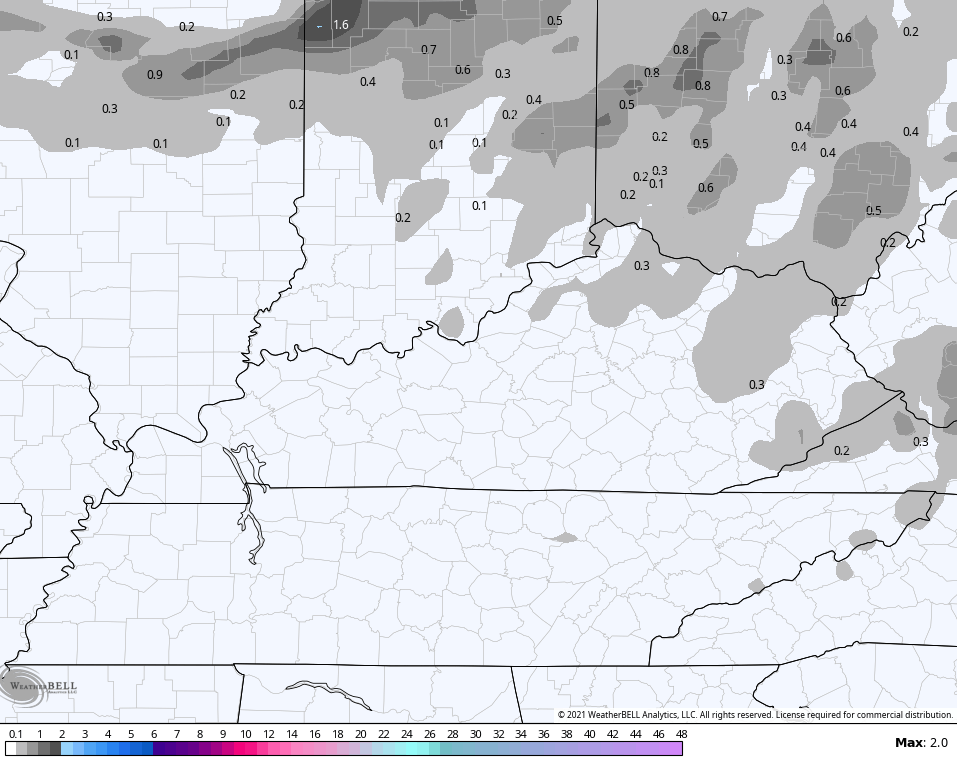
The NAM is showing where it expects some flakes to fly…
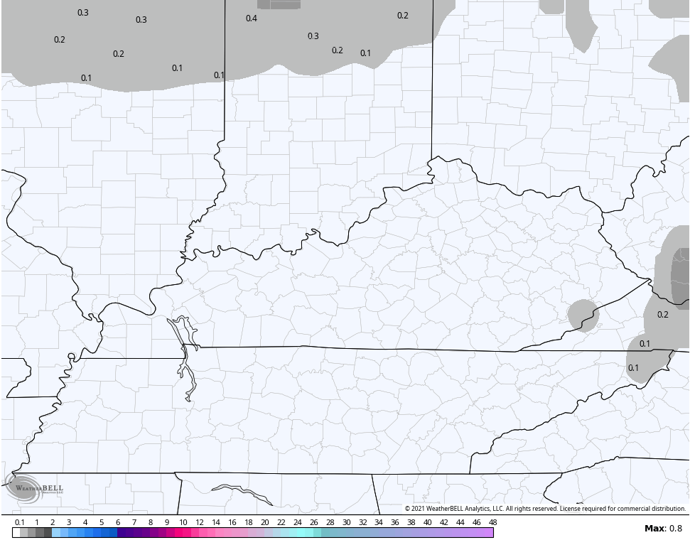
Here’s where the Hi Res NAM sees the flakes flying…

The GFS says “I see nothing”…
The next system rolling in later Sunday and early Monday continues to bounce around on the models. The latest NAM shows a period of light rain and light snow moving across the state Sunday with wraparound snow showers and flurries Sunday night. This animation only goes through 1am Monday…
The Short Range Canadian has a similar look through the same time period…
The GFS is once again the strongest and farthest north with the low and keeps all the moisture to our north…

I will update the weekend flake potential and take a look at a cold turkey run of the Euro Ensembles with my late night update. I leave you with your radars to track the band of rain out of Kentucky…

Enjoy the rest of the evening and take care.
