Good Friday to one and all. It’s a frigid start to the Christmas shopping season as our much colder than normal Thanksgiving week gets set to come to a close. The pattern from here turns into more of an up and down temp look as we close the month with an interesting look showing up for early December.
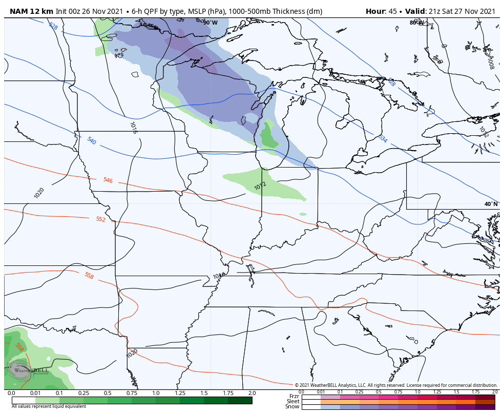
Our day starts with clouds across central and eastern Kentucky and some of those clouds will spit out some flurries and snow showers. The greatest chance is across the east and I can’t even rule out a deck duster or two on that northwest wind. Here are your radars to follow the Friday festive flakes…

Temps out there today are mainly in the 30s, but areas of the east may hang on to some low clouds long enough to make getting much above 32 degrees a struggle. Winds will make it feel like the 20s all day long.
Saturday sees temps spiking into the 40s with a 50 in the far south and west. Winds gust up ahead of the next system rolling into the Ohio Valley, but the bulk of the rain and snow with this appears to stay just to the north…
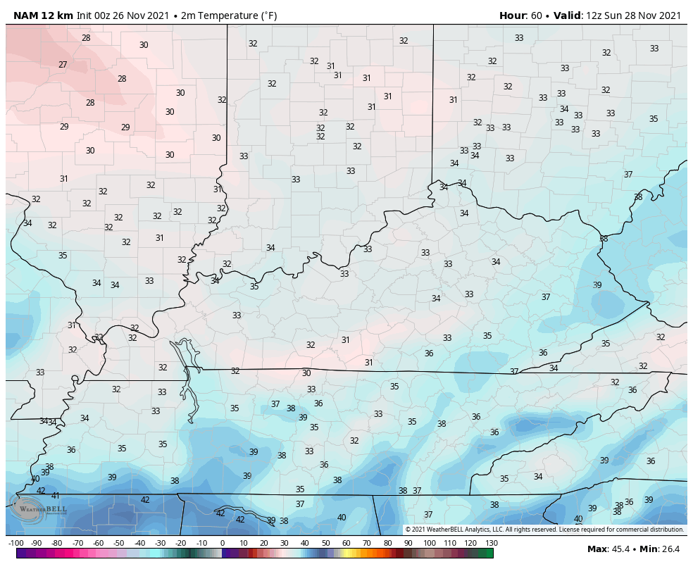
Temps come way back down on Sunday with another round of 30s for highs in the central and east…
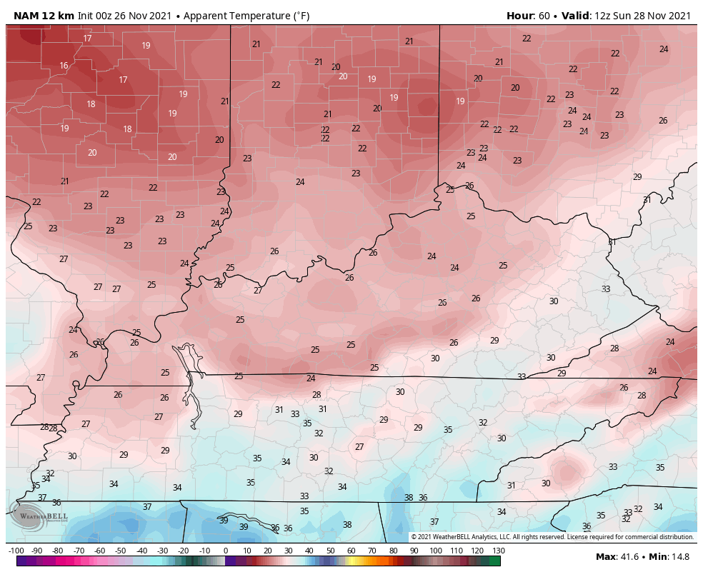
Gusty winds will make Sunday feel like the 20s…
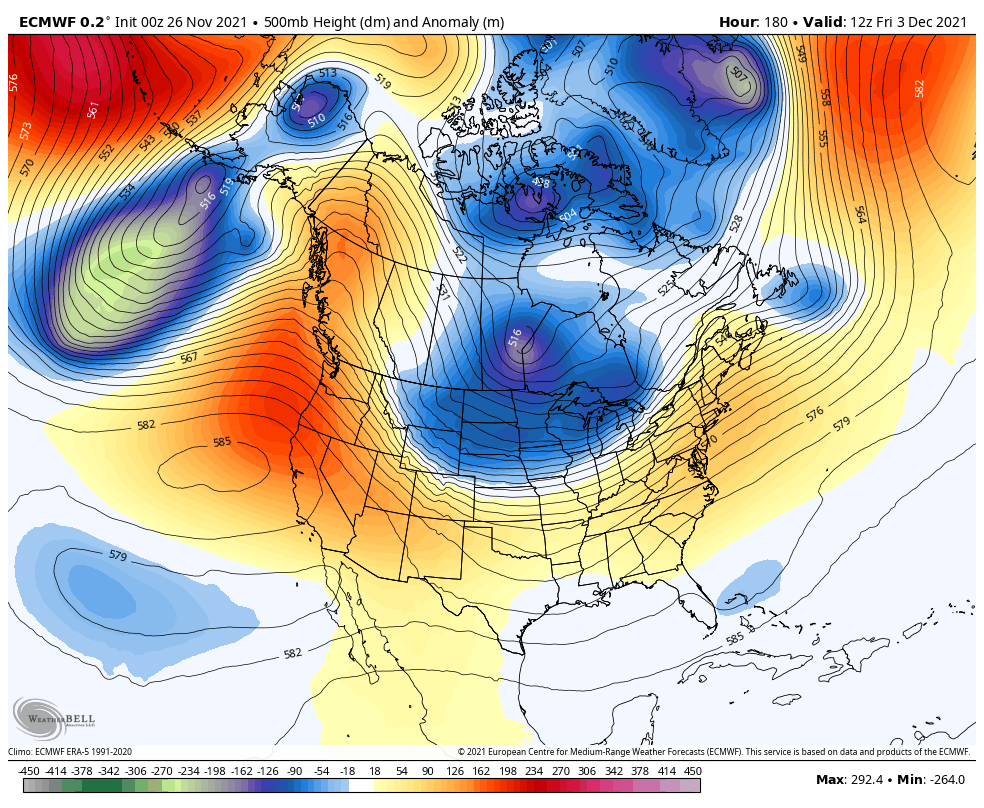
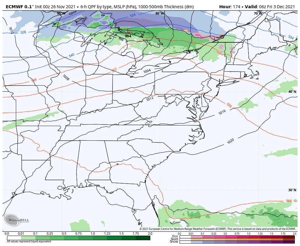
Temps then bounce around next week, but I continue to see increasing signals for another major dip in the jet stream late next week into the first weekend of December. We find the GFS and EURO in very good agreement from a week out…
EURO
GFS
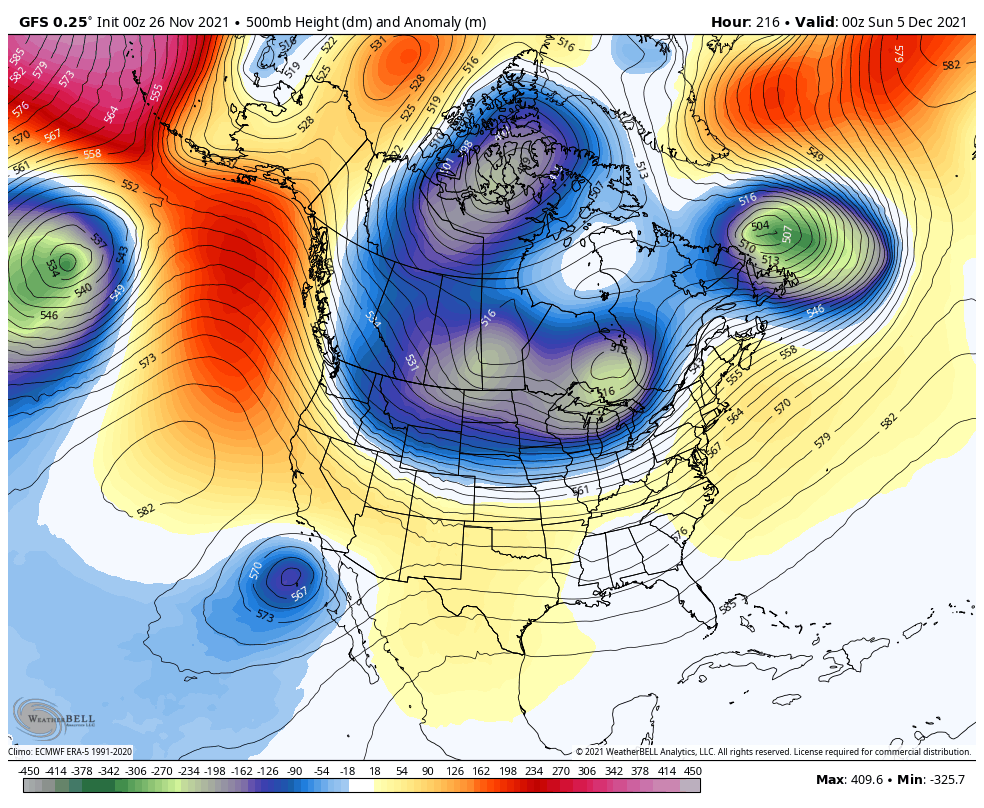
Both models bring arctic air into the country with that trough and continue to indicate a sizeable winter storm across the eastern half of the country…
EURO
GFS
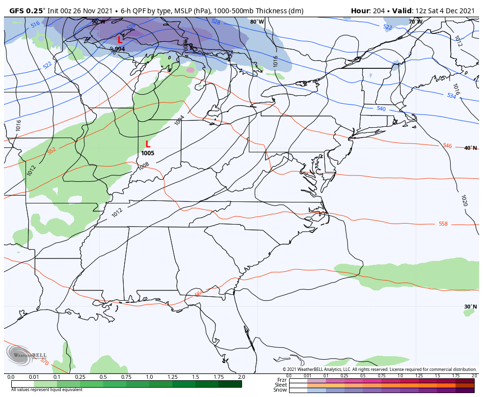
Again, that’s still out there in the fantasyland time period, but the fact both models have a very similar look is interesting.
Updates come your way later today. Make it a good one and take care.
