Good afternoon, folks. It’s a colder than normal, but a very nice looking day in progress across the bluegrass state. The pattern stays colder than normal through Thursday before the numbers come up a bit by the time we head into Christmas weekend. That’s when a cold front arrives and is the first shot from a much colder pattern taking shape thereafter.
Temps today and Tuesday are mainly in the 40s with partly sunny skies. Some clouds increase late Tuesday as a cold front drops in from the northwest Tuesday night. This still looks like it can bring a rain or snow shower to eastern Kentucky.
The Hi Res NAM likes the flakes in the east…

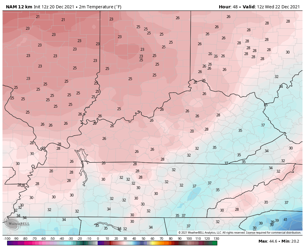
Temps are seasonably cold behind this with highs on Wednesday staying in the 30s. Here’s the temp animation from 7am Wednesday through 7am Thursday…
The wind chills during this same time…

The temps do come up later Thursday into Christmas Eve ahead of a cold front arriving along side of Santa Friday night into Christmas morning. This brings some big winds and showers in here…
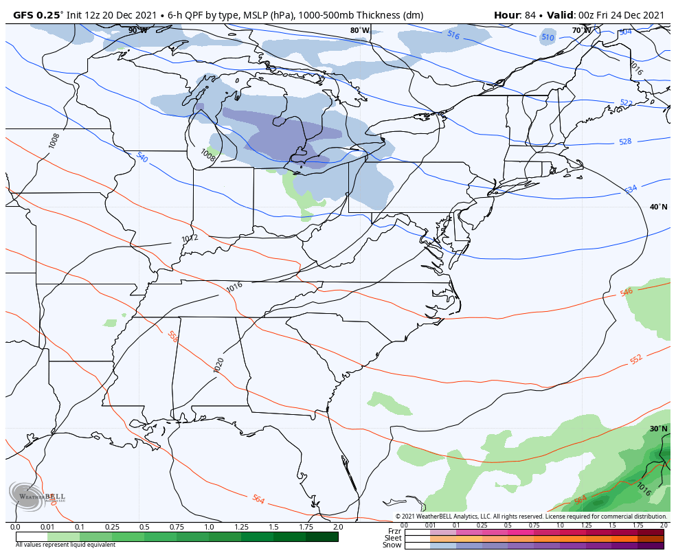
Wind gusts of 40mph or higher will be likely during this time…
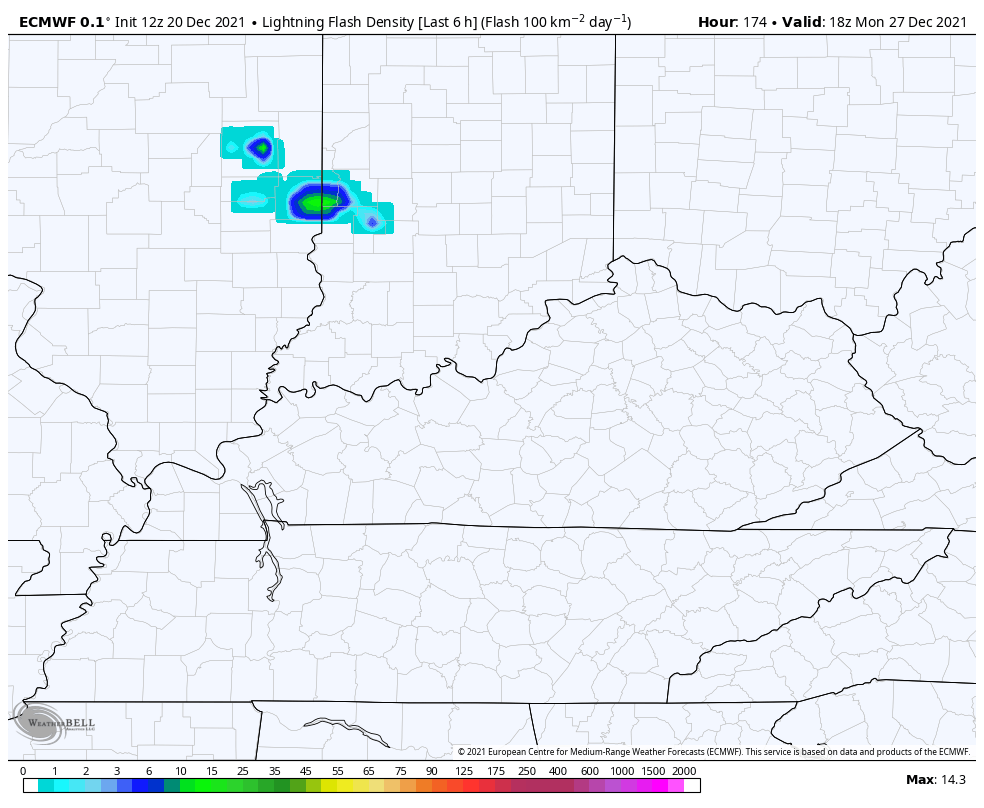
The EURO even has a few flashes of lightning on Christmas Eve…

After a temp drop for Christmas Day, the numbers jump ahead of the next storm system due in town early next week. This may also have some thunder and lightning with it…
That’s with the back and forth temp pattern to close 2021 as we wait on this deep trough to get established to start the new year…

Enjoy the rest of your day and take care.
