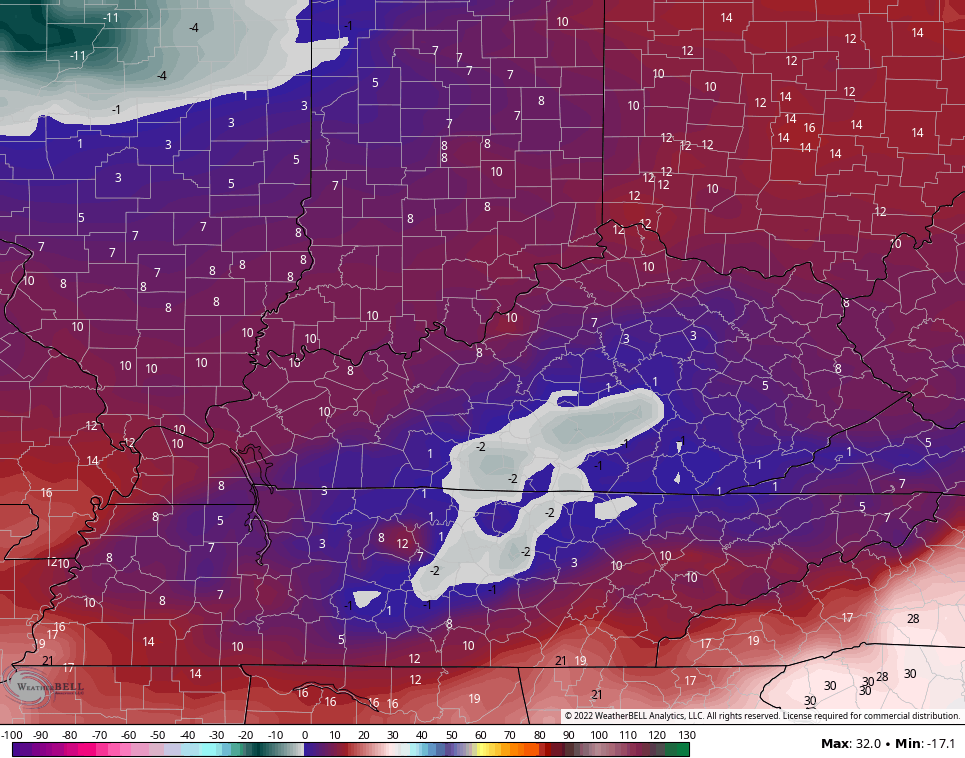
Good evening, folks. Our snowstorm is winding down after blanketing the bluegrass in several inches of snow. Now comes the bitter cold as temps make a run at zero for overnight lows with wind chills that will be much colder than that.
Overall, I feel really good about the forecast I put out. Lexington officially recorded 9″ as of 7pm this evening and that was only a half inch from the record for the date. A few spots in the east may hit double digits.
Now comes the bitterly cold overnight. Lows make a run at zero and the GFS has a few spots going below zero…
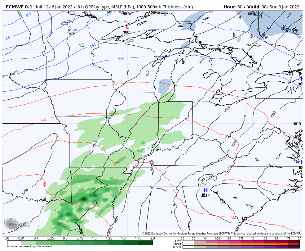
Temps stay frigid on Friday before rebounding a bit Saturday. Rain rolls in for Sunday ahead of another arctic front and some of the rain may end as snow Sunday night…
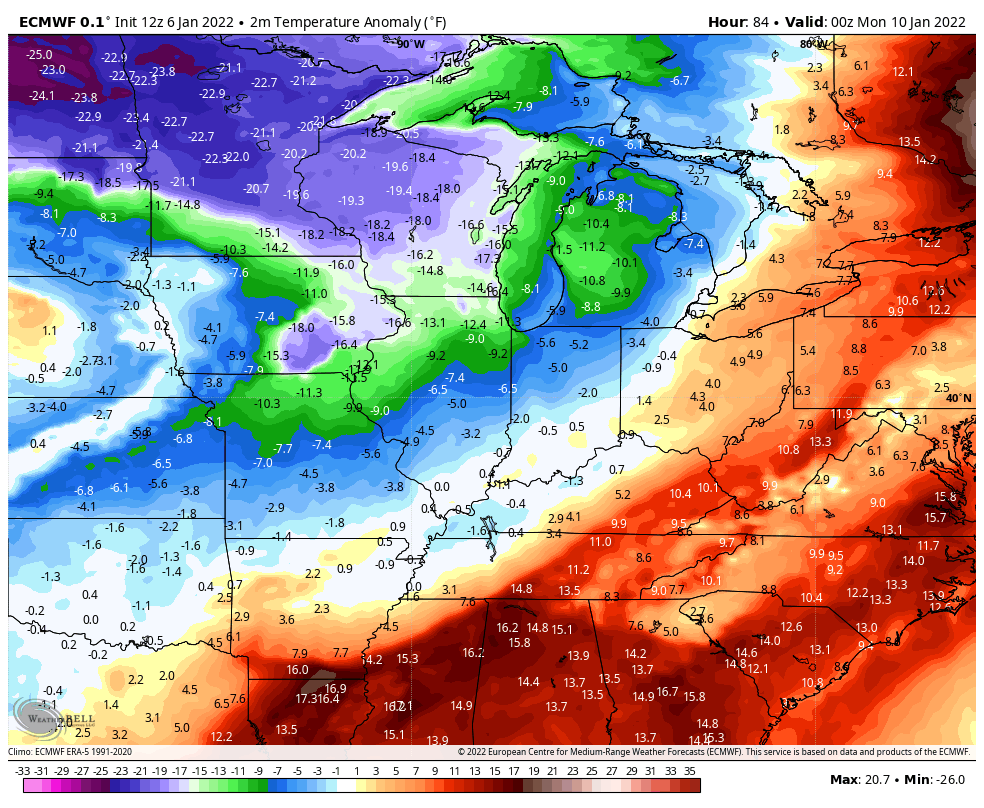
Temps go way below normal again early next week…
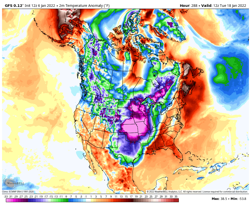
There’s a little give and take after that, but the pattern emerging for the middle of the month has the chance to really take us into the deep freeze. The Ensembles have been showing this and the operational models are now catching on…
I leave you with your tracking tools for the rest of the evening…

LEXINGTON


LOUISVILLE


FRANKFORT

BOWLING GREEN


E-TOWN

GEORGETOWN

MT. VERNON

LONDON


CORBIN

SOMERSET

PIKEVILLE

Mt. Parkway near Slade

MOREHEAD

Have a great rest of the evening and take care.

so did the indices flip or something?
Just read your tweet. 9.9 inches at KLEX, breaking the 1910 record on this day in 1910 of 9.5 inches. Here in northwest Lex it’s more like 7.5 inches……still a decent storm for sure. This totally exceeding my expectations. I just pray for those people stuck on the interstates. That is such a helpless feeling.