Good Friday to one and all. The final segment of our winter storm/ice storm is playing out today with light snow and bitterly cold temps blowing in. This precedes a much-needed break in the winter weather in the coming days before things get really active once again.
Before we look ahead, take a small look back at what this storm did to the state Thursday into last night. Let’s start with the ice bringing down this massive tree in Lexington…
At least 200 yo tree in our backyard fell on our garage. So grateful this didn't harm the tenant, who had to get out through a window because the tree took out her porch. @Kentuckyweather pic.twitter.com/SgPau27yIk
— Stephenie Steitzer Hoelscher (@steitzerpolitic) February 4, 2022
@Kentuckyweather Northern Bath County. East Fork area. pic.twitter.com/VqtnMzOyCZ
— JeffSetters (@jeff_setters) February 4, 2022
https://twitter.com/NbergWX/status/1489362417519939585?s=20&t=-f5o6TictMna2vEwadhToA
@Kentuckyweather @ryanhallyall Here in Hebron, KY, it feels relentless! The sleet and freezing rain just does not stop! #WinterStormLandon #NKY #CVG (video taken at 8:33pm EST 02/03/2022) pic.twitter.com/pMJul0ePXy
— Bridget (@HecateMagic) February 4, 2022
There are literally hundreds of other pics and videos of what this storm did across the state, including the minor flooding.
Did the forecast play out perfectly? Nope, but a forecast trying to pinpoint 4 different precipitation types, amounts, locations and timing is the absolute toughest forecast of any winter.
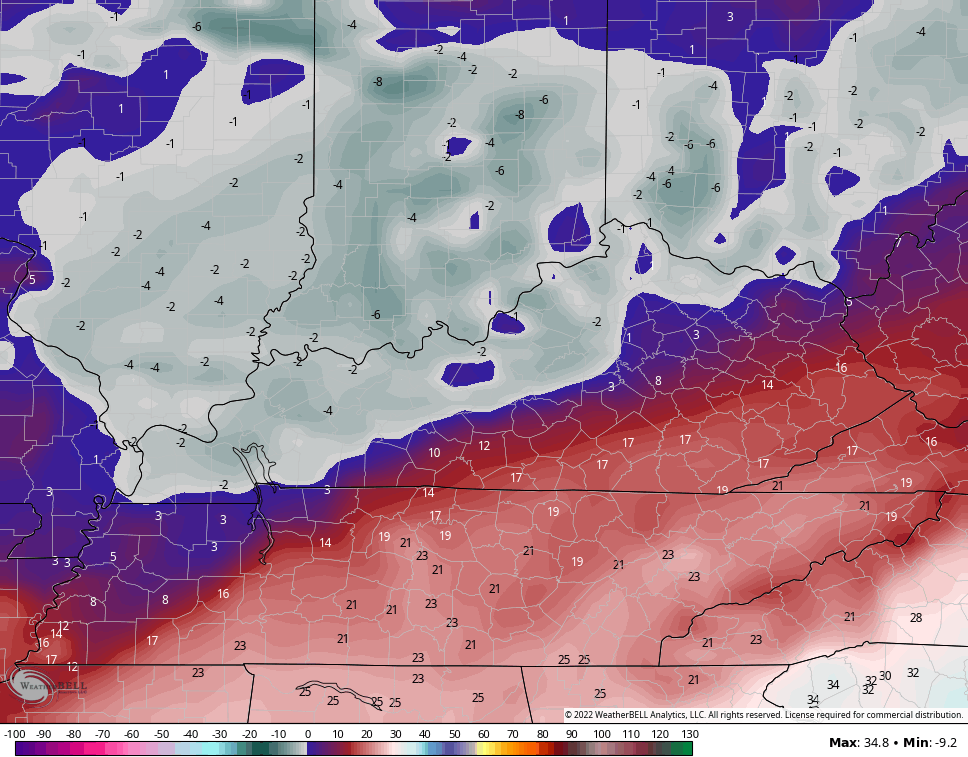
Today brings a period of light to moderate snow crossing the state and this will especially impact the northern half of the state. Some folks in the far north can pick up a couple inches of snow to go on top of the ice and sleet.
Here’s a look at a few of the models with today’s light snow…
EURO

GFSD

With very cold air in place, we will need to watch for a small band of overachieving snow in the north. Road conditions will continue to be nasty through the day.
A few flakes may fly through tonight or early Saturday. If they do , it would keep temps from totally bottoming out like the GFS thinks will happen…
No thanks.
Another light snow or flurry maker shows up early next week, but that’s about all she wrote until late next week. That’s when the pattern grows active once again and we are not through with winter storm threats, folks.
Additionally, this pattern continues to consistently below normal and we have more arctic shots to go through before February is over. Can we just go ahead and fast forward to spring?? No? Ok fine.
I will have another update later today. I leave you with your Friday tracking tools…

LEXINGTON


LOUISVILLE


COVINGTON AREA


FRANKFORT


GEORGETOWN

BOWLING GREEN


PADUCAH

FORT CAMPBELL

MOUNTAIN PARKWAY NEAR SLADE

MOREHEAD


MAYSVILLE

Stay safe out there and take care.

Thanks Chris, Quite a weather event in areas to my north and I HOPE it doesn’t happen again, but with CLIMATE CHANGE it may very well be our new Winter Weather Type along with Severe Weather (Tornadoes. )
I won’t know what damage I may have until daylight returns. I sure wish the best for those who have damage to their homes and property and I hope they will be able to find help ( these trying days in our Country ) to repair and clean up the damage ? In the ICE STORM 2009 we were able to find contractors to clean up the mess. It’s Not the same now as it was then. Good luck with that.
On the good side of the Storm, my sister, who lives in Northern Indiana sent photos of the beautiful Snowfall they had while we were here trying to guess what was going to happen to our home, property and whether we would electrical power. Tress and anxiety is not healthy folks !
#TEAMSUMMER because our Springs anymore are full of undesirable weather surprises.
Now that it is daylight I can see zero damage from the Storm. Estimating, we had about a quarter of an inch of Ice from the Freezing Rain last evening followed this morning by very light Snow and flurries. In other, more optimistic words ” it’s a Winter Wonder Land. “
I am grateful that the majority of us dodge a bu11et yesterday.
Richmond got some ice, but glad it didn’t cause an outage at my house. You’re the man, Chris. Idiot boy BM is claiming victory as usual, but nobody with a working brain takes him seriously.