Good evening, folks. We continue to track heavy rain and flooding concerns across the south and east as we start to turn our attention toward the next system coming later this week. This brings a significant river flood threat and is also likely to produce some winter weather.
The flood risk with system number one is now focusing more on southern and eastern Kentucky. Another 1″-2″ of rain may fall in these areas overnight. Here are your radars to follow along…

After a break in the action early Wednesday, storm #2 then moves in from the southwest with rain and some freezing rain across western Kentucky. This will likely bring another 1″-3″ of rain to much of the region with the heaviest targeting some of the same areas getting hit tonight. Here’s the GFS rain forecast from this afternoon through Friday…

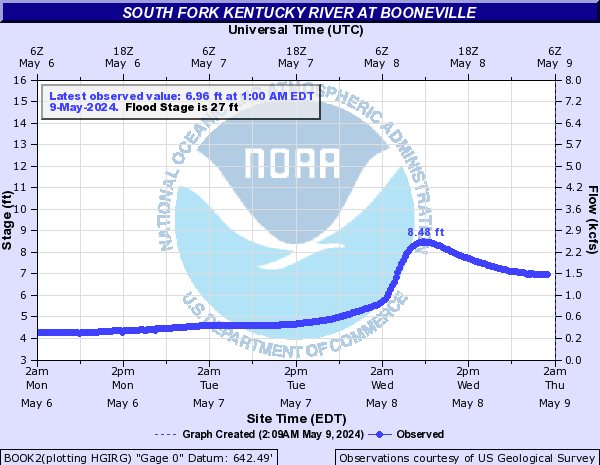
This much rain really ups the ante on river flooding and some of the forecasts are very concerning, especially along the Kentucky River in Estill County…

Other points get close to major flood stage…
The Red River and Cumberland River are also expected to flood…


This next system is likely to also bring some freezing rain and sleet to areas of northern and western Kentucky, but the extent of which is still in the air.
The GFS and EURO like areas of western Kentucky fore more ice…
EURO

GFS

The NAM is farther south with all that, but it really doesn’t have many friends.
Enjoy the rest of the day and take care.
