Good evening, folks. Another storm system is rolling into the region and will bring the potential for more heavy rain and flooding concerns. This is a much colder system that’s also bringing the potential for freezing rain and sleet for some.
I don’t have much time, so let’s concentrate on the system at hand. A Flood Watch is out for southern and eastern Kentucky through Thursday night…
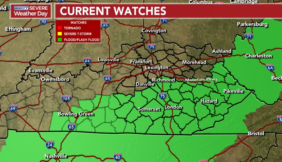
Here’s the area I’m outlining for the greatest threat to see a general 1″-3″ of rain during this time…

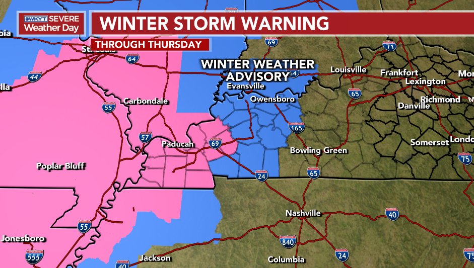
Western Kentucky is dealing with an increased threat for freezing rain and sleet, and this is why we have a Winter Storm Warning for the far west. There’s also a Winter Weather Advisory just east of that. Here’s a look…
The Sunday system continues to look to skirt just to our south, but it might be close to bringing some flakes into southern Kentucky…

Much milder winds now look to kick in next week as March may start out on a windy and very mild note. The EURO has these numbers before the week is over…

Yes, please!!!
Here are your tracking tools to follow the current system across the region…

PADUCAH

FORT CAMPBELL

Enjoy your evening and take care.
