Good Thursday to one and all. What’s left of Hurricane Ian will roll into the region over the next few days, bringing the potential for too much rain for some this weekend. That will bring an increased threat for some high water issues.
Before we get to Ian, let’s talk about the cold weather of this week. As expected, frost was pretty widespread Wednesday morning as temps dropped deep into the low and middle 30s…
We had our first 32 and below temps this morning on the Kentucky Mesonet. Widespread low and middle 30s brought frost to much of the area and I still can’t believe the NWS didn’t have a Frost Advisory out. #kywx pic.twitter.com/g7G7z7lTGm
— Chris Bailey (@Kentuckyweather) September 28, 2022
Some frost this morning in Lexington, KY. Yes! I covered the mums. @Kentuckyweather #KYwx pic.twitter.com/mYcBN4NK19
— KY-WX Video (@KYphotog1) September 28, 2022
Temps in the low and middle 30s in late September and not one local NWS office bothered to issue a Frost Advisory for the public. I will never understand this mindset. Never. Ever.
This morning starts with a little more cloud cover with temps in the upper 30s to low 40s. Highs stay in the 60s again for many in what is turning into one of the coldest final weeks of September you can get around here.
Clouds thicken on Friday and this is coming from the east as Ian inches closer to us.
Hurricane Ian came ashore as a borderline Cat 5 storm on Wednesday, slamming the Fort Myers area. This storm is slowly crossing Florida and will get just off the Atlantic Coast before lifting northward into Georgia or the far southwestern part of South Carolina for a second landfall. From there, this system continues to churn toward the northwest.
Here’s the latest on Ian from the National Hurricane Center…

Remember, that cone only represents the area where Ian will still be strong enough to keep it’s name. The remnant low will keep going, but just won’t be a classified system at that point.
Make good use of our exclusive interactive radar to track Hurricane Ian. This even has live streams from storm chasers in the path of this major hurricane…
What’s left of Ian begins to impact us with clouds increasing on Friday with rain coming in from southeast to northwest Friday night and Saturday. Check out the Ian track from the HWRF hurricane model…

The HMON hurricane model is very similar…

The EURO continues to have a similar look…

If we can get the remnant low to actually track into eastern Kentucky and is still considered tropical or subtropical, it would be a rarity. Since the late 1800s, only 51 such systems have actually moved across the state…
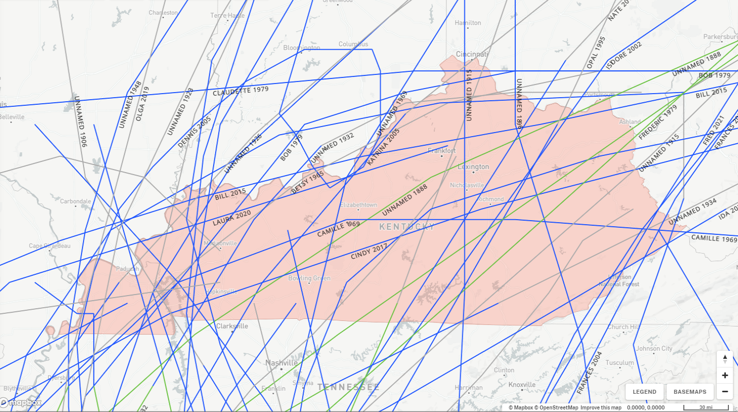
Just about all of those came from systems in the central Gulf of Mexico…
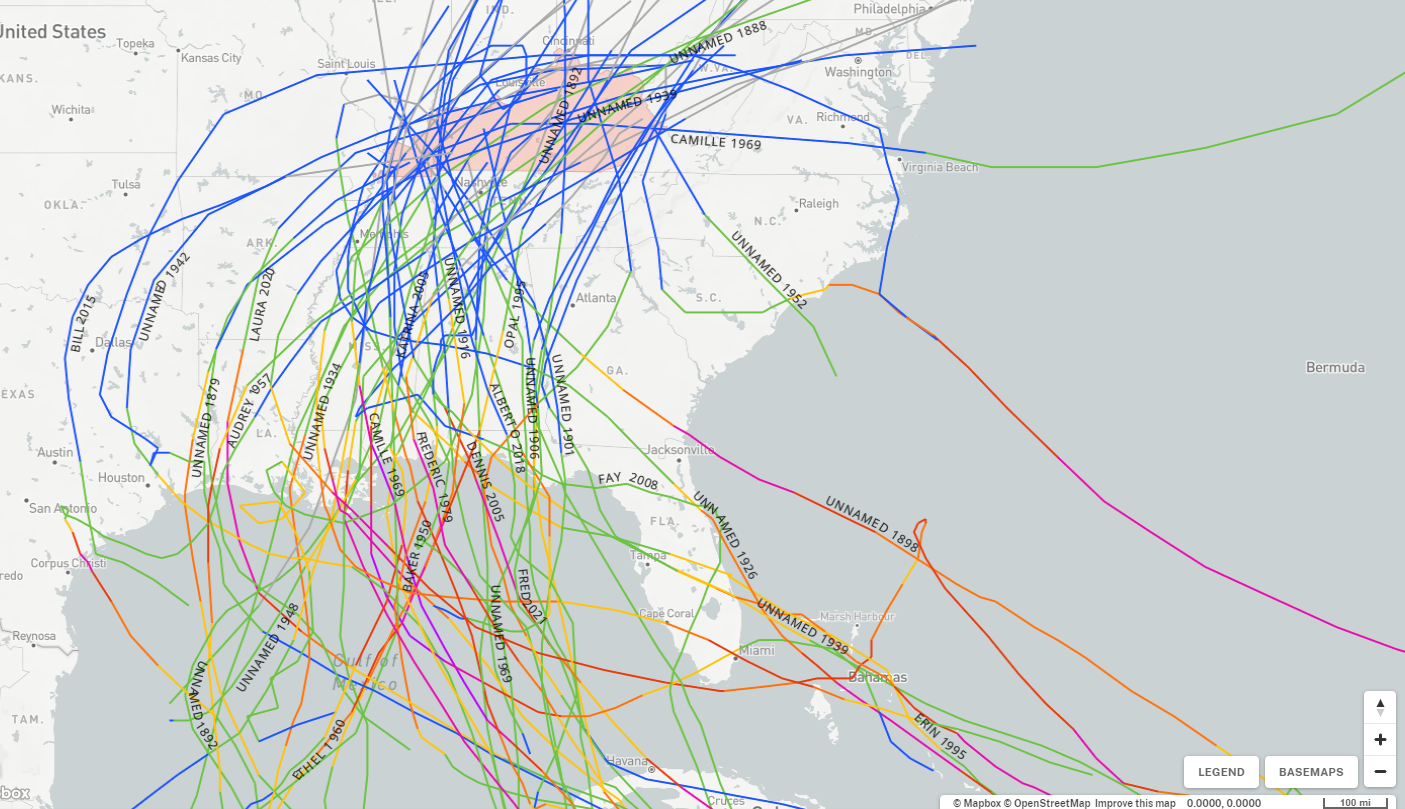
A track like Ian is taking is rare, but it’s even more rare for us to get a system to impact us from that direction.
With the expected track, the heavy rain threat continues for eastern Kentucky…
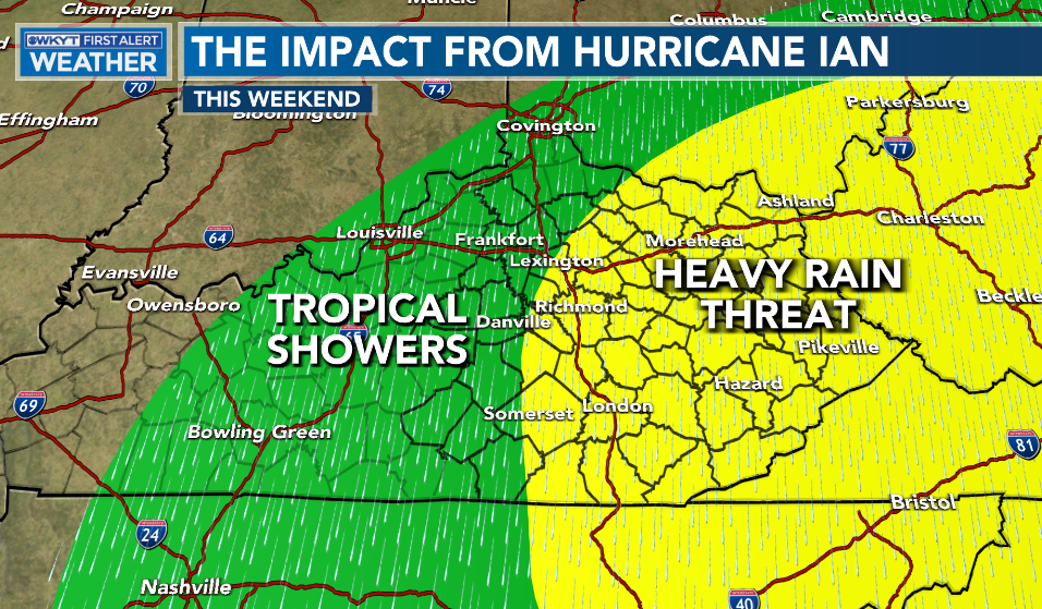
We need to watch for local high water issues in the east.
As that system moves away from us early next week, we will be watching for another trough trying to dig in here late next week into the following weekend. The GFS Ensembles are certainly hinting at this…

I’ll see you guys with another update later today. Make it a good one and take care.

As of 12:15am CDT, Florida power companies were reporting over 2,240,000 customers (families & businesses) were without power. A large number of these outages were caused by tree limbs crashing to the ground, cutting power lines, and since many of these lines were cut in multiple places, restoring power will be a long, laborious process. Late this afternoon, the National Hurricane Center declared Ian to be one of the top 5 hurricanes to hit the U.S., ever!
Joe, I talked with my Sister and her Husband last evening and told me they were both fine as they were lucky to be safe in a home that was built with Hurricanes in mind plus their friends had a generator. The sad part is what they will find when they return home in Venice, Florida ?
I use to grow Chrysanthemums lots of them for sell and a light Frost would never destroy the flowers but would enhance the flower color so there would be no need to protect them from that light Frost some locations had the other morning.
The current number of customers in Florida who are without power is 2,616,333, which means that nearly 24% of Florida’s electrical utility customers have no electrical power. Also, since each “customer” represents an entire family or individual businesses, the overall impact is incredible. That your sister and brother-in-law’s friends have a generator is a godsend, and I hope they stocked up on fuel beforehand, because, unfortunately, there is no way to predict how long it will take to restore power, since a large number of power lines will have been cut many times due to felled tree limbs (and buildings). Sort of reminds us of the aftermath of the ice storm in 1993!
Here’s a site that shows the current power Outage status:
https://poweroutage.us/area/state/florida
I’m sure they have plenty of fuel for the generator, it may be propane ? Don’t know for sure. Yeah, it may be months or years before things get back to normal in Southwest Florida !
Chris, you and other local Meteorologist did warn us the possibility of Frost mainly in the low lying areas, but I must side with the NWS/ NOAA not issuing a ” Frost Advisory. These experts had their hands full dealing with a Major Hurricane for crying out loud!!!
Is it ever going to rain west of I-65 again?
No Rain in my local forecast the next several days unless the the ridge to our west breaks down but showing no signs of that happening yet.
Here’s the latest Drought Monitor from the NWS/ NOAA :
https://weatherstreet.com/drought-map-us.htm
I’m amazed that burn bans haven’t been issued!
A Burn Ban may be in place in my area of Taylor County, but it is so rural out here we don’t receive much information from Campbellsville our nearest town.
At this time I must say that Hurricane Ian was the worse in my late lifetime. the second was Hurricane Camille in August 1969. Here’s the article on Camille for the younger Folks :
https://en.wikipedia.org/wiki/Hurricane_Camille