Good Friday, everyone. It’s Breeders’ Cup weekend in Kentucky and the weather to start things out is absolutely amazing. That won’t last beyond today as some big time winds bring showers and storms into town on Saturday.
The longer range pattern tries to take a walk on the wild side later next week as we transition into a much colder look.
Let’s kick this party off with what’s going on out there today. It’s an awesome day with temps spiking deep into the 70s as winds pick up from the southwest. Western Kentucky will see some clouds rolling in as those winds really crank out there.
At the same time, a severe weather outbreak is likely for the Lower Mississippi Valley back into Oklahoma and Texas. Give our exclusive interactive radar a try and take it into those areas to track the storms as they form. This radar also gives you live streams from storm chasers in the path of the severe weather…
The storm system responsible for all this rolls toward the Great Lakes on Saturday and drags a cold front across the state. This brings some big time winds through the region with gusts of 40mph-50mph possible…
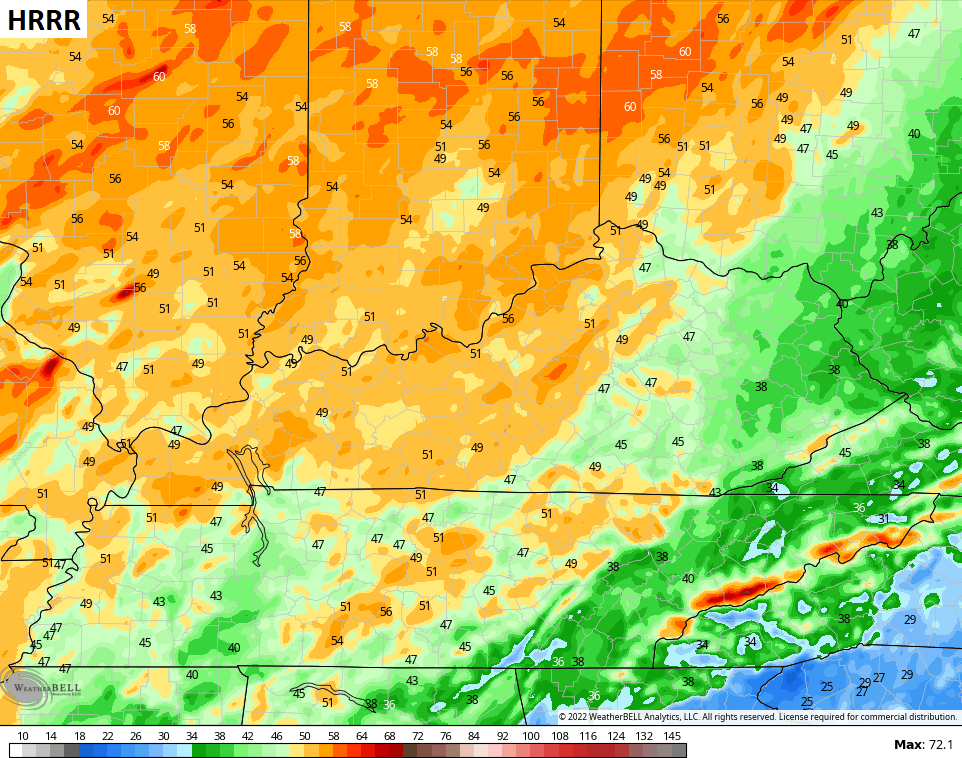
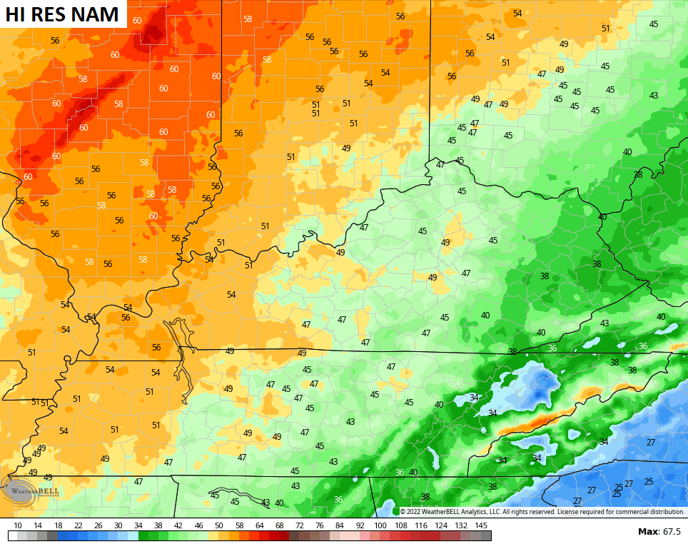
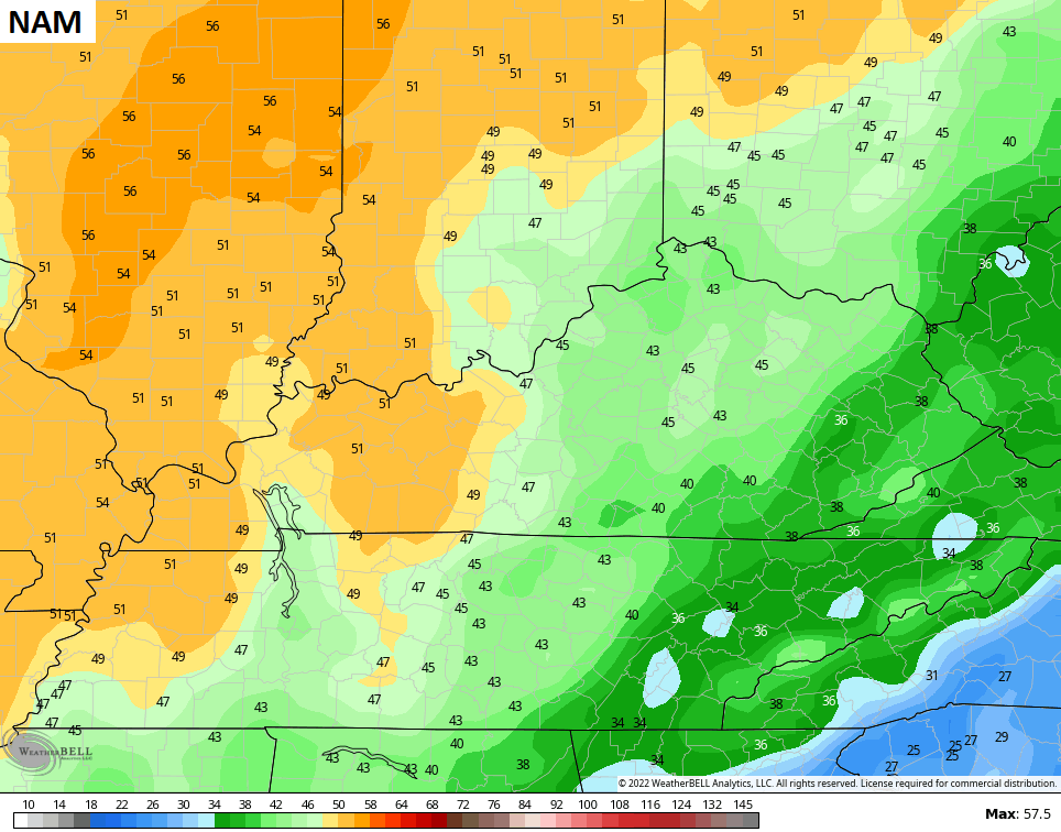
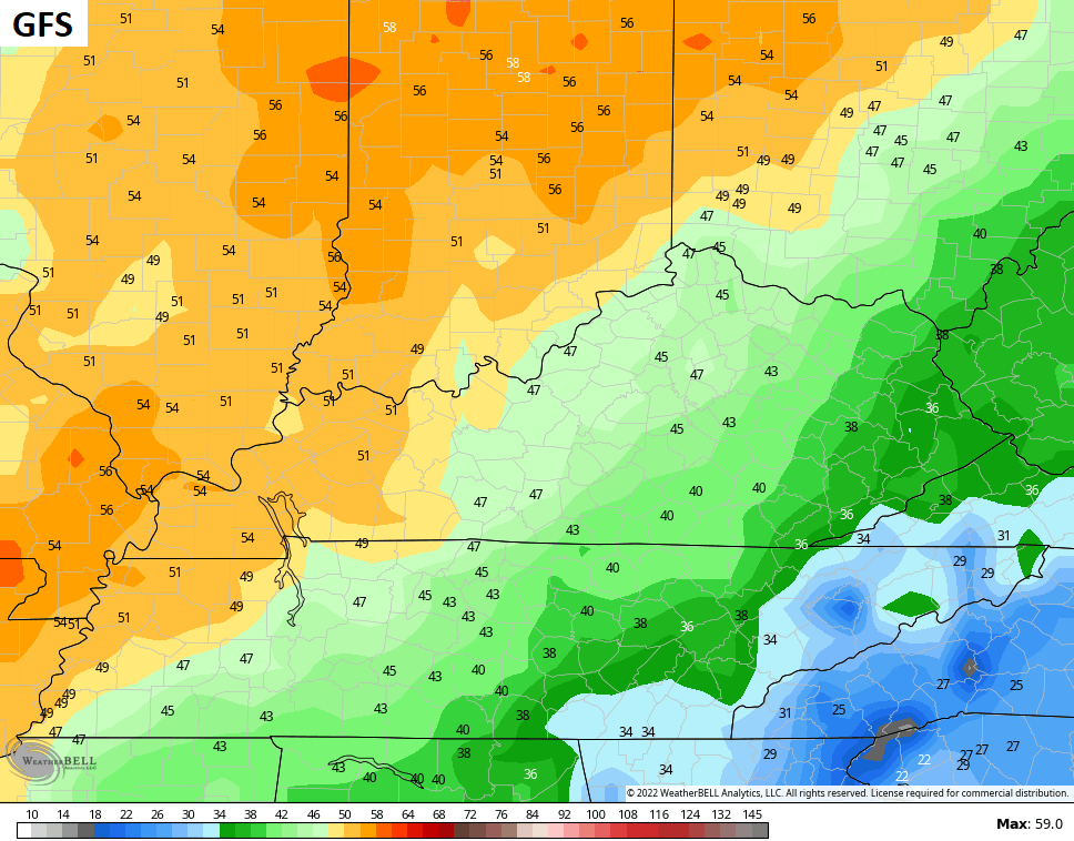
Timing the showers and storms from west to east across the state is still a bit of a work in progress. It will be a close call for the closing races on Saturday at the Breeders’ Cup in Lexington. The future radar from the HRRR shows this line getting into Lexington during the mid-late afternoon hours. This animation starts at 4am Saturday and goes through 8pm Saturday…

Some lingering showers and storms will hang around into Sunday and Monday, but this shouldn’t be anything more than scattered stuff.
The pattern next week continues to be an interesting one with the tropics possibly spitting out a system near the Bahamas…

That system may become tropical or some kind of hybrid storm as it slowly works toward the US by the middle of the week. That may get far enough inland to bring us some rain by late Wednesday or Thursday.
At the same time, we get a powerful cold front to work toward us and there’s a chance for these two to hook up. Some of the models have been showing this from time to time. If that happens, we can get a wild looking setup like what the Canadian is showing…

Of course, you can also get a much weaker system that doesn’t have as much cold air, and that’s what the GFS has…

Either way, that unleashes a different pattern for the second half of November.
I will have another update later today. Have a fantastic Friday and take care.

Severe Weather is right at our doorstep. Just like last year. Tropical activity shows no signs of slowing down, but this could protect the Ohio Valley by weakening these systems coming towards our area of the country for a while.
It is too bad that the rain will fall during the horse races. The rain could not come at a worse time.
Funny, we are in a quasi-type drought situation and of all days & time it decides to rain during a major sports event in Lexington.
Here in Maple we are approaching ” exceptional drought status ” wells are going dry ” and plants are suffering as well as wildlife. I hoping for a good soaking rain tonight through Monday. In my opinion this is more important.
Is that snow on the Canadian for next Saturday? Opening day of modern gun deer season?
Yep, should be great hunting. I’ve seen many deer this Fall.
Our farm in Washington County has a lot of bucks this year and less does for a change. Since I finally got my trophy buck, I might just sit this opening day out and hope my husband can get one for the freezer.
I harvest a nice 8 point buck back in 2008. I quit hunting after that as I had some heath issues. My brother however has been hunting for 50 years, but he decided to call it quits this year. Wishing you and your Husband much success in your hunting venture.
Spelling correction : health not heath. Please forgive me for all the grammar and miss spellings. I had covid twice this year and there after I had two strokes. No balance in my walking as a result.
Schroeder, so sorry to hear about getting Covid twice, and then having strokes on top of that! I’ve heard of a couple of cases around here where a patient had Covid that became “long Covid”, and they’re saying that long Covid was responsible for triggering a stroke. That is one, evil virus. Hoping you stay healthy going forward, since it’s likely that we’ll have plenty of nasty weather to comment on
Thanks Joe
Sorry to hear of your health issues Schroeder. I hope you’re on the mend and have seen the last of Covid.
Thanks Dottie. I’ll be Okay.