Good evening, folks. We are inching closer to the big Breeders’ Cup Weekend and we have some awesome weather to start things out. Unfortunately, there’s a cold front ready to crash the party on Saturday and this may cause some issues.
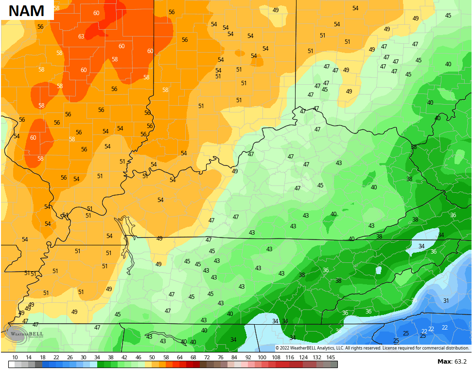
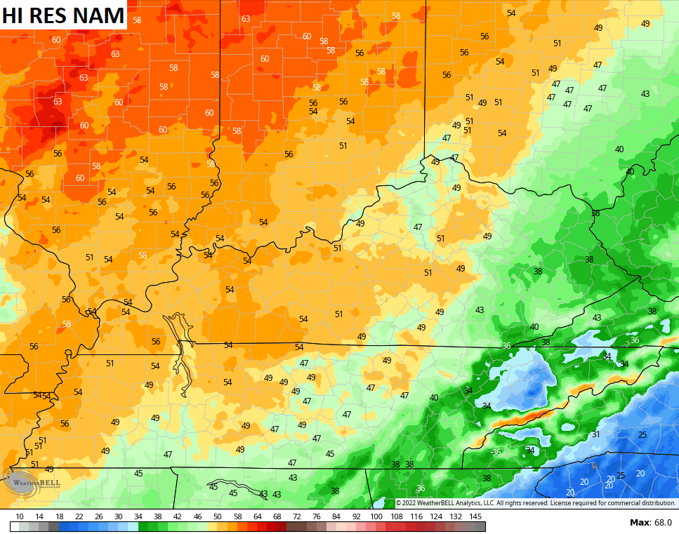
My overall thoughts on the setup have not changed a bit. Showers and storms rumble into western Kentucky Friday night and Saturday morning as a cold front moves eastward. This front is being pulled along by a strong low pressure in the Mississippi Valley that’s heading toward the Great Lakes. With a big high to our east and that low to the west, strong southwest winds develop.
Gusts of 40mph or greater are likely Friday night and Saturday. Some of the models are cranking those gusts even higher…
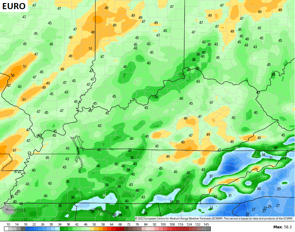
A line of showers and storms sweeps eastward across the state and it should diminish some along the way. The EURO shows the animation from Friday night through Sunday…

Next week looks really active with a deep trough rolling out of the west as a tropical system or some kind of hybrid develops off the southeast coast. The NHC is monitoring this…

That’s the system I’ve talked and talked about. Sick of it yet? Too bad.
The models develop this and bring it inland by Wednesday and some of that moisture may work in here by Thursday. At the same time, we get a strong cold front to sweep east behind it. Here’s the EURO…
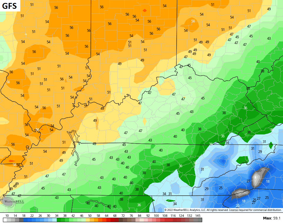
The GFS is slowly finding its way through all this…

Enjoy the evening and take care.

Some of us live in areas that are prone to wildfires and forest fires. Desperate for rain anytime it comes. Enjoy the Breeders Cup with that in mind.
Except for far western Kentucky, the latest model runs are becoming moisture starved for central and eastern Ky,, exactly
…what we can’t afford to see.