Good afternoon, everyone. Very mild winds are blowing out there today as our temps continue to surge. This surge is ahead of a series of storm systems rolling in over the next week with the return of winter trying to show up later next week.
This first system moves in with some showers on Friday and then some showers and storms for the final day of the year on Saturday…

That moves away for a dry New Year’s Day on Sunday as our attention turns toward a big storm system early next week. This one rolls well to our west and brings the potential for strong to severe storms to the western half of the state.
The Storm Prediction Center continues to highlight the western half of the state with a severe risk late Monday through early Tuesday…

That storm system drags a cold front in here and slows it down Tuesday and Wednesday as another low likely fires along it. This is the one I’ve been pointing to as having the chance to tap more cold air and some snow.
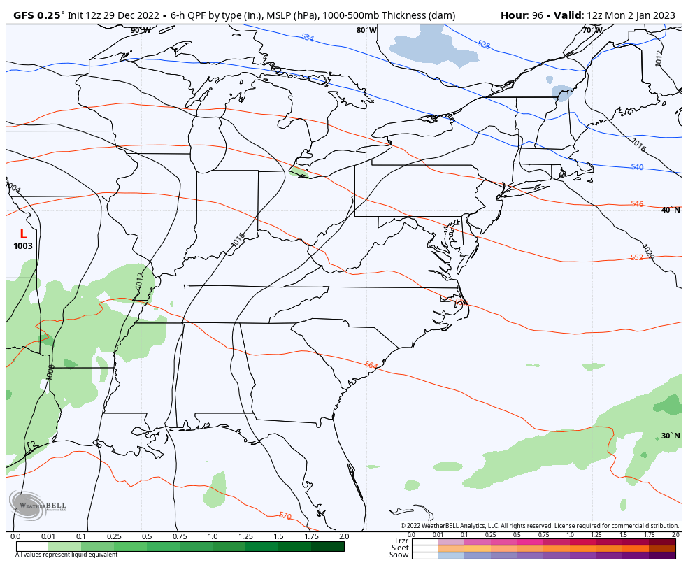
As we get closer, the models are seeing that possibility a little better. These model animations show the evolution of the week…
Canadian

GFS
I will update things later today. Have a good one and take care.
