Good evening, everyone. Gusty wind and a few showers and storms are pushing across the Commonwealth as a strong cold front approaches. Those winds increase even more for Thursday as more of a winter setup begins to return.
The threat for severe weather is greatly diminished this evening. The instability just isn’t showing up, but there’s still a low-end chance in the west…

That line of showers and storms will work through the rest of the state tonight and early Thursday. Sunny skies and temps in the 60s follow this up Thursday morning into the early afternoon. Winds will be cranking on this March-like day. Gusts of 40-50mph will be possible.
Much colder air then works in from the northwest and that will be accompanied by a few slurries and snow showers into Friday.
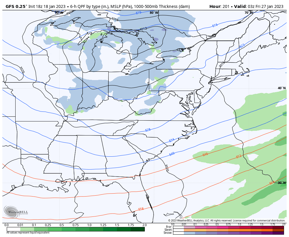
It looks like the fence will be setting up on top of us with the late weekend system. The models continue to advertise rain and some snow…
EURO

GFS
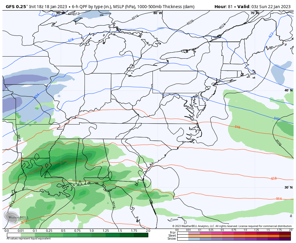
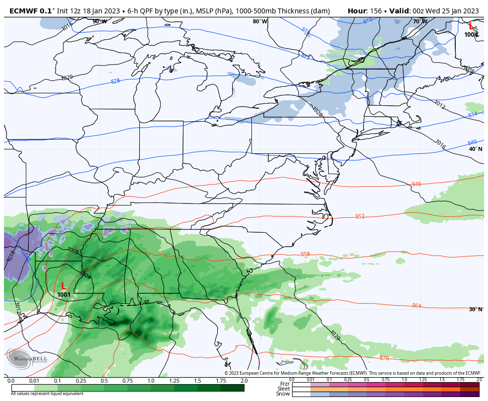
With each system moving through, it forces the storm track farther south, allowing for the next system to have more of a winter signal. Tuesday and Wednesday offer up a pretty healthy model signal…
EURO
GFS
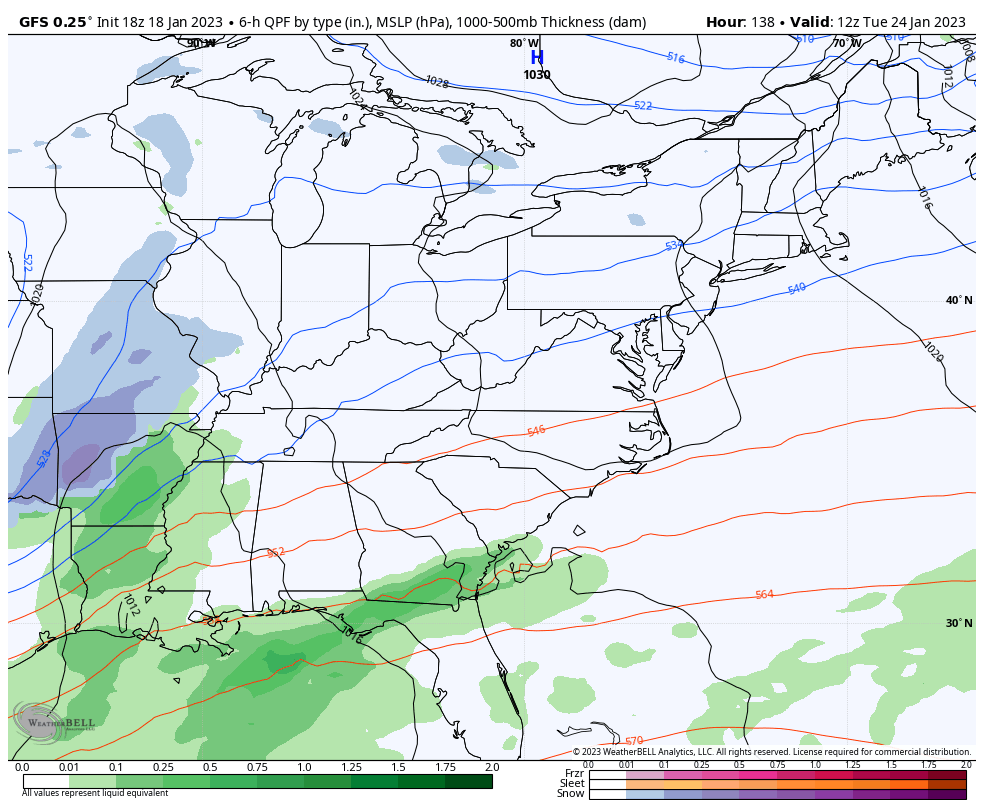
And the GFS has that storm track going farther south with the next one…
Here are your storm tracking toys for the evening…

Current watches

Possible Watch Areas

Have a wonderful evening and take care.

Alas, KY is a winter meteorological fence. It takes a lot of things to align in order to get over the fence. Not seeing a big snow event getting over it this winter. Seems the usual fence action: Majority of precipitation for bigger events is rain, and the minority is frozen stuff. That and or they mainly flow to our north and then east.
As long as not ice- call it a win!