Good afternoon, folks. Showers and storms are pressing across western Kentucky and bringing the low-end threat for severe storms. This is ahead of a bigger weather change on tap in the coming days. It’s one that brings winter back in here and likely takes us into another harsh setup.
The severe threat today is mainly confined to the west. That’s where the Storm Prediction Center has the Marginal to Slight Risk for severe storms through the evening…

There’s still the chance for a few strong storms getting into central Kentucky late this evening into the wee hours of Thursday morning.
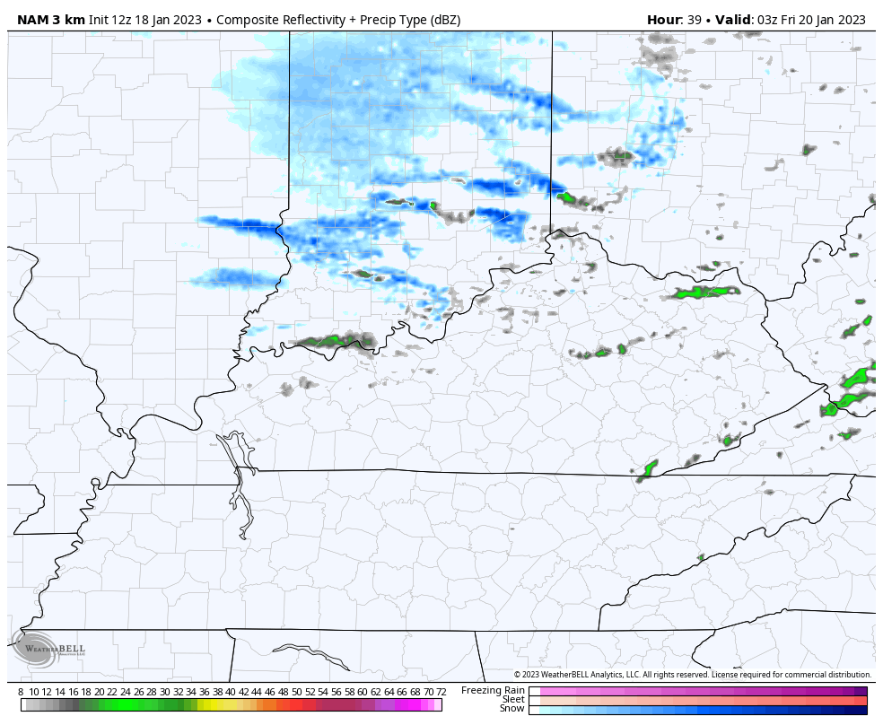
Thursday continues to look rather wild with sun breaking out and winds gusting to 40mph as temps spike to 60 around midday. Colder winds and clouds then dive in from the northwest during the afternoon and evening. That colder air will also be accompanied by a few flurries or snow showers late Thursday night into Friday.
The Future Radar from the Hi Res NAM shows this well…
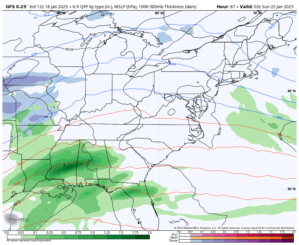
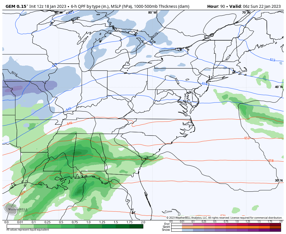
The next system coming in Saturday night and Sunday will bring rain and snow to the region. We’re likely to see the dividing line between the two setting up on top of Kentucky.
As expected, the GFS is sinking farther south and east…
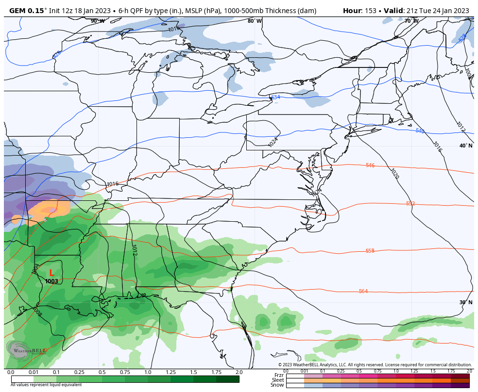
The Canadian is a little bit north and west than earlier…
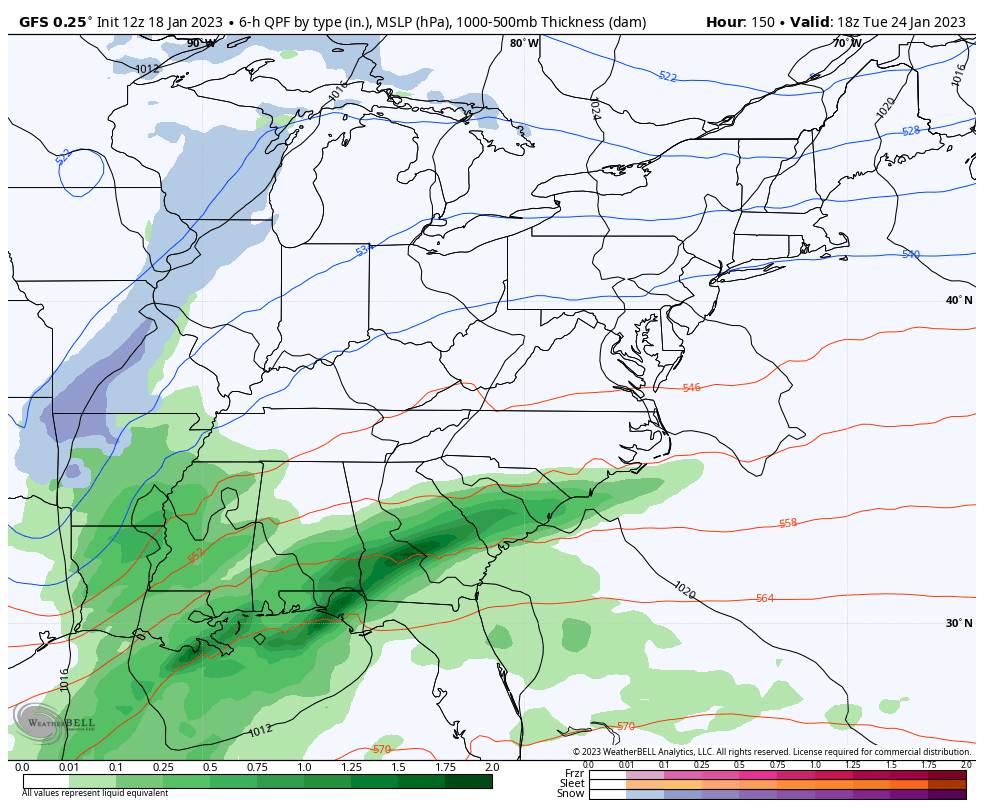
Again, that looks like a fence rider to kick off a very busy winter period. A period likely to be followed up by another big storm Tuesday and Wednesday…
GFS
CANADIAN
The track on this storm will change a lot in the coming days, so keep that in mind.
I will have another update this evening. Until then, here are your tracking tools to keep you company…

Current watches

Possible Watch Areas

Have a wonderful evening and take care.

I hope its not going to be rain showers followed by the usual dusting of Snow followed by frigid, dry Arctic weather. This ridge in the Southeast has kept most if not all the Winter Snowstorms out West and close to the Canadian boarder. The tide will likely turn when La Nina completely dissipates. However, doesn’t mean that ENSO / neutral or ENSO / El Nino will give us a Snowy Winter, but are chances increase when either of these two weather cycles are in place in the Tropical Pacific.
We are already half way through Festive Flakes season. Spring isn’t that far off.
I think that could be it because I’ve noticed all the storms are following a similar path