Good Saturday, everybody. It’s a gorgeous day in the Bluegrass State with mild temps and some sun. Soak it up because rain rolls in tonight and Sunday with winter weather threats behind that for the week ahead.
Temps today spike into the 50s on a strong southwest wind. Skies are partly sunny with clouds thickening from west to east this afternoon and early evening. That’s ahead of a system set to bring some decent rains in here tonight and Sunday.
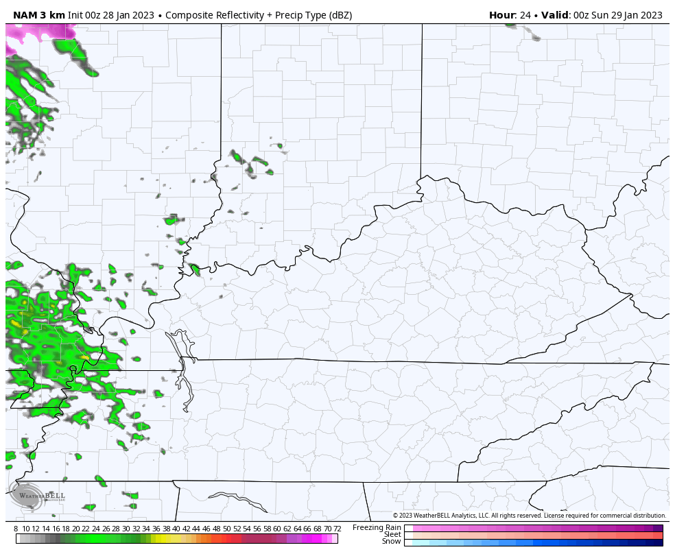
Here’s the Hi Res NAM Future Radar from 7 this evening through 7 Sunday evening…
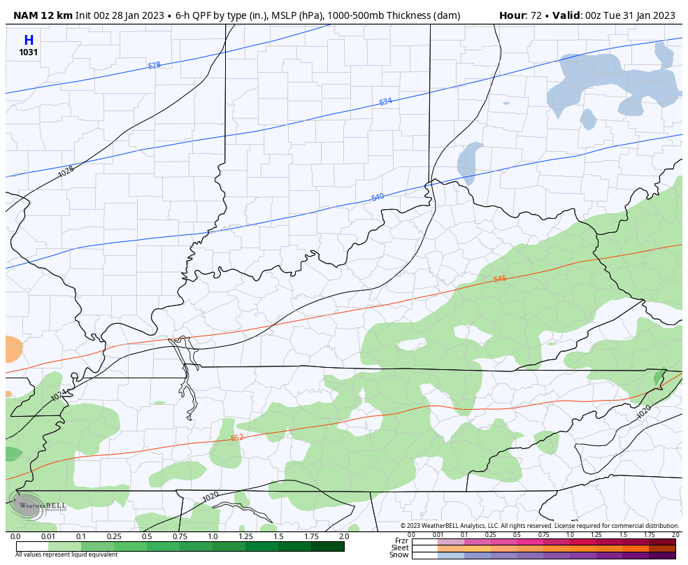
Temps drop behind this as colder air presses in from northwest to southeast late Monday into early Tuesday. A wave of low pressure may be throwing moisture along and north of this boundary, producing overrunning precipitation. The NAM brings in all the colors Monday night…
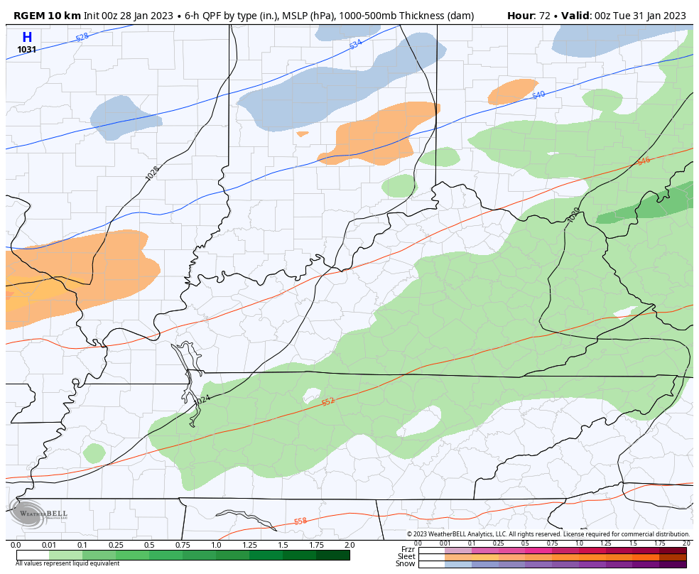
The short range Canadian has a similar look during the same time…
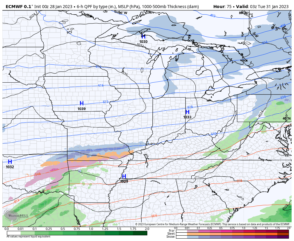
Here’s what the Canadian sees for the whole week…
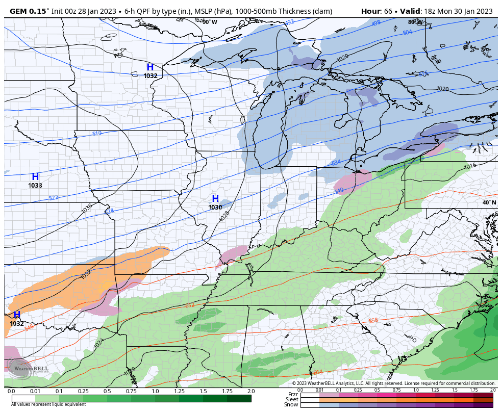
And the EURO for the week…
You can clearly see the steady stream of southern systems working along the stalled boundary. Time will tell on what they mean for us, but it will make for some challenging forecasts in the coming days.
I’ll see you back here later today for updates. Make it a good one and take care.

If I was force to make a choice between all the model scenarios depicted above I would take the Euro.
I hope the boundary continues to move further south. Although I have a feeling that it will slowly move back to the North.
None of the models
Test
*Forced*LOL
I hope you’re feeling better.
Thanks! Slowly but surely.
Just having trouble getting my comments to post!
I don’t put much stock in any weather model forecast anymore. They are notorious for not agreeing. I would prepare for the worst and hope for the best. Sometime, probably in the far distance future, if Man is still on Earth the weather predictions will advance to 100 % accuracy. Until then we will have to put up with a continuing guessing game. If the teleconnections are correct, they are indicating a mild start to February with La Nina and the Southeast Ridge controlling our weather.
Punxsutawney Phil will tells us on February 2nd if Spring is here. I’m hoping he doesn’t see his shadow and Spring is here # teamspring. I’m tired of the many gloomy days and the lack of Snowy days we been having in the past 8 to 10 years. Time for a change I would hope.
Couldn’t agree more . That southeastern ridge has been a snow buster this year and for several years really. Of course as usual snow along and north of the Ohio river. Maybe one day
I’ve read comments about the southeast ridge all winter….and yet I have taken notice that the deep south keeps getting big rains….I’ve watched on national radar GA, NC, SC, FL get big rains… and I’m thinking… HOW is this possible when I keep hearing people talk about the reason we’re not getting snow is because of the southeast ridge…. A ridge should mean NO rain… No precip… No clouds.. Like in the summer when there’s a ridge in the plains… the storms go AROUND the ridge…but underneath the ridge it’s hot, dry, no clouds… I’m so confused with this southeast ridge thing
Mark, here’s what I found on the Southeast Ridge and ENSO / cycles :
https://www.google.com/search?q=La+Nina+and+the+Southeast+Ridge&tbm=isch&ved=2ahUKEwifzpHm1-r8AhVKxFMKHf2JBfYQ2-cCegQIABAA&oq=La+Nina+and+the+Southeast+Ridge&gs_lcp=CgNpbWcQDDoECCMQJzoHCCMQ6gIQJzoICAAQsQMQgwE6BQgAEIAEOgQIABADOggIABCABBCxAzoECAAQQzoLCAAQgAQQsQMQgwE6BwgAELEDEEM6BwgAEIAEEBhQ2QpYiLsCYJ_vAmgCcAB4AoABkgGIAY5CkgEEODkuOJgBAKABAaoBC2d3cy13aXotaW1nsAEAwAEB&sclient=img&ei=bk3VY5_fIsqIzwL9k5awDw&bih=475&biw=1067&hl=en
We can pretty much conclude snow is not the main player for Fencetucky..