Good evening, folks. We continue to see a forecast that’s essentially straight out of March. The pattern continues to be skewed much milder than normal with several systems rolling across our region. One of those may buck the trend and bring a little bit of snow in here.
Our first storm system arrives Wednesday into Thursday and will be a strengthening low pressure working from the lower Mississippi Valley toward the Great Lakes. This brings a few showers as early as late Tuesday, with the bulk of the action arriving Wednesday.
By Wednesday night and Thursday morning, a few thunderstorms may even get into the mix…
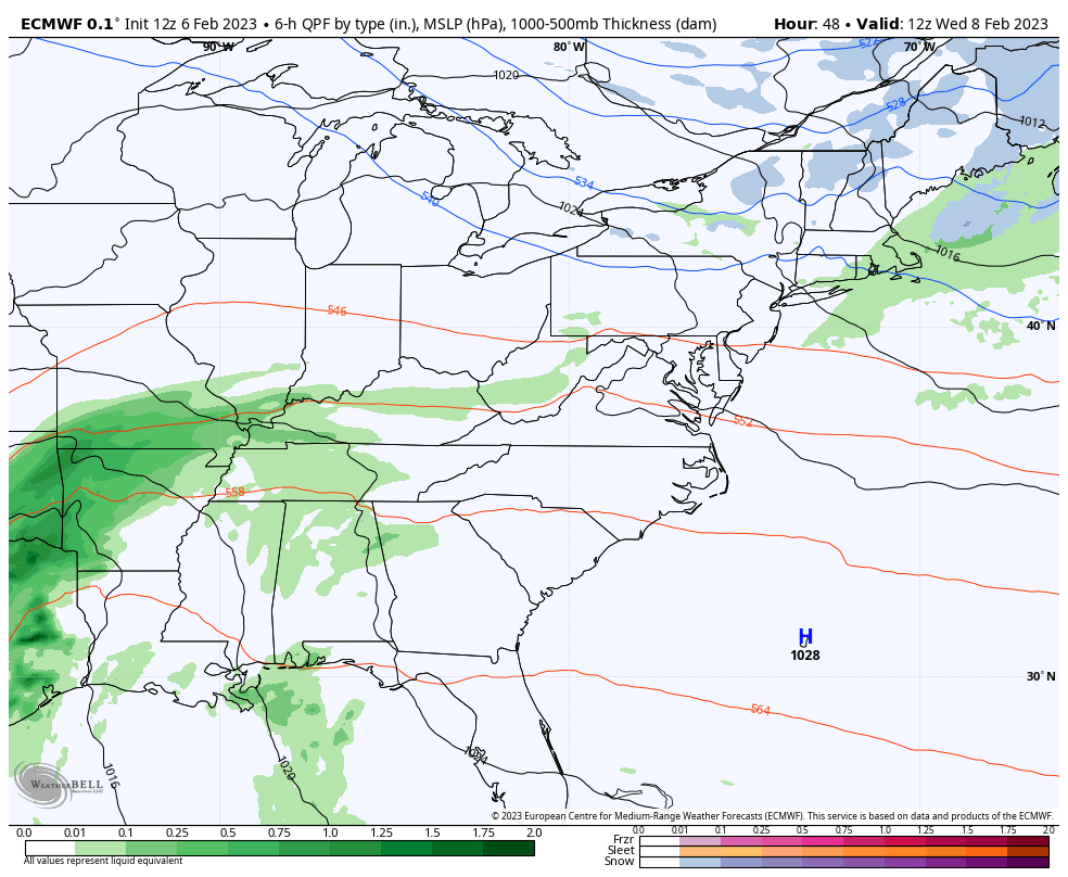
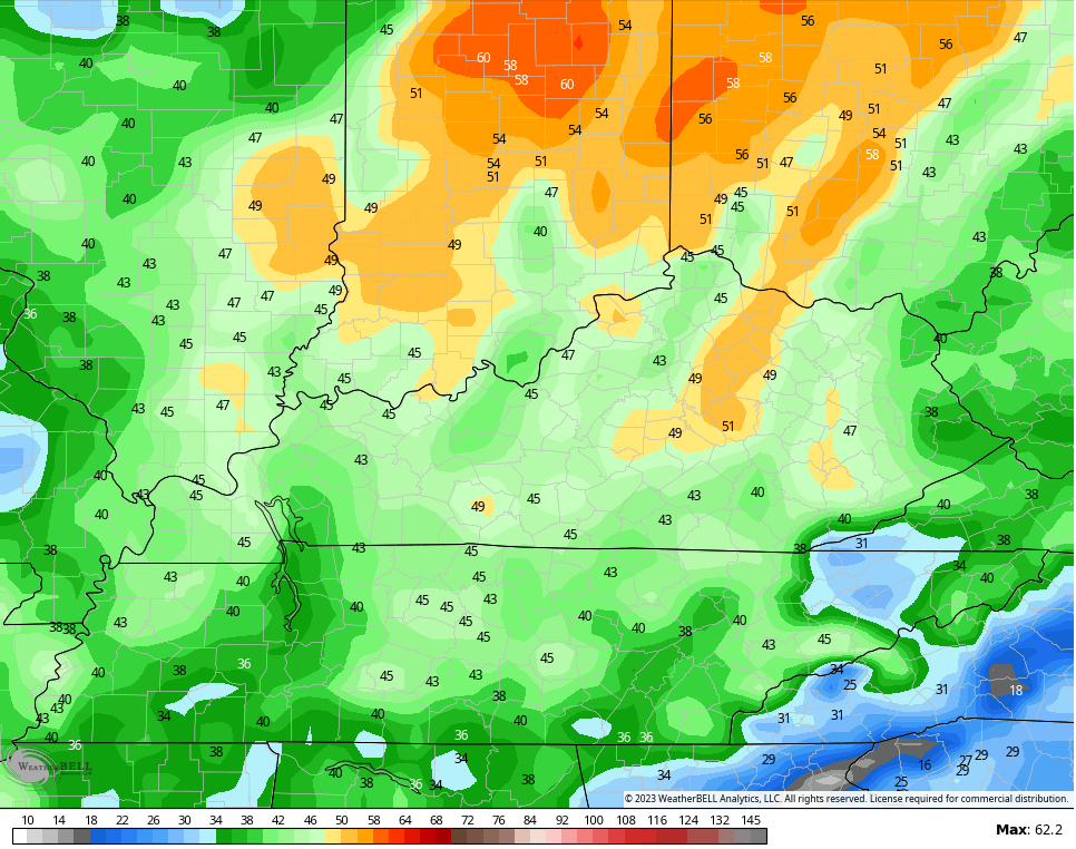
That storm is also going to be a big wind maker Wednesday and early Thursday. The GFS has some crazy wind gusts…

The EURO isn’t as high with the gusts, but it’s not too far behind…
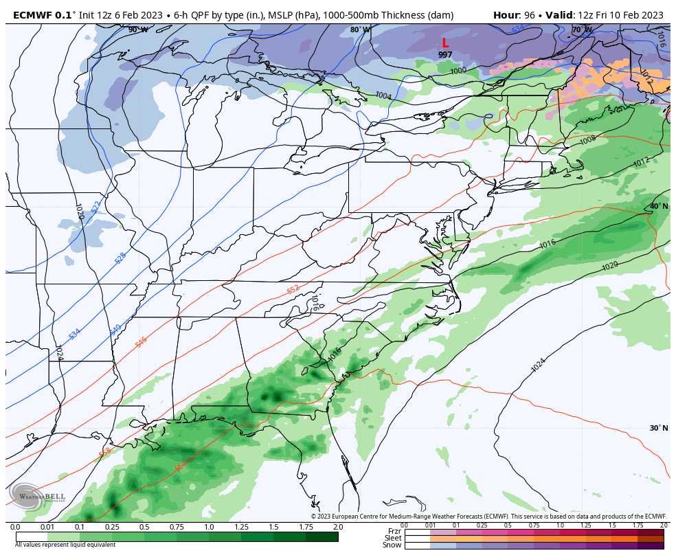
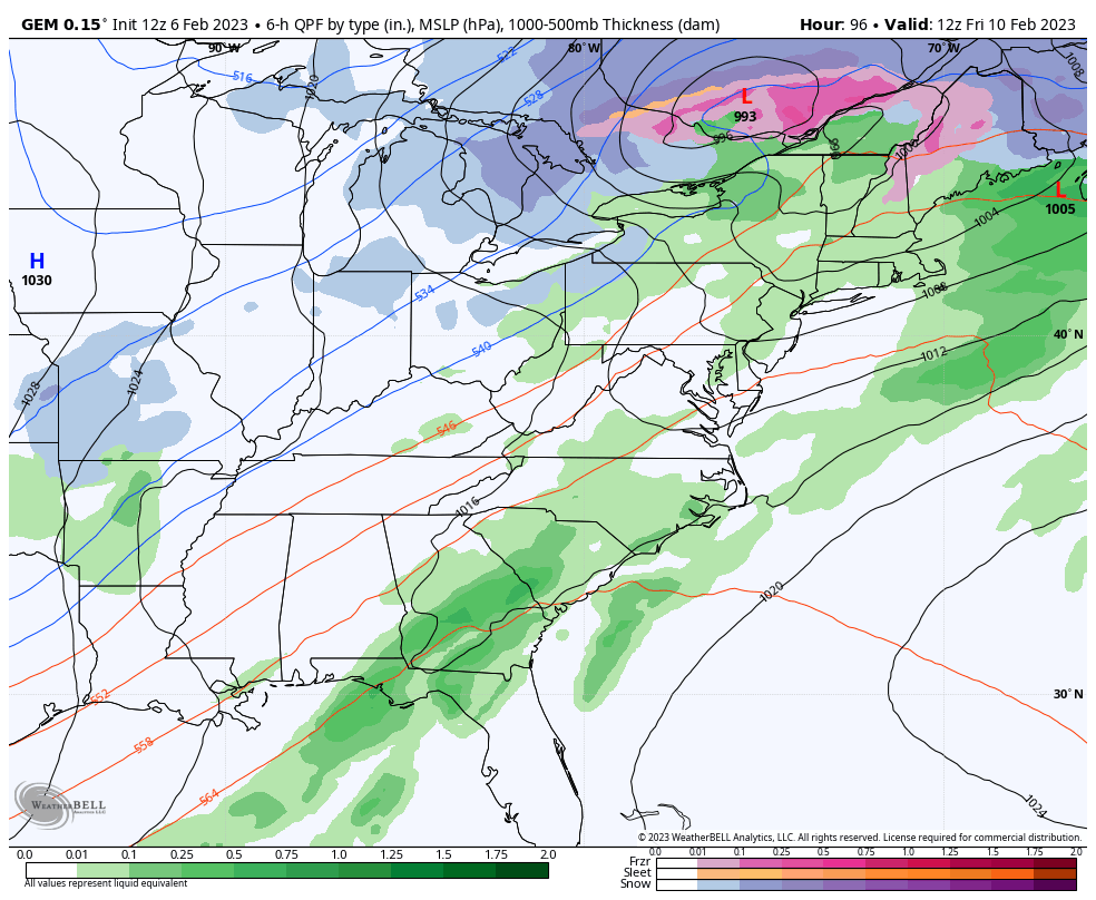
Temps stay mild until the next system comes at us Friday into Saturday. This may drop a little light snow across the region during this time…
GFS

EURO
CANADIAN
That’s just a little speed bump in the milder pattern as the temps surge again early next week.
Enjoy the rest of the day and take care.

RIP winter. If so let’s go team spring!