Good Friday, folks. We are rolling into the final weekend of February on a more normal weather note. This weekend will feature a few showers zipping through here before a much bigger storm system blows in on Monday.
Let’s begin with Friday and roll forward. Temps today are much colder with readings of 40-45 in the north and into the low 50s in the south. Skies will become partly sunny as the day wears on, but the day may start with a few showers in the south.
Here are your radars to follow the early day drops…

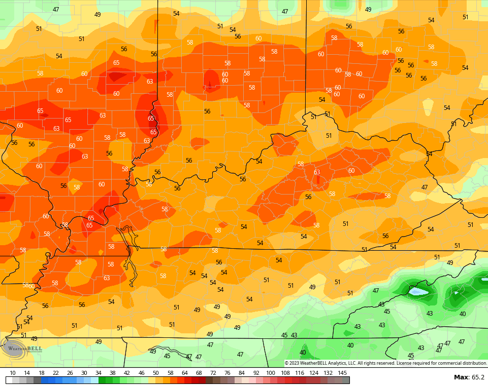
Highs over the weekend will feature mid 40s to mid 50s on Saturday and then 55-60 for many on Sunday.
A few showers will be noted, especially early on Saturday. The greatest chance for some showers is across central and eastern Kentucky..
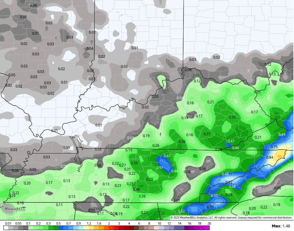
There’s even a small chance for a sleet pellet or two on the northern fringe of that early Saturday. That should be enough for a Winter Storm Threat this winter. 😁
Monday is another active day with high winds and the threat for strong storms. This comes from a major low developing and working from the Mississippi Valley into the Great Lakes…
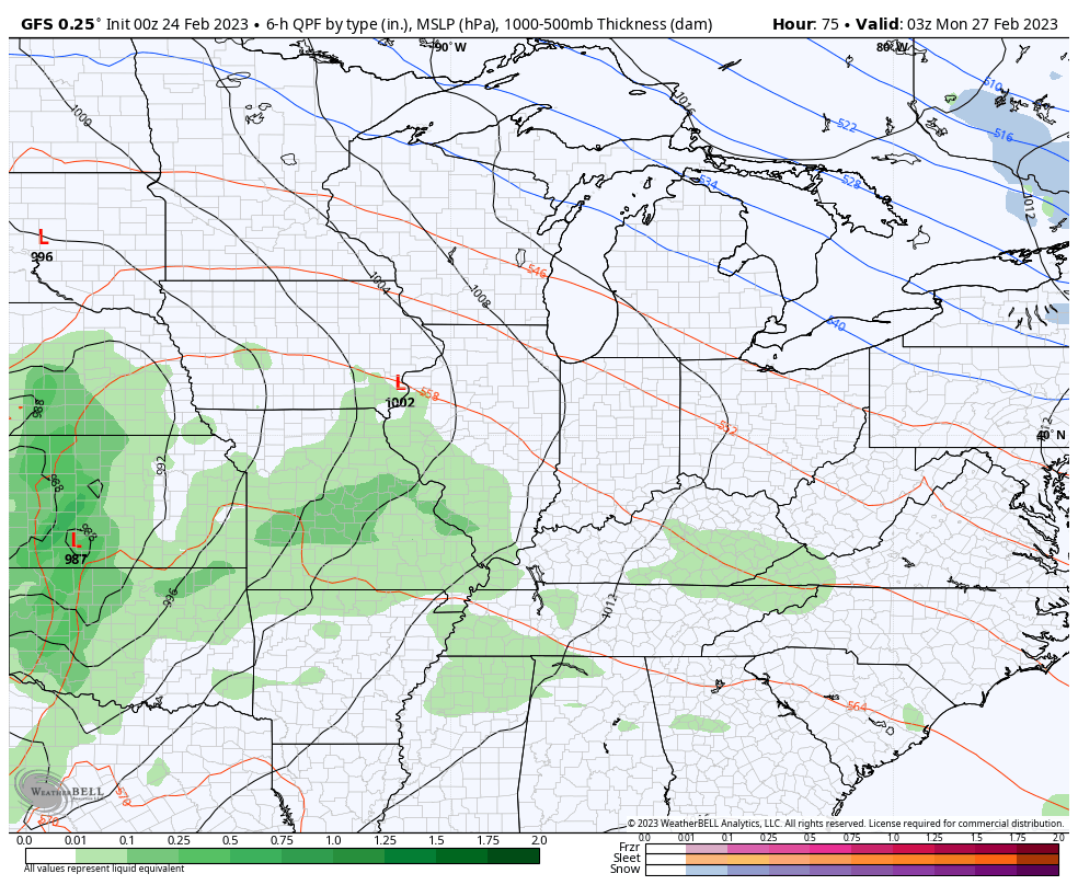
Wind gusts of 50mph or greater will be possible during this time…
Temps bounce back behind this system for the middle of next week. That’s ahead of a complicated scenario by the end of the week into next weekend.
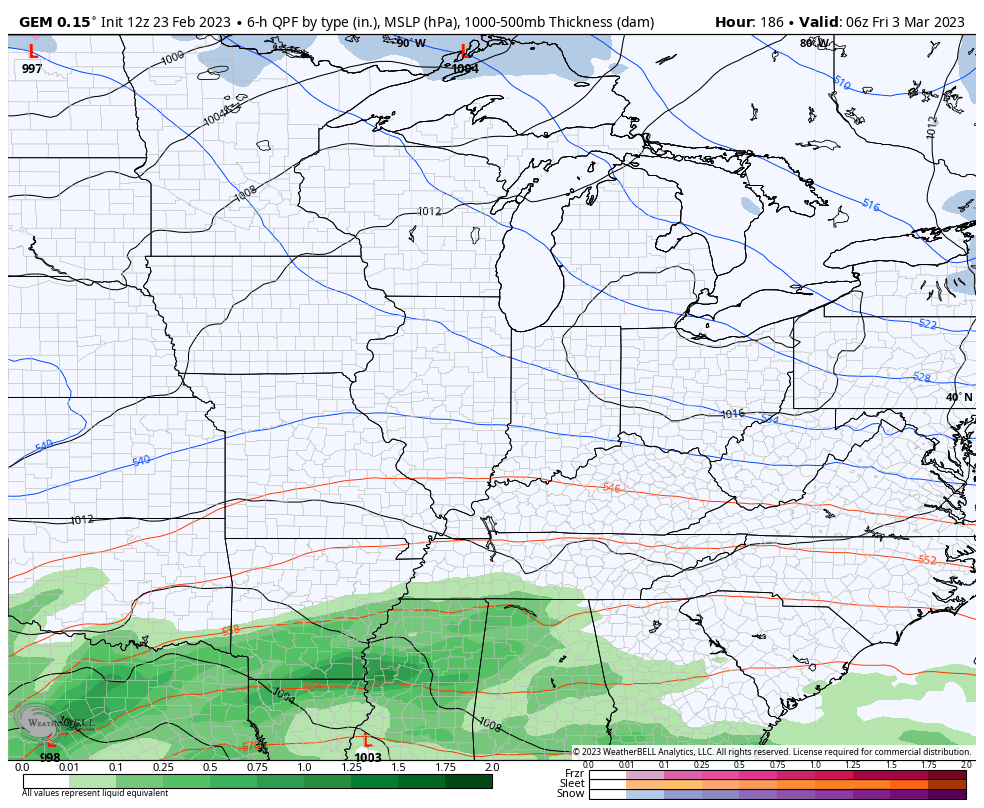
The GFS continues to be a rare friend of the winter weather lover here in Kentucky. The model is adamant on bringing a cold front through here late in the week, forcing a farther south track of a major storm system that follows…
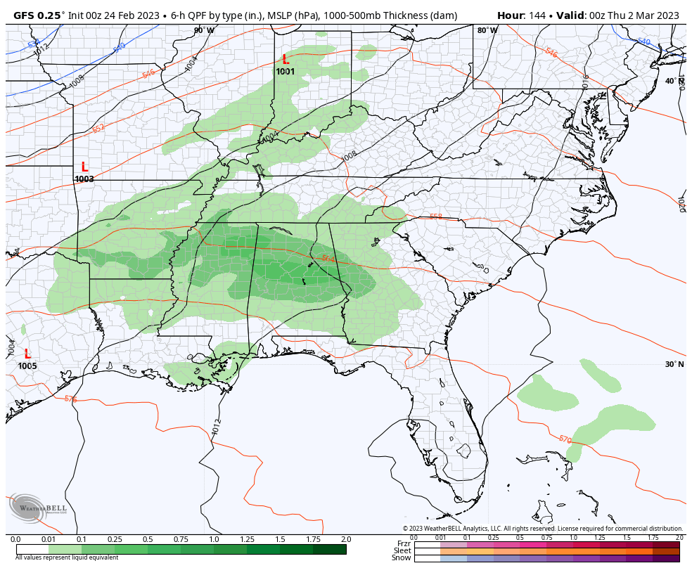
The EURO made a jump toward the GFS idea, but is even farther south with our storm…
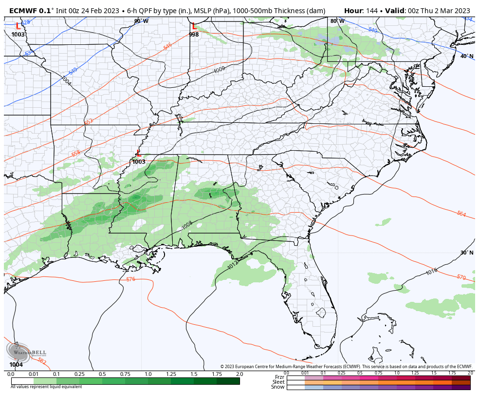
The Canadian Model doesn’t really believe in that Thursday cold front, so it allows that storm to roll right on top of us with only rain and wind…
I will have another update later today. Make it a good one and take care.

Thanks Chris. I think I would have a heart attack if all the weather models agreed on anyone weather event. The GFS shows my area receiving a significant Snow. We’ll see which model is correct.
Schroeder, not only are our daffodils blooming, but our saucer magnolia blossoms started unfolding yesterday. So often they get blasted, but this year they may have a chance to put on a show before the cold arrives next week.
Yeah, In town the Magnolia ( deciduous varieties ) are breaking dormancy. The Magnolia grandiflora in some areas was badly scorch by the brief December Arctic air. Fruit trees will most likely be hurt by a late freeze this year. I’ve always noticed in the past that when Easter is in April our Spring weather is delayed.
Hmm, Festive Flurries season might not be done yet.
It will be cold and frosty when we don’t want it to occur. We have yet to receive any Snow showers or flurries in my area this Winter. Another very uneventful Winter for the books. Total accumulating Snow this Winter in Maple is under 2 inches. Will Mother Nature be adding to this in March ?
Despite the meager snowfall for KY this Winter, many areas of the state, and probably your area too, did have a White Christmas (which is defined as one inch or more of snow on the ground on Christmas Morning).
Mike, I don’t consider 1 inch of Snow on the ground as a White Christmas. When I was living in Indiana in the year 2004 we had 24 inches of Snow on the ground Christmas Morning. If there isn’t enough Snow to make ” Frosty the Snowman ” then it’s not a Christmas Snow.
Where I live now there are no records indicating that Maple, Kentucky has had a White Christmas.
Here is a link for the summary of the heavy rain event and ice storm that occurred over Northern IL on Wednesday, and some pretty amazing photos of ice-covered trees. At the height of the storm, there were 111,000 people without power in far Northern IL where the worst of the ice storm hit.
https://weather.gov/lot/2023feb2223