Good Saturday, everybody. We have two big storm systems to track in the coming days as we look to bookend the upcoming week with active systems. The first one brings high winds and a severe threat. The late week one has a chance to bring winter weather.
Let us focus on the current weekend before we get too far ahead. A few showers are rolling across the state early today, with the greatest concentration across southern Kentucky. There’s even the low chance for a touch of frozen stuff on the northern edge of this.
Here are your radars…

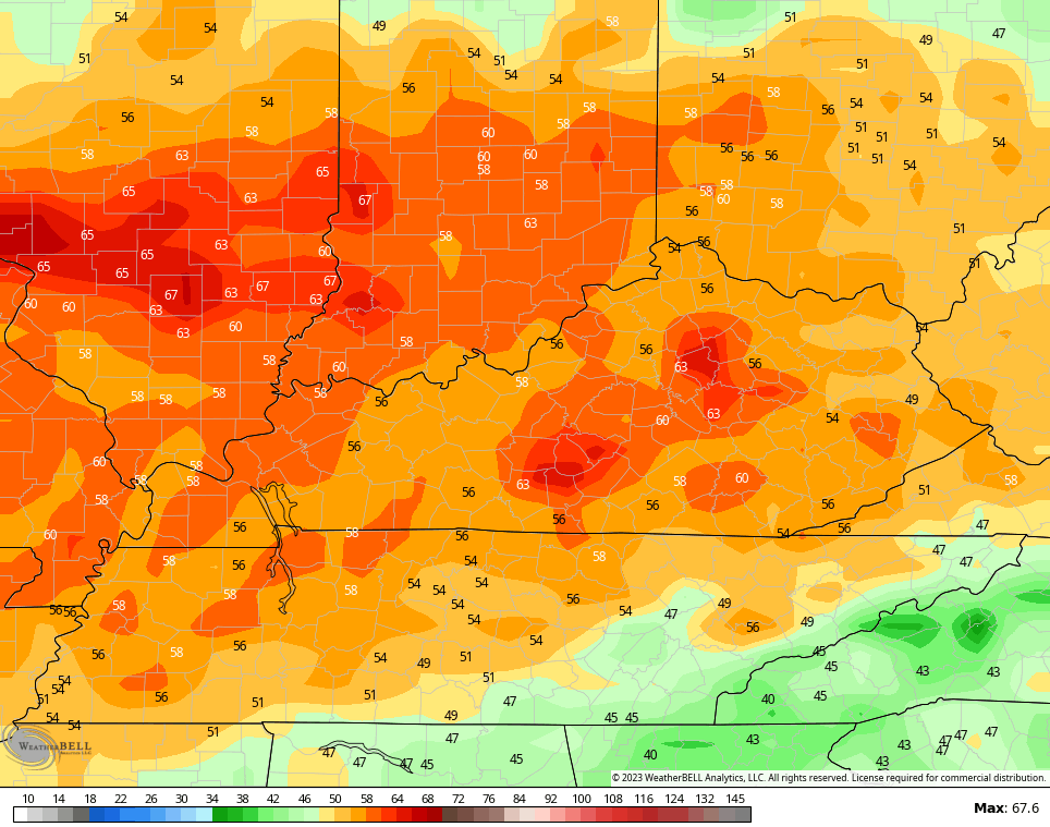
Partly sunny skies take over from north to south this afternoon. Temps range from the upper 40s to middle 50s for highs.
Sunday is a mostly dry day with just the chance for a shower late in the day. Highs will top out 55-60 in most areas and that’s pretty darn nice.
Strong low pressure develops in the Mississippi Valley Monday and heads toward the Great Lakes. Here’s what that means for us:
- High winds are likely. Gusts of 50mph-60mph will be possible.
- Those are non-thunderstorm winds and could cause damage
- A line of strong to severe storms may roll from west to east across the state
- The best threat for severe weather will be in central and eastern Kentucky.
- All modes of severe weather will be possible.
The Storm Prediction Center has our region in the threat zone for severe weather…

Peak wind gusts for Monday are way up there on the models…
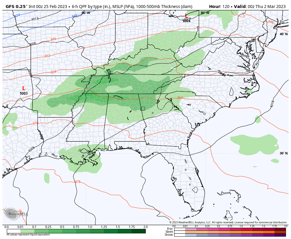
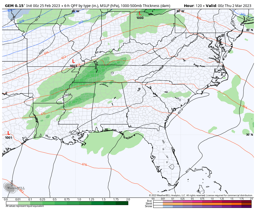
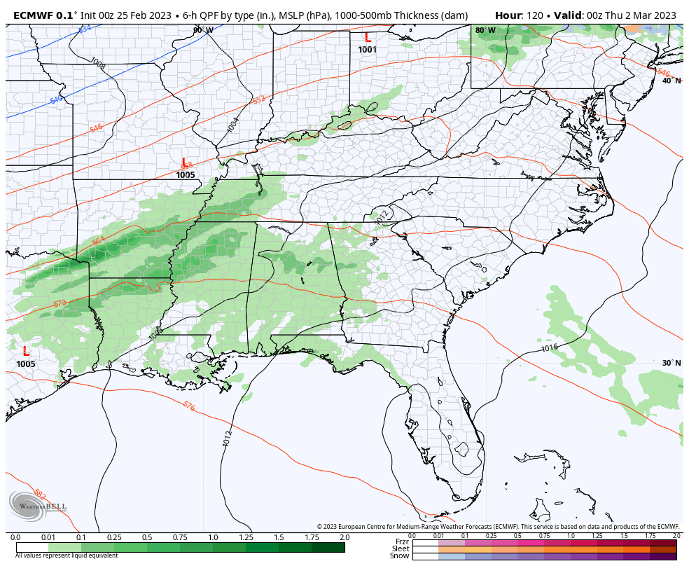
The late week setup continues to feature one system moving through with rain and some thunder by Wednesday night and Thursday. That sets the stage for the follow up, stronger, system to take more of a southern track.
The GFS continues to advertise winter weather with this…
The Canadian is all over the place, but is trying to get to where the GFS is…
The EURO is going in this direction, aslo…
I will have another update later today. Have a good one and take care.

Sorry, you’re too late Winter, I’ve already run the Team Spring flag up the pole, and it’s locked in place!
I haven’t given up on Winter weather until after May first. I’ve seen frost as late as June up in South Central Indiana.
I suppose it’s a bit of wishful thinking Schroeder, but the dominance of the southeast ridge as it exists today, plus a strong west>east jet stream, is keeping most of the polar air locked up. I shouldn’t be rushing things, as I’ve got several weeks more of therapy before they’ll let me pick up a weed-eater! My lilacs have started to pop, and I’m grateful to see a hint of green on the azaleas, which had never gotten browner then they did this Winter!
Let that shoulder heal before you start thinking about spring chores Joe.
I’m wondering if the snow chance will pan out for next weekend.
The Winter sure was crazy. I have a lot of theories and there are many, but I won’t bore anyone by mentioning them. Glad your Azaleas are coming back to life. Bowling Green must be ahead on breaking Spring dormancy. Out here in the county hills of Taylor County it still looks like it did on January first.
About the only way it can snow next week is from dynamic cooling.
Not much cold air to work with, and if it does snow it will need to come down hard to overcome a warm ground.
I wish the winds would take a rest.
If this keeps up I might invest in a windmill. LoL
Correct, Dynamic cooling of the upper layers of the atmosphere produces the best kind of Snow. I remember one with lightning and thunder back in March 1984.
I’m 65 and I don’t remember ever having so many high wind days like we’ve had in Lexington this past month or so.
Same here I don’t remember this much wind in my 71 years. And it’s a weekly event. I’m sure it’s the strong ridge in the southeast along with what’s going on in the Pacific.
I’m 71 as well and growing up on the New Jersey shore, I experienced quite a few nor`easters with near hurricane force winds. This Winter, many of the storms that pulled cold fronts through our area as they moved across the Great Lakes were extremely intense, and on a weather map their tightly packed lines of pressure surrounding the storm’s center resembled nor’easters or hurricanes. Whenever we see those lines tightly packed, the winds will be very strong, even hundreds of miles away.
Also Joe that Southeast Ridge is a factor of resistance. I would always here of the Major Nor’ Easter’s as paralysing the East Coast, but never experience one. My Father and I would take trips to Georgia and all the way up the East Coast back in the early 1970’s. We were on a business trip to a lot of Azalea and Rhododendron nurseries.
Also, when an area is between a strong low pressure and a strong high pressure, that tightens the pressure gradients and will produce strong winds.
System next week will be a cutter like 99.9 % of systems this year..La Niña and SE ridge just to strong..Never seen so many cutters as this winter..Could of been a good snow year if any type of blocking showed up..
Yes, it could have been a great Snowy Winter. La Nina’s are know to produce such. An example 1917 – 18 Winter.
My theory, the Pacific is colder than the Atlantic because a Polar shift. Blizzards occurring in the mountains of Southern California. Never before this has happened.