Good evening, folks. We continue to track rounds of heavy rain producing thunderstorms across the region. Some of these storms may turn severe overnight with gusty winds to follow through Saturday.
The Storm Prediction Center continues with a Marginal Risk for severe storms across the north and east, a Slight Risk for parts of central Kentucky and the Enhanced Risk in the west…

Damaging winds will be possible as a squall line races from west to east from late evening through early Saturday morning. Western Kentucky has the chance to see a few tornadoes from these storms.
These storms may also put down a quick 1″-3″ of rain and that will be falling on saturated ground. This leads to an increased risk for flooding and flash flooding.
In addition to the damaging wind threat along the squall line, winds of 50mph or greater may show up Saturday. That comes with a mix of sun and clouds as our low pressure wraps up to the north.
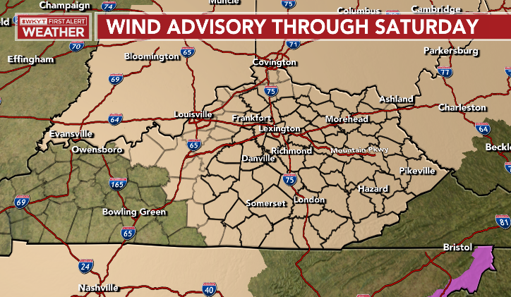
A Wind Advisory is now out for most of central and eastern Kentucky…
I will have the latest on WKYT-TV. As always, I leave you with your severe weather tracking tools…

Current watches

Possible Watch Areas

Enjoy the rest of the evening and take care.
