Good Saturday to one and all. A line of strong to severe storms exits eastern Kentucky early this morning and will be followed by another big blast of wind. Once this moves through, things calm down for a bit, but the active pattern won’t stay away too long.
As mentioned, a squall line of strong to severe storms is racing across the eastern half of the state before daybreak. Here are your radars to follow this out of town…

With low pressure strengthening to our north, winds are going to absolutely crank today across central and eastern Kentucky. Those gusts may top 50mph at times and could cause some damage. Those winds may even come while the sun is shining. This won’t be anywhere near as strong as what happened earlier this month, but the setup isn’t too dissimilar.
Sunday looks good with temps in the 60s with a mix of sun and clouds. Those clouds will increase ahead of another system working into the region by Monday and early Tuesday. That will bring the chance for a shower or storm with much colder air crashing in behind it…

Lows reach the 20s by the middle of the week.
Those numbers bounce back fairly quickly ahead of a much bigger storm system rolling through the Plains States by Friday and Saturday. That brings rounds of showers and strong storms back in here…

That could very well become another severe threat for our region.
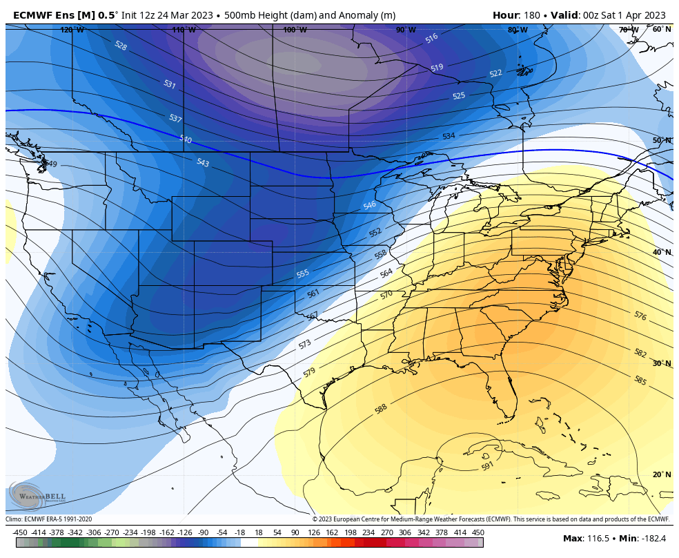
The trend behind this should be for a period of colder then normal air to start April, but the various ensembles are cranking a ridge with milder air set to follow that…
The back and forth pattern is likely locked in for April and my fear is it’s upping the ante on severe weather events.
Enjoy your Saturday and take care.

Having heavy rain and wind.
Nothing here just a few rumbles of thunder and 1.86 inches of needed rain. Might be a windy day however ?