Good Sunday to one and all. Today is a really nice one as we get set to close out the last weekend of March. This nice weather gives way to changes for the week ahead as our temps bounce around like a ping pong ball.
Let’s begin with the good stuff and that’s what’s going on today. Highs are deep into the 60s with mostly sunny skies and not a lot of wind. The “not a lot of wind” part of the forecast deserves to be Breaking News at this point.
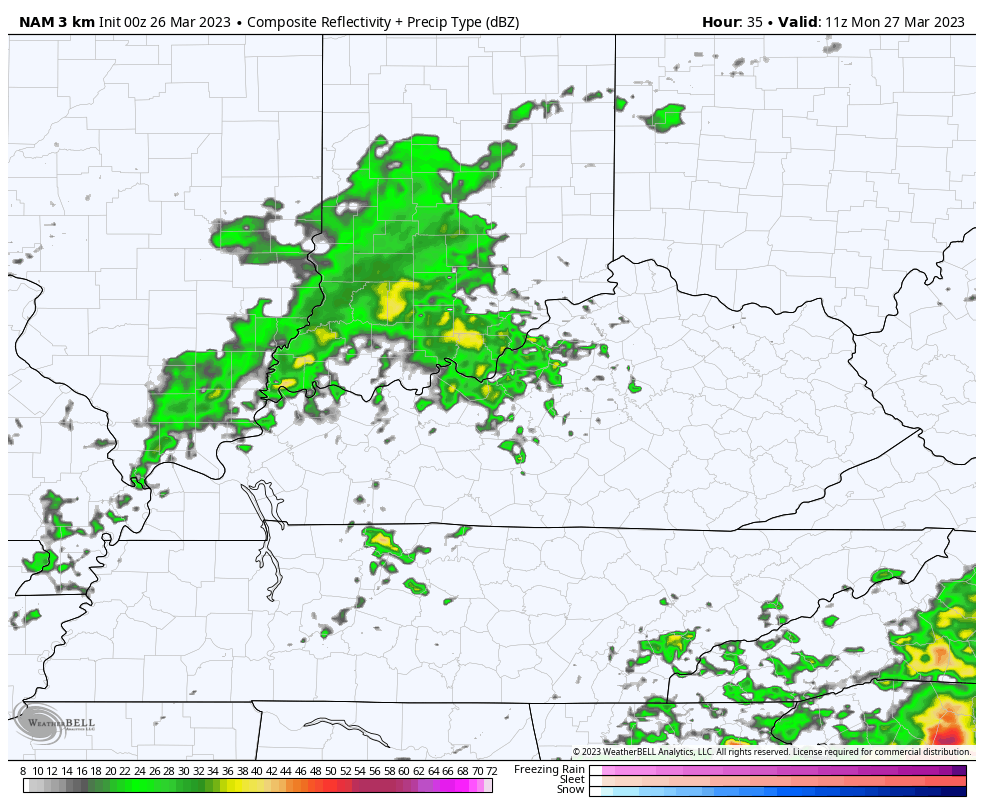
Clouds increase this evening ahead of a weak system pushing in here for Monday. This brings the chance for a few showers in here to start the week. I can’t rule out a rumble of thunder with some of this. Here’s the Future Radar from 7am Monday through 7am Tuesday…
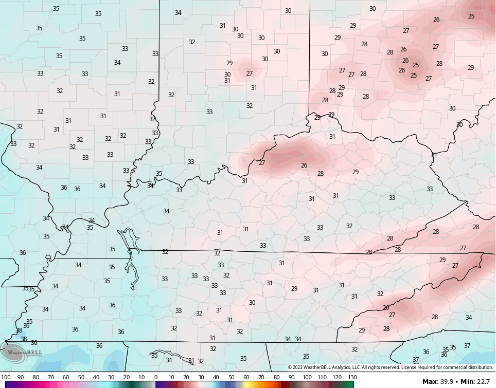
Chilly winds blow behind this system for Tuesday and Wednesday. Lows by Wednesday morning may drop into the 20s…
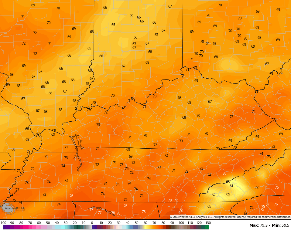
Temps start to bounce back by Thursday and then may reach the 70s by Friday and Saturday…
This is ahead of a potent storm system that will bring the threat for showers and storms in here for the last day of March into the first day of April…
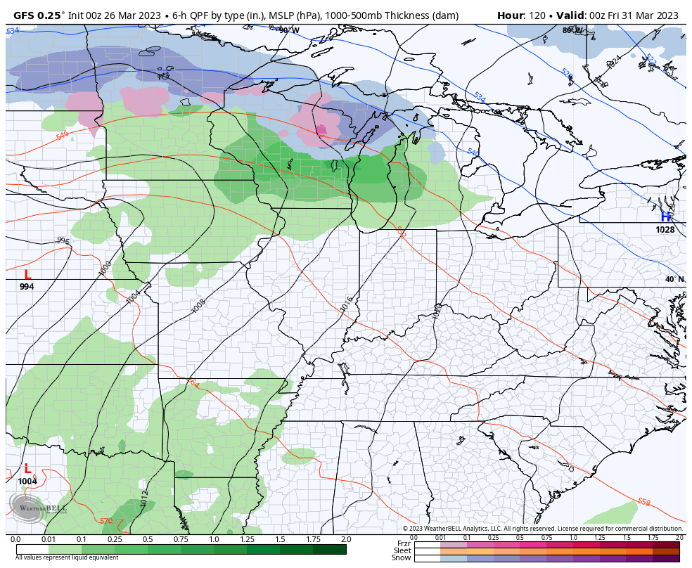
That’s a setup that could give us another round of strong to severe storms and more gusty winds.
There’s another one likely to follow that up a few days later…
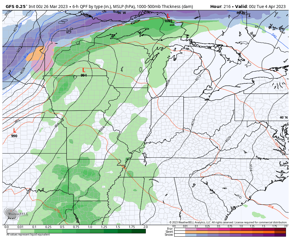
This is part of the severe weather pattern I’ve been yapping about for a few weeks now. The back and forth temps combining with that warmer than normal Gulf of Mexico water I posted about last week can make for some nasty setups.
Have a sensational Sunday and take care.

“March going out like a Lion. “