Good evening, folks. A dangerous severe weather scenario us unfolding to our west today and some of this will try to get into the region on Wednesday. That’s when our severe weather risk increases across Kentucky.
As expected, the severe storms threat today is well to the west of Kentucky. Some of the same areas that were devastated by severe storms and tornadoes on Friday are facing a similar threat through tonight.
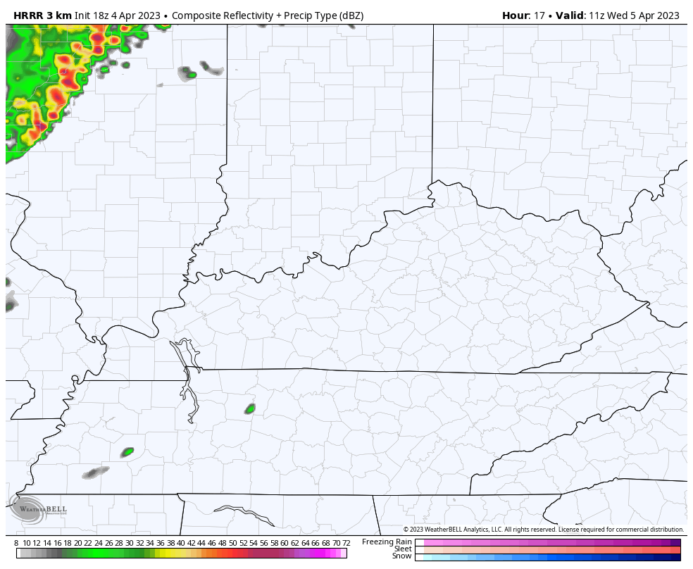
The Storm Prediction Center continues to indicate the low-end risk getting into far western Kentucky tonight…

The majority of the severe weather risk waits until Wednesday and that’s when an Enhanced Risk for severe weather is out for much of Kentucky…

The damaging wind risk continues to be the greatest threat we are facing…

The tornado threat is also there, but it’s a much lower risk than the damaging wind potential…

The Future Radar from the HRRR shows the greatest risk coming during the afternoon and evening…
The same run of the HRRR indicates the potential for a few rotating storms. You can see the tracks of those possible rotating storms on this map…

This line of storms will lose severe weather steam into Wednesday night, but it may slow down and produce a swath of heavy rain in a narrow corridor. The best chance of this is across the south central and southeastern parts of the state.
Here are your storm tracking tools to watch the severe stuff getting close to us from the west…

Current watches

Possible Watch Areas

Make it a terrific Tuesday evening and take care.

Wow says temperature is now 85. I hope we don’t get really bad storms. Tomorrow it seems will be worst. Stay safe everyone and weather aware.
Thanks Chris. It’s a humid 81 degrees currently here in Maple. The dewpoint reading well into the 60’s. Different feeling in the air from the past Storms. If we get through this event Okay I think the weekly stormiest will subside as the contrasting temperatures stabilize along the West Coast I hope.
Additional information from the NWS :
https://www.weather.gov/media/lmk/DssPacket.pdf
As long the cold air is still hanging up north of us. These storms will continue to be a a threat to us. The southeast high needs to push the cold air further up north to Canada