Good Sunday, folks. It’s another toasty day out there as we track a little bit of Canadian wildfire smoke in our skies and that will be joined by a storm or two. As we head into the first full week of June, we have a massive weather change on the way as our temps trend back to much cooler than normal.
Let’s start with the smoke showing up for the next few days. This continues to come from wildfires burning way up in Canada. This is following the upper level flow and it’s taking the scenic route into Kentucky by going east then diving south across the northeast and the Great Lakes. From there, it drops into Kentucky from the north and northeast.
This animation shows the thickening smoke through Monday…
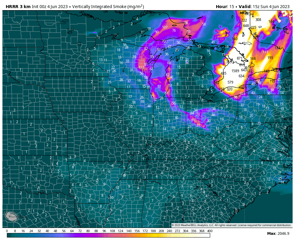
That smoke is at very high altitudes and it will show up in the form of a milky sky.
Something else working through from northeast to southwest today will be some scattered showers and storms. Again, scattered is the operative word. Your radars are here to keep you company…

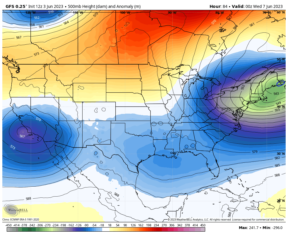
Temps start to come down a bit on Monday and then even more for Tuesday. That’s when a backdoor cold front arrives from northeast to southwest. This will be accompanied by a scattered shower or thunderstorm as much cooler winds kick in for the rest of the week. That’s when this deep trough in the east starts to flex toward the west and hangs around long enough for another deep trough next weekend into early the following week.
The models continue to be in really good agreement on this…
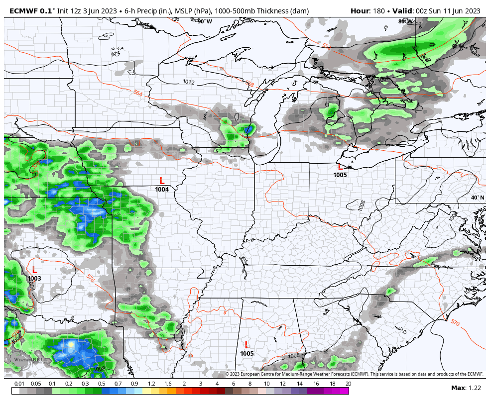
GFS
EURO
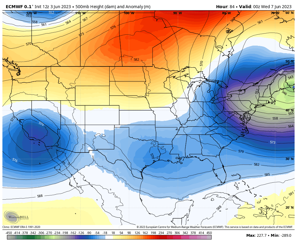
This first trough can give us a few days with highs in the 70s for the middle and end of the week. Lows may reach the 40s across central and eastern Kentucky for a morning or two.
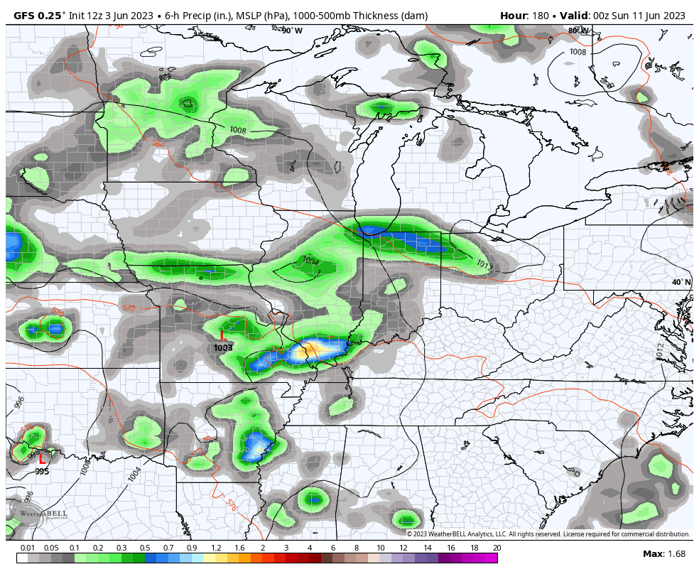
The second trough by next weekend may be accompanied by a storm system that can bring some needed rains in here.
The GFS is the most bullish on rain and storms with this…
The EURO is trending that way…
I’ll be watching to see if this system goes full-blown cut off from the main flow. If that happens, it can get really damp and cool for a spell.
Enjoy your Sunday and take care.

Thanks Chris. The smoky, hazy skies will really enhance the colors in our Sunrises and Sunsets. Looking forward to all the great photos on the twitter feed. Looking like we may resume our usual west to east flow after the next backdoor cold front influence is over.