Good Saturday, folks. If it’s a weekend it must mean thunderstorms in Kentucky! We have additional rounds of storms rolling across the state and some of these could be strong to severe, and put down torrential rains. Sound familiar?
I don’t anticipate these storms being nearly as powerful as the storms of the past few weeks but that doesn’t mean we can’t have some issues.
Storms fire up in western Kentucky early today with the greatest storm threat developing there this afternoon and rolling to the east. That complex of storms could bring some local high winds and hail.
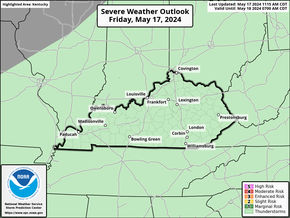
For that reason, the Storm Prediction Center has a Marginal Risk to Slight Risk out for much of the state today…

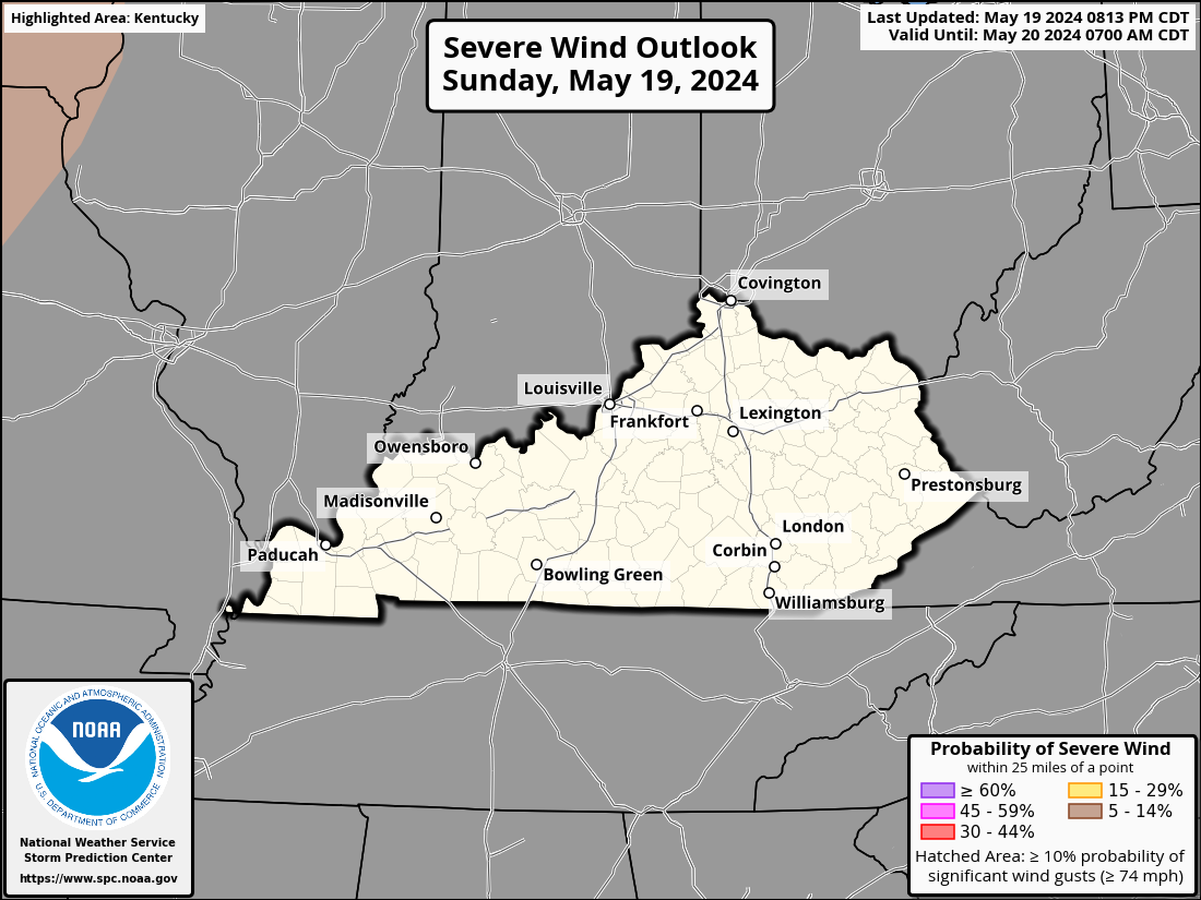
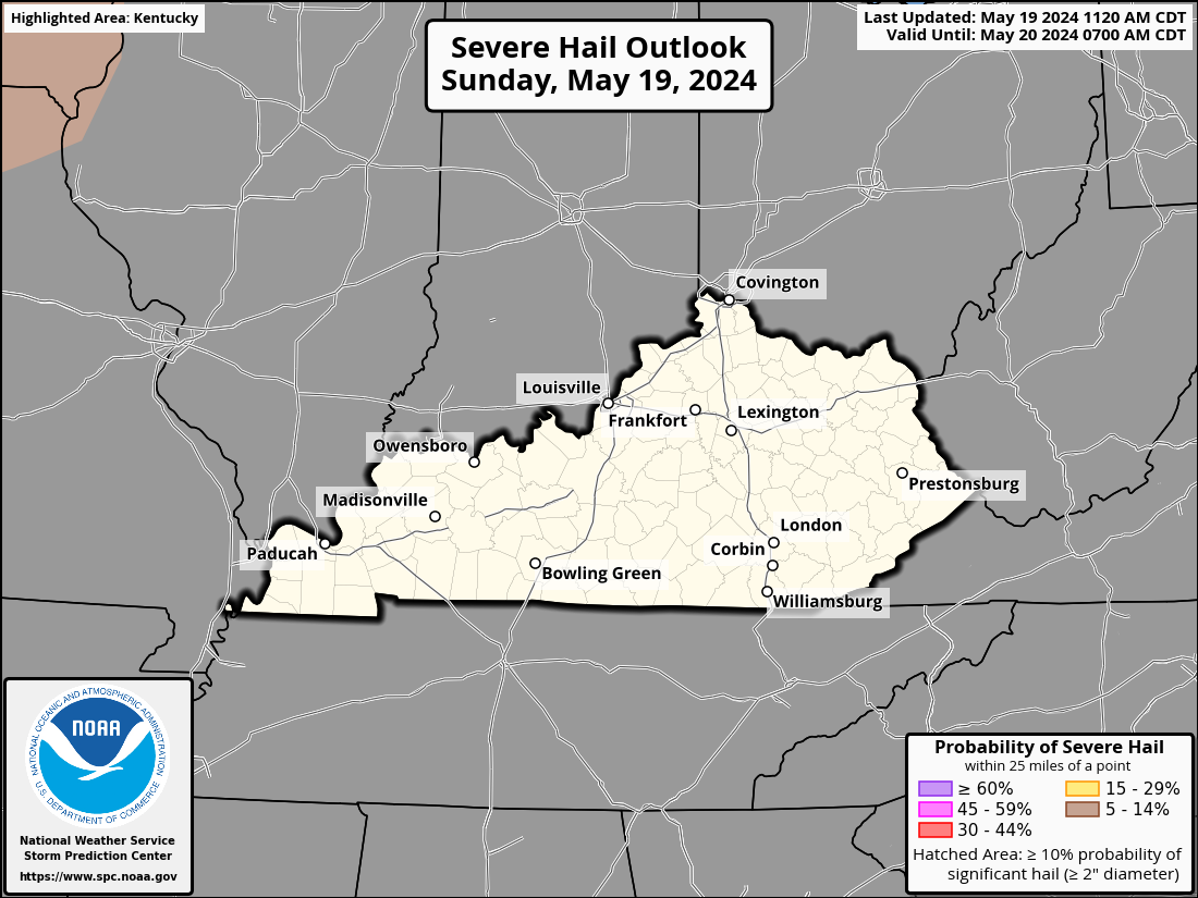
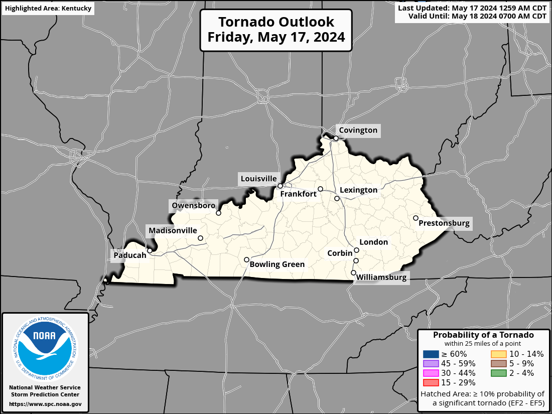
Here’s your breakdown of the individual threats for the day…
DAMAGING WIND

LARGE HAIL

TORNADO THREAT

These storms may also put down enough rain to cause local flash flooding for some areas, so keep that in mind.
A lower end risk will then be noted across eastern Kentucky on Sunday…

Some really nice weather then blows in for Monday and Tuesday. That’s ahead of a few more systems on the way for the end of the week into next weekend. Those will bring additional waves of showers and storms back in here…
EURO
CANADIAN
This setup could once again lead to some stronger storms and torrential rains. It’s a setup that we have to keep a close eye on as this stormier than normal and wetter than normal summer rolls on.
Don’t forget all the ways you can follow your friendly weatherdude on social media..
Twitter: https://twitter.com/Kentuckyweather
Threads: https://www.threads.net/@kentuckyweather
Facebook: https://www.facebook.com/ChrisBaileyWKYT
Instagram: https://www.instagram.com/kentuckyweather/
YouTube: https://youtube.com/@Kentuckyweather
I will update as needed today so check back. Until then, I leave you with your storm tracking tools…


Has anyone heard about the dust storm that was headed this way?? I saw something about it. What’s next lol? Years ago I saw a dust storm in Las Vegas interesting never seen one before..
Yes, the Saharan Dust Cloud is heading for Florida this weekend and could effect some Southern states as it moves North. This occurred in 2020 and hindered Hurricane development until later in the season. I wish it would happen over the entire Atlantic and Gulf of Mexico to cool off the extremely warm waters and this would help EL Nino’s development in the Pacific. Our only chance for Snowstorms this coming Winter.
That’s interesting. I hope we have some snow this winter.
Thanks Chris. We could use some showers, but not flooding rains. I always thought that a 50 /50 chance was out there for any kind of weather type.
The Saharan dust is nothing new it happens every year. It’s part of mother nature that’s been going on for years.
I didn’t know that thanks.
I still would like to know why the Atlantic and the Gulf have been warming up over the past several years. It’s not the ridiculous ” Climate Change ” politics, but a natural change in the short term Earth cycle. A short term Earth cycle could last hundreds of years.
There is nothing ridiculous about climate change. I wish people would stop politicizing and pay attention to the science, because there are decades worth of data, which prove that what we’re experiencing today is extraordinary. It’s not right vs. left or red vs. blue!
Then explain to me why the so call scientists were saying that were heading for ice age back in the 60″s and 70″s.
Decades ? Go back about a 1000 years and see what the climate was and compare it to today’s climate. No one knows. We are in a short term Earth Cycle that has been going on for centuries. Will it ever change ? Again no one knows. We may have an El Nino Fall and Winter if the Atlantic ocean cool significantly. At the present it’s not, so we may have an ENSO / neutral Fall and Winter. Don’t know and NOAA doesn’t know. Another wait and see game.
Earth Cycles. Just like the Sun and Moon Phases. It’s all connected and created by God.