Good Sunday, everyone. We have a very steamy day in the Bluegrass state as a few more thunderstorms rolling through here. These storms will become widespread later tonight and Monday with the increasing potential for a few strong to severe storms. This will be followed up by a blast of September air.
The setup is nothing like what we should be seeing for this time of year and we’ve said that for much of the summer. Tame temps have ruled the season and will continue to do so for the most part.
Low pressure is working into the region over the next few days and will wrap up across the Ohio Valley and Great Lakes. Rounds of big boomers will be ongoing along and ahead of this with wraparound clouds and showers coming in behind it on a very cool northwest flow on Tuesday. How many times have we talked about wrap around showers and clouds this summer? Several, actually and that’s very out of the ordinary.
Here’s the setup for the next few days…
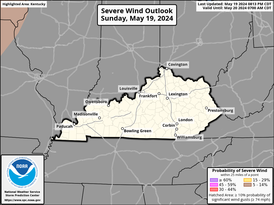
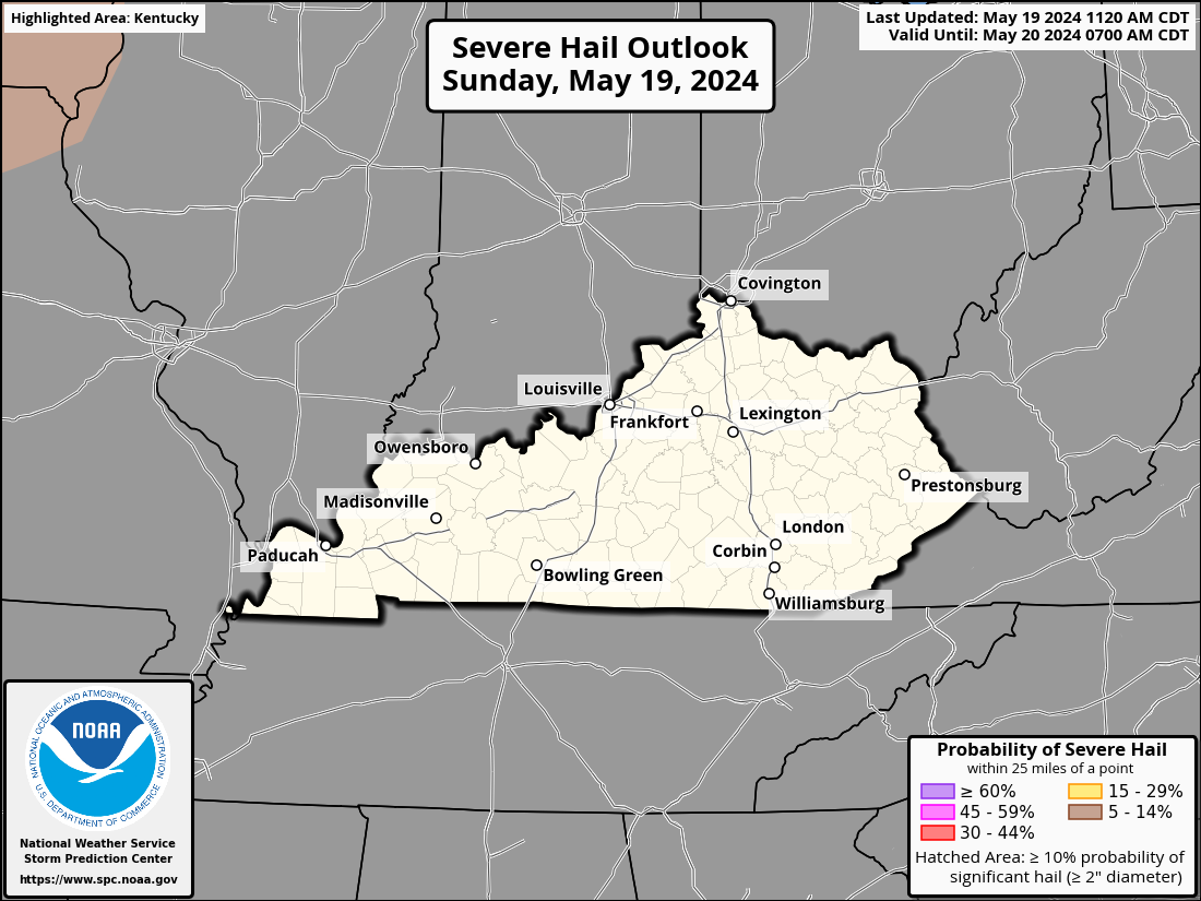
The Storm Prediction Center has a Marginal to Slight Risk for severe storms for much of our region today into this evening. Here’s a look at today’s Severe Weather Outlook…

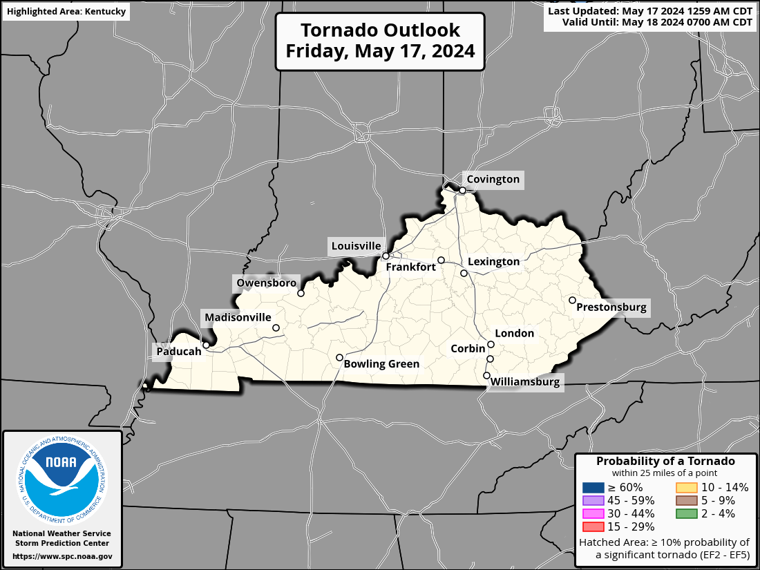
Damaging wind and large hail are the main threats but the tornado threat is a bit increased across western Kentucky…
DAMAGING WIND

LARGE HAIL

TORNADO THREAT

As mentioned, the threat for severe weather increases overnight and into Monday and the Storm Prediction Center reflects this with a wider swath of real estate covered in Monday’s Severe Weather Outlook…

Here are the severe threats for your Monday…
DAMAGING WIND

LARGE HAIL

TORNADO THREAT

Torrential rains will also possible with these storms through Monday. Local flash flooding issues will be possible.
Tuesday is a very cool day with northwest winds, clouds and some showers. Temps stay in the 70s with lows in the 50s. Wednesday looks amazing with mid 50s to start and upper 70s and low 80s with low humidity and sunny skies.
Our next cold front moves in late Thursday with a band of showers and storms with the chance for a few wraparound showers behind it early Friday…
Temps come down behind that front to start next weekend. Overall, it looks REALLY good for the opening of the high school football season.
Temps will likely bounce back quickly by the end of next weekend into early the following week as heat makes another run at us. A huge ridge of high pressure will move our way and likely bring a few days of hot and humid weather. Just like every other time this summer and recent summers, the core of the heat stays away from us…
The Plains into the Great Lakes will roast for a bit in this kind of setup but this won’t last. The pattern will soon revert back to trough in the east with the heat heading back toward the west later in the week…
I will drop by for another update if needed later today. Until then, here are your Sunday severe storm tracking tools…


Thanks Chris. I still conclude that the cold patch off the West Coast is a big player in the La Nina like weather pattern we experience this Summer. Hopefully, we will have more of an ” El Nino like pattern ” late this Fall ? A colder and drier pattern that would indicate a Snowy Winter.
I would expect an uptick in Tropical Cyclone activity later in the month into September.
when a pattern sticks it REALLY sticks… Notice how the storm track seems to stay almost the same? Missouri sliding down through the lower 1/2 of KY and down into TN
Agree, Mark. Made a trip to Middle Tennessee last week and we could not recall a time in which everything was so green in mid-August. And we grew up in Tennessee!
Precipitation patterns always follows the northern and eastern edge of the high pressure ridge. Next week we may be in the ridge if it progresses east. Means hot and humid weather with descending air and no precipitation.
Don’t fear. This pattern won’t stick much longer. Summer has not really been tame.
It looks like Tues&Wed. are going to be about best you can get for August. Mowing gra$$ with temps in the 70s. If somebody had told me this a few months ago, I would of had them institutionalized in Bellevue.
Just a rare occasion when the “ensembles” verified.
Then in a few days after the predicted pleasant weather at mid-week : ” THE HEAT IS ON “
Looks like the best heat we had was back in late July, this one coming is going to be short live. Fall is around the corner can’t wait my favorite time of year
I’ve seen 90s close to 100 in September so we’ll see.
Jeff, just looked at the extended outlook for Maple and it indicates a Heat Wave the last half of this month 100 + degrees. I remember letting us out of School in mid- September because of a Heat Wave. I think it was September 1962. Don’t know for sure.
Might have been a GFS forecast.
Here’s a link to Maple extended outlook. Don’t really know the model they use, probably GFS. Look how high the temperatures they are predicting.
https://www.ventusky.com/37.4641667;-85.5022222