Good Monday, everyone. Our week is starting off with booming thunderstorms rolling across the state and some of these may be strong or severe. These storms are ahead of a September cold front that ushers in some awesome temps for the rest of the week.
Storms today come at us in waves from west to east and will bring a low-end severe threat to the region. The Storm Prediction Center continues to show a Marginal Risk to Slight Risk for much of the state…

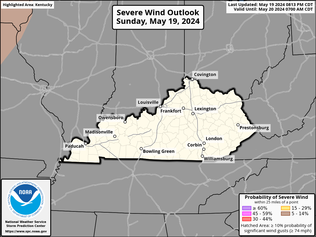
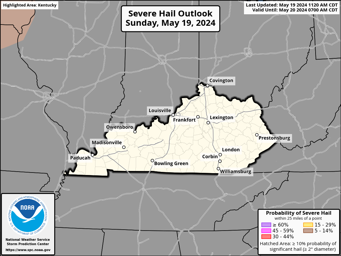
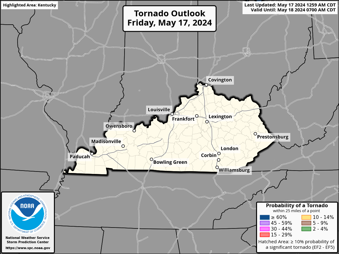
Damaging wind and large hail are the main threats but the tornado threat is a bit increased across western Kentucky…
DAMAGING WIND

LARGE HAIL

TORNADO THREAT

Locally heavy rains will also be possible and this may cause local high water concerns.
The big news coming behind this system is the blast of September air. This is one deep trough for the middle of August…
That’s a very cool northwest wind kicking in tonight and Tuesday. Highs on Tuesday may not get out of the low and middle 70s in the north with mid and upper 70s elsewhere across the state.
Those same northwest wind will also bring wraparound clouds and scattered showers in here…
Lows by Wednesday and Thursday are deep into the 50s in many areas. There’s even an outside chance for a few of the cool valleys to reach the upper 40s. Highs Wednesday are mainly 75-80 with upper 70s and low 80s Thursday ahead of another cold front. This arrives Thursday night with a broken line of showers and storms and brings another shot of below normal temps by Friday into the weekend…
That lifts out and allows heat to make a run at us by early the following week. This likely hangs around a few days before it gets pushed back to the west and southwest.
We are also entering the prime time for the tropics and I do expect a massive surge in development over the next few weeks. The National Hurricane Center is watching a couple of systems well out into the Atlantic…

I will have the latest on WKYT-TV as needed today. Here are your Monday storm tracking tools…


Plz… Not a heat wave…
I think I would HATE living in TX, OK where their entire summer is mid 90s to 100 every single day.
That’s a “tame” summer for those places. 😉
It’s not fun lol Add drought conditions and it’s miserable. It gets hot enough the asphalt on the roads melt.
It’s definitely trending hotter after the 21st. The GFS has had the ” phantom Heat Wave ” out for sometime now. This morning the GFS had Maple at a high of 106 degrees, not just one day either. Yesterday they were forecasting 111 degrees. How are they going to correct the corruption ? This is a travesty going on inside the government of our Country just to get this stupid Climate Change package through, and it’s really wearing thin with everyone that cares about the Country.
no habla GFS anymore
Yes, silence the GFS model now until they can provide a believable long term forecast, or just ignore any ridiculous rhetoric the model displays.