Good Thursday, folks. Our day is starting frigid but things are slowly starting to look and feel better. Temps come up over the next few days and this bodes well for the upcoming weekend. Beyond that, changes show up into next week as the pattern turns much more active with colder temps returning.
This arctic blast helped make the start of November rather historic… With an asterisk. November started with the largest snow cover on record for the lower 48 with 17.9% of the lower 48 starting the month with snow on the ground…
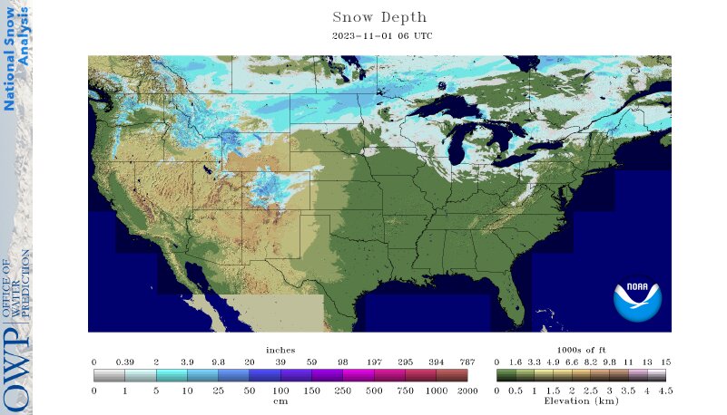
That’s impressive, but NOAA only started tracking such a stat back in 2003. Still, this is the largest snow cover in at least 20 years, so that has to mean something, right? For perspective, last year only around 3% of the lower 48 had snow cover to start November. 🤔
Temps are deep into the 20s this morning with afternoon temps back into the upper 40s and low 50s east to low and mid 50s west.
The numbers continue to jump with 60-65 for Friday and 60s areawide for Saturday. Skies look to be in good shape, making for a great opportunity to get out there and put up those Christmas lights. You don’t have to plug them in, yet. 😜
A few clouds roll in late Saturday with the slight chance for a shower or two to show up by Sunday.
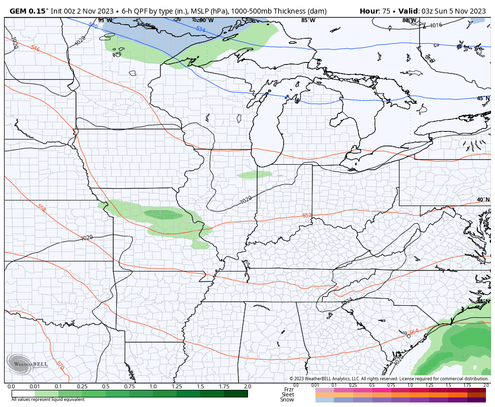
Temps early next week are still very mild as the timing of our next system gets pushed a little deeper into the week. The models are still struggling to figure out which systems to key on, but the Canadian, just like with the recent system, seems to have the best consistency…
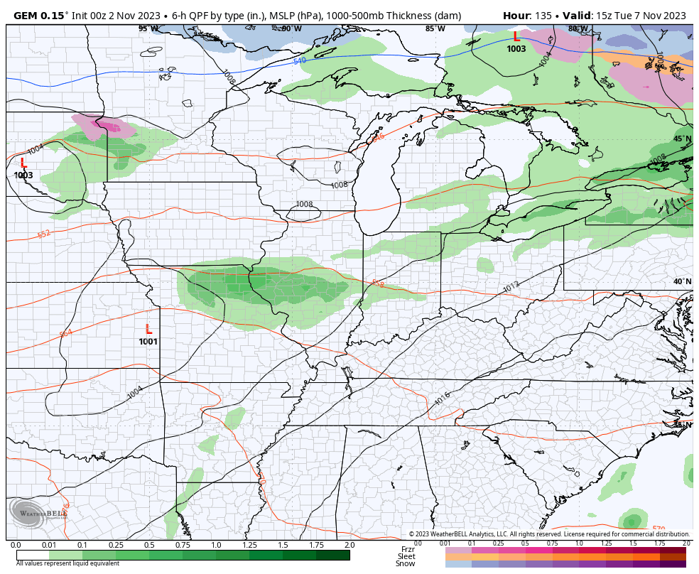
Again, the arrival time of the colder than normal temps is pushed more toward the second half of next week…
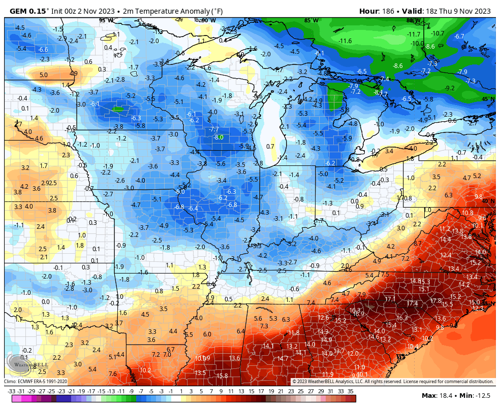
In looking down the road through November, I’m seeing a lot of back and forth in this pattern. Swift oscillations between mild and cold can lead to some pretty energetic storm systems that can bring both thunderstorms and flakes.
I’ll have another update later today. Until then, have a great Thursday and take care.

Thanks Chris. Impressive Snow map for the start of November, but for us here in Kentucky it’s Severe Weather season. Remember the Tornado outbreaks in the past ? Still looking forward to a nice warm up. I have to spray my cabin down for the next swarm of Asian Lady beetles. Thanks to the Blunder made by the USDA years ago.