Good evening, folks. A potent clipper is working across the region right now and it’ bringing some thunder and sleet of all things. Snowflakes join in the mix tonight and Wednesday as we turn our attention toward the big storm system this weekend.
Rain and sleet showers are working across the region this evening and there’s even some thunder and lightning showing up. Kinda crazy, right?
Once into the overnight, snowflakes show up on a colder northwest wind flow. Those flakes will be much more prominent across the east and southeast and that’s where a tiny accumulation may show up…
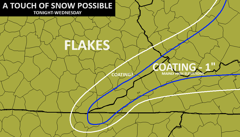
The models continue to target this region with a touch of slush early tomorrow…
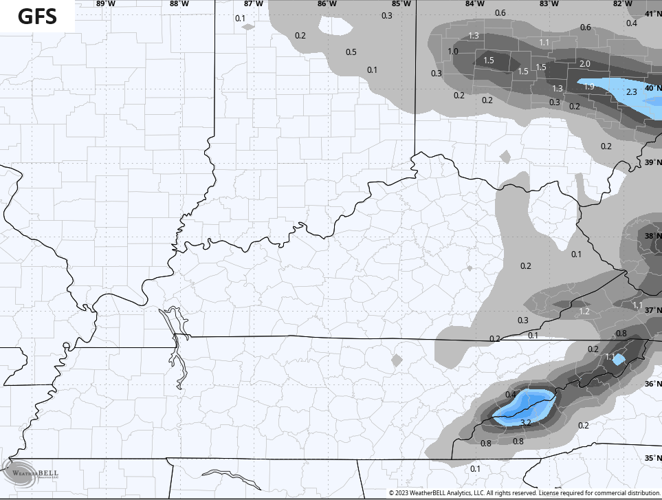
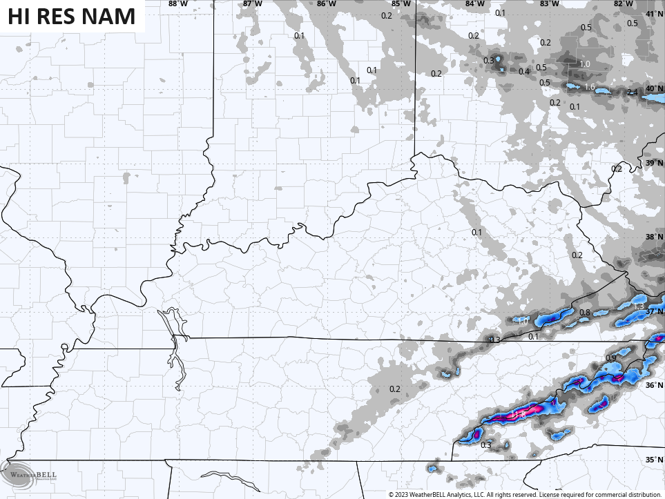
Here are your radars to follow the interesting weather out there this evening…

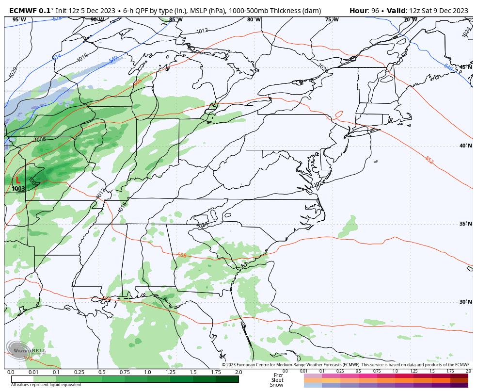
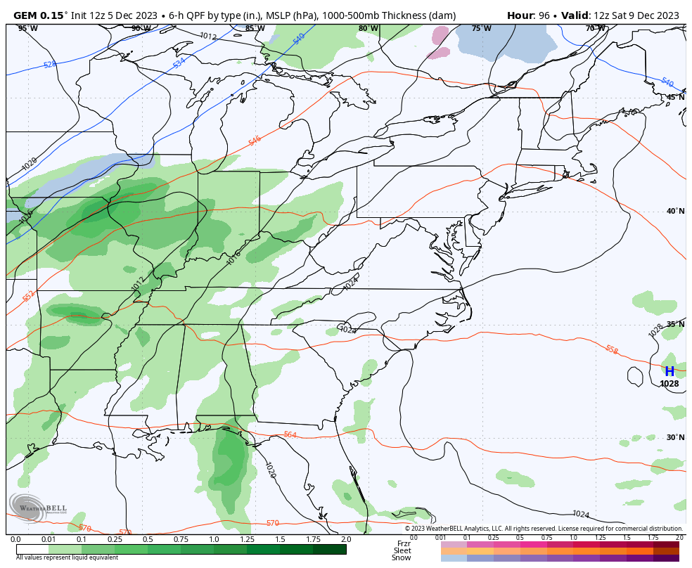
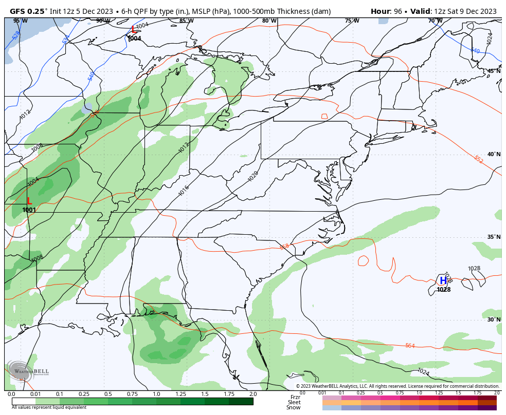
Milder winds kick in for Thursday and Friday and this is ahead of our weekend storm system. One low pressure looks to work toward the Great Lakes Saturday with a second, stronger low developing near us and riding to the northeast Saturday night and Sunday.
The end result looks to be rounds of rain and thunderstorms ahead of this system, and some of the storms may be strong. This is also a big wind maker with colder air rushing in behind the departing low Sunday afternoon and evening. That’s when some wraparound snowflakes may show up and take us into Monday morning.
The EURO was the first to jump on this strong system and continues to show this…
The Canadian Model is similar…
The GFS is struggling because it’s putting too much emphasis on the northern stream energy and that’s a known bias of the model. Still, it’s just now seeing the potential for the second low developing…
Enjoy the strange weather evening and take care.
