Good evening, folks. It’s an absolutely fantastic start to the weekend as we get set for a brief blast of winter on Saturday. This shot is in and out of town very quickly with a shot of spring temps and storms set to replace it early next week.
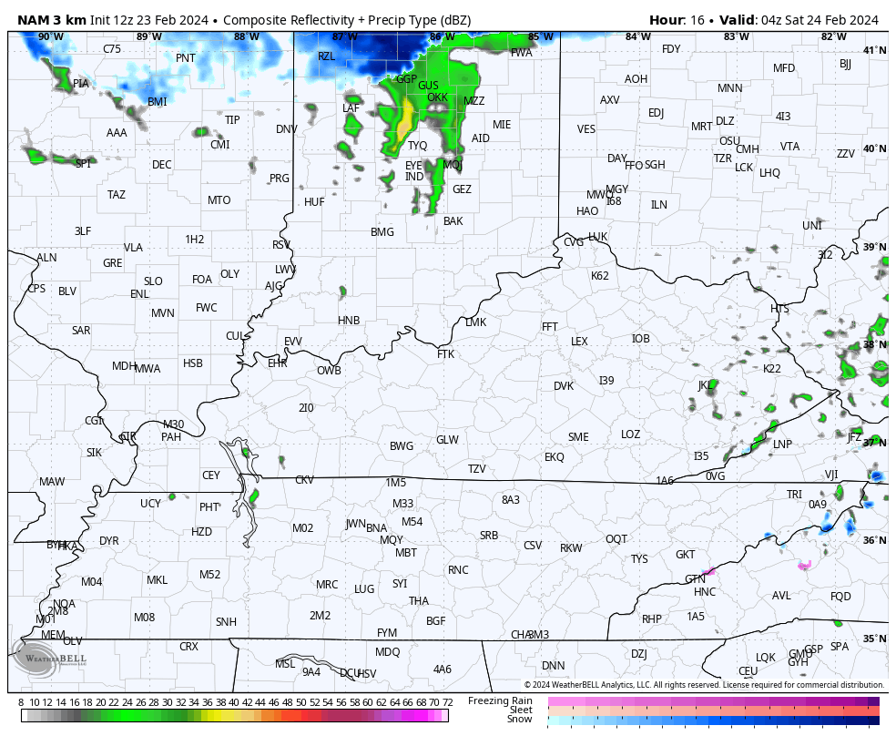
It’s a clipper dropping in from the northwest tonight and Saturday. This brings light rain and some light snow to areas of central and eastern Kentucky with the chance for some light slush to show up across the eastern half of the state.
The future radar from the hi res NAM shows this well…
Sunday looks much better with temps rebounding into the 50s, but with a small chance for a shower in the afternoon.
Temps take off Monday and Tuesday as a strong southwest flow kicks in ahead of a storm system rolling from the Plains toward the Great Lakes. This system has a healthy push of cold air behind it, setting the stage for a battle of the seasons. Rounds of showers and strong thunderstorms develop Tuesday into Wednesday with the chance for some snow on the tail end of this as cold air crashes in on Thursday…
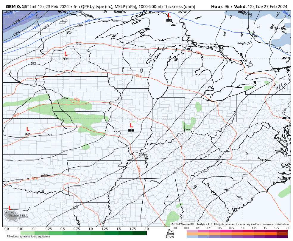
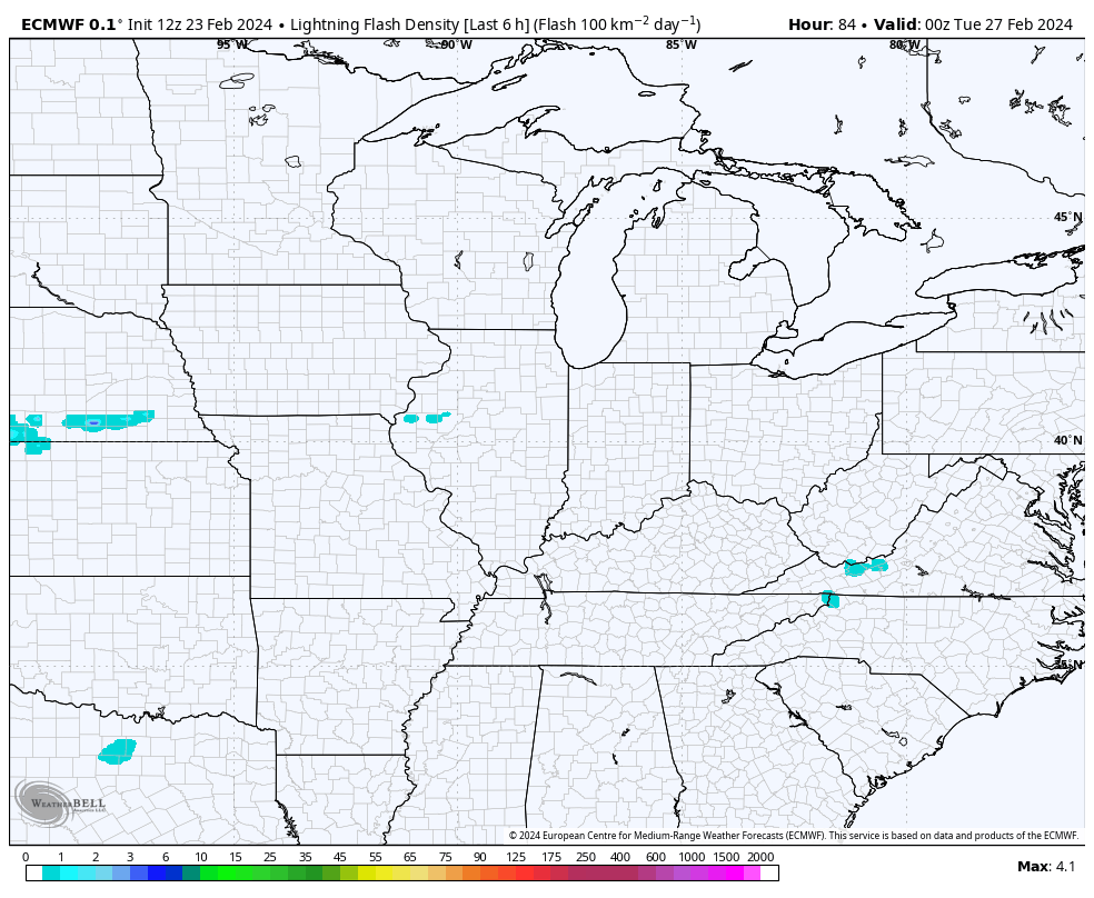
The Canadian and GFS models are slower with our system, giving us the best severe weather threat. The EURO is a bit faster with the system, but still gives us a severe weather threat. Check out all the lightning coming from the EURO…
The Storm Prediction Center continues to outline the severe threat days in advance. They have western Kentucky in the risk for Tuesday…

That threat then rolls eastward into Wednesday…

Enjoy the rest of your Friday and take care.
