Good Monday to one and all. It’s another VERY warm day across the Commonwealth as we gear up for another stormy setup. This will be complete with the potential for strong to severe storms rumbling through over the next couple of days.
Let’s begin with the precious present and roll forward. Highs today are back into the 80-85 degree range for many with gusty southwest winds. Those winds may spawn a storm or two, but these look very scattered.
As all this is taking place around here, a major outbreak of severe weather is underway across the plains states. This will push farther east on Tuesday with the severe storms threat getting into the western half of Kentucky during the evening.
This is where the Storm Prediction Center has highlighted in the latest Severe Weather Outlook from the Storm Prediction Center…
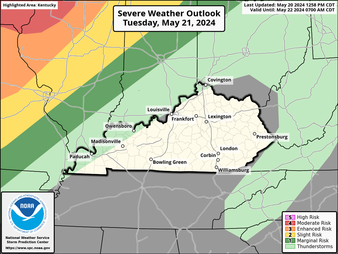
The greatest severe threat for Kentucky looks to come Tuesday night into Wednesday. Scattered strong storms will be possible Tuesday afternoon before a line of strong to severe storms sweeps into western Kentucky Tuesday night. That should weaken some as it gets farther east. Some sun may come out for a time early Wednesday and that would help fuel some additional strong to severe storms developing across western and central Kentucky by afternoon. That would roll to the east through the day.
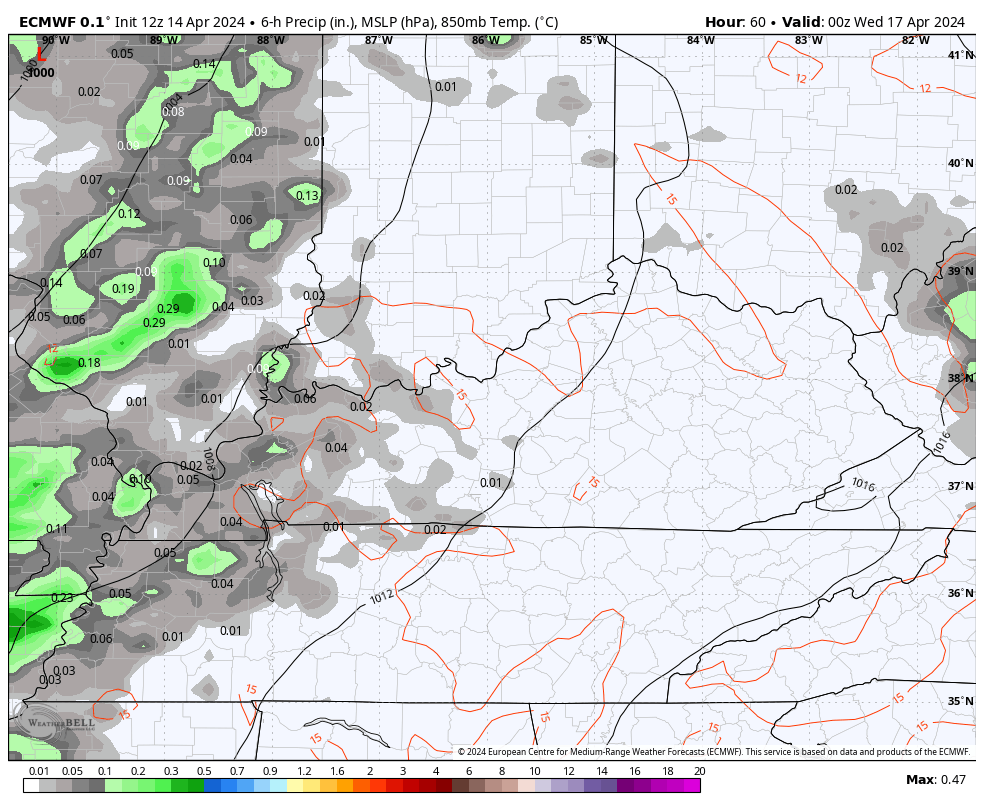
The EURO has had a good handle on this whole scenario for a while now…
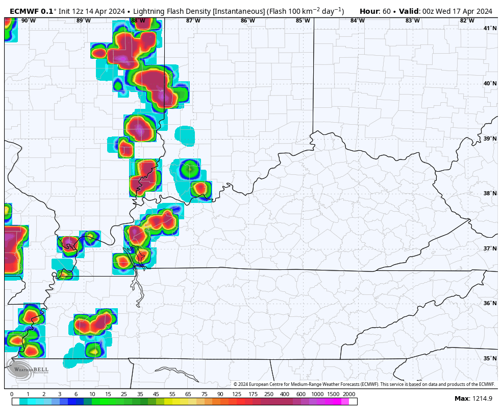
You can see the intensity of the storms based on the lightning density forecast during the same time…
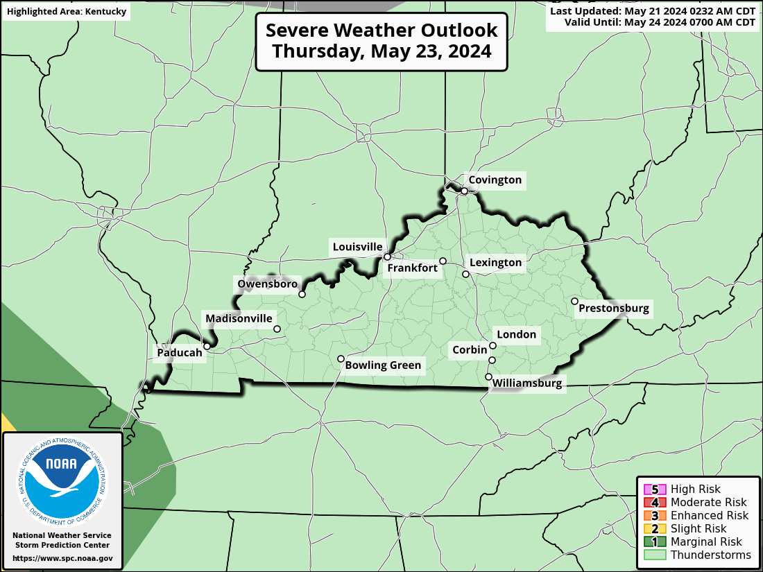
I’m especially concerned with the storms that blow up on Wednesday. All modes of severe weather could be on the table and the Storm Prediction Center is targeting much of the region in the Wednesday Severe Weather Outlook…
A big push of much colder than normal air then dives into the northern plains by Thursday and presses to the southeast into the upcoming weekend. The latest trend is for the leading edge of this to become more active with waves of showers and thunderstorms Friday into the weekend…
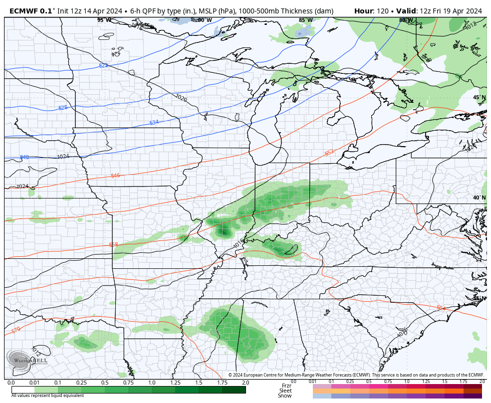
EURO
GFS 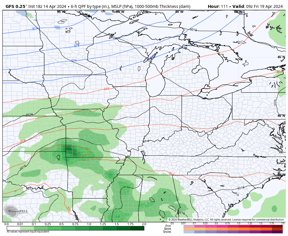
Not only would that bring some very cool temps, it could put us in an area we have to watch for repeat rains that could add up. The other scenario would be the for cold to overwhelm the pattern and bring clear skies with frost and freezing temps. Either solution has some ugly with it.
I may pop by for another update later today. Until then, here are your radars to track the scattered storms going up across Kentucky and the major severe weather to our west…

Current watches

Possible Watch Areas

Make it a great Monday and take care.

Today might be the pick of the week.
Although Thursday has potential to be a sunny day.
The cool shot won’t be a big deal. #TeamSpring #TeamHeat
Thanks Chris. Really enjoying the warm days with low humidity and dew points. Hoping the predicted severe weather weakens as it moves east out of the plains into our area.
Have a great and safe day everyone !
“Not only would that bring some very cool temps, it could put us in an area we have to watch for repeat rains that could add up. The other scenario would be the for cold to overwhelm the pattern and bring clear skies with frost and freezing temps.”
If we’re voting, I’d like Door #1, please. My preference in mid-April is to have moisture over freezing temps.