Good Sunday, everyone. We have a little bit of awesome taking place out there today as spring does some serious flexing. This surge of warm air takes us into the start of the week ahead before storms show back up and change the temp pattern.
Today is amazing with 75-80 degrees for most of central and eastern Kentucky. Winds will be gusty from the southwest with a mix of sun and clouds showing up. There’s still the chance for an evening shower or storm in the north. That’s near a region that could see a few strong to severe storms through tonight, but much of that is likely north of the Ohio River.
Here’s today’s Severe Weather Outlook from the Storm Prediction Center…

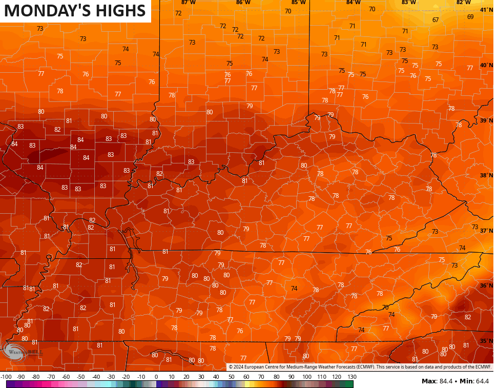
That slight chance for a storm sinks farther south for Monday as temps warm even more. Highs Monday may reach 80-85 in several areas…
Let’s do this, spring!!
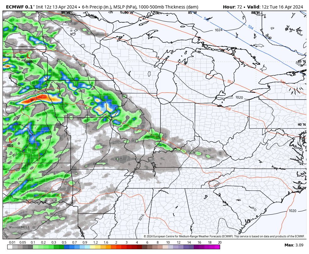
This warmth is ahead of a storm system rolling from the Plains toward the Great Lakes through the middle of the week. This setup brings a few storms in here for Tuesday with a greater threat for big boomers Tuesday night into Wednesday…
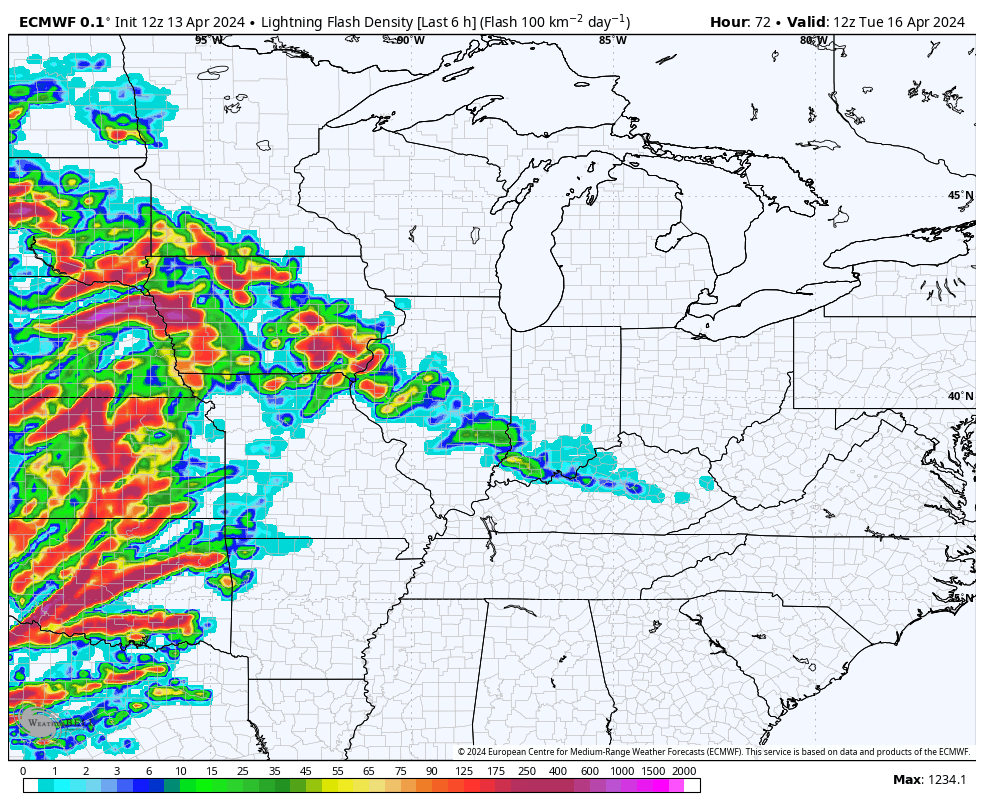
Check out all the lightning with these storms during the same time period…
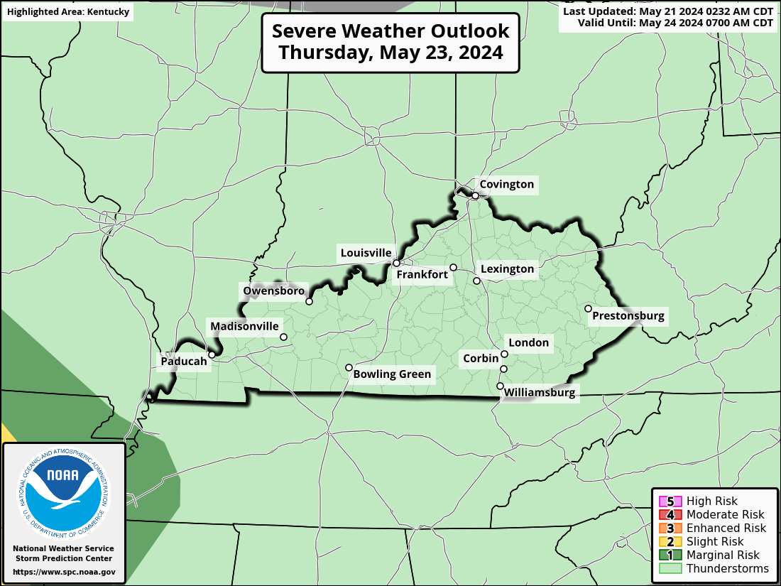
This setup brings a major outbreak of severe weather to our west and southwest Monday into early Tuesday. That threat may get into the western half of Kentucky on Tuesday and Tuesday night. Here’s the latest Severe Weather Outlook for Tuesday…
That’s the final day of the traditional 3 day Severe Weather Outlook from the Storm Prediction Center, but they give a much more general outlook from days 4-8. This is the generalized risk area they’re showing for Wednesday…

That’s the day we will really need to be on guard for the best severe weather potential of the week ahead.
Another round of showers and storms will sweep in here by late Thursday and Friday as another system zips through. This unlocks much colder than normal temps for the weekend and into early next week…
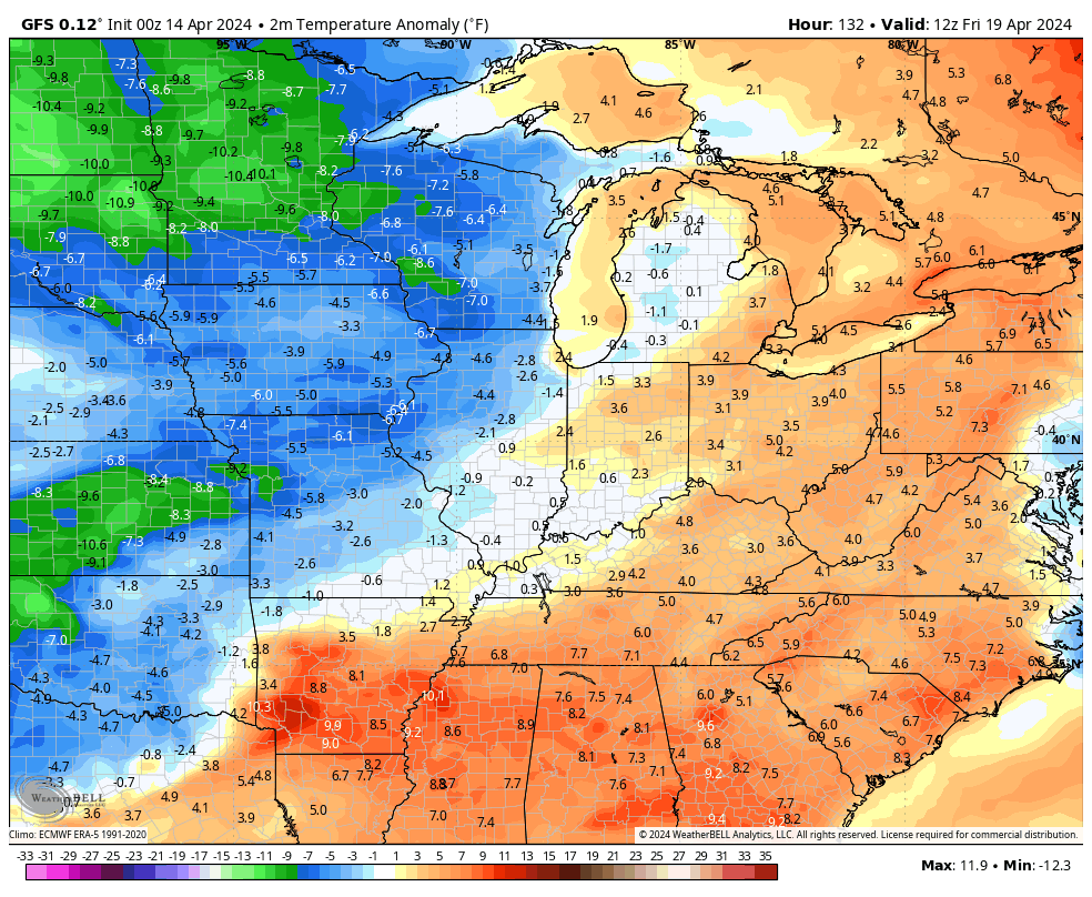
Temps should bounce back to above normal fairly quickly a few days after that.
I leave you with all the trackers you need to follow the storms to our north and northeast…

Current watches

Possible Watch Areas

Make it a great Sunday and take care.

So what happened to the 80s that were initially forecasted for Thursday?
Thanks Chris. Enjoy this beautiful Sunday !
Looks to be a decent week ahead with a few interruptions.