Good Saturday and welcome to the weekend. MUCH better weather is blowing into the region today as sunshine and mild temps take control. Even warmer temps are on the way for the next several days as storms start to slowly show back up.
All of this is ahead of what may be a frost and freeze threat next weekend.
Highs today range from the upper 60s to middle 70s across the state with sunny skies.
Highs on Sunday may hit 80 in some parts of the state with most of us in the mid and upper 70s. Dry skies continue but there is the chance for a few storms to fire by Sunday night and Monday with the EURO being most aggressive…
The Storm Prediction Center sees a low-end risk for a severe storm out of this, especially to our north, late Sunday and Sunday night…
Temps on Monday reach 75-80 in most areas with the chance for a storm.
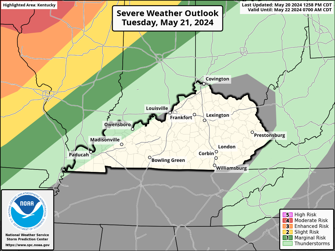
Tuesday is another windy and warm day with a few storms around. While we are enjoying some nice stuff, a storm system rolling out of the Rockies into the Plains will bring a major severe weather outbreak just to our west.
The concern is for some strong to severe storms to get in here late Tuesday and Wednesday as this storm system rolls toward the Great Lakes…
The EURO is showing a lot of lightning with these storms…
All of this is ahead of another system will drop in here late this week and it has cold air surging in behind it for next weekend. This air is cold enough to bring some flakes as close by as the WV mountains…
Barney colors are showing up behind this front as temps go well below normal…
Frost and freezing temps will be a good bet next weekend. This is the cold shot I’ve been prepping you for over the past several days.
Enjoy your Saturday and take care.

The “cold shot” won’t be a big deal.
Can you feel the change? I’ve felt it for several days now.
Thanks Chris. As you stated the other day ” slow the roll on your spring planting. ” I hope we will be able to plant after May 10th ? Wednesday is forecast to be another potentially severe weather day. Hoping there’s NO tornadoes anywhere.
Enjoy this beautiful weather day !
Thursday was supposed to be 80 plus, now 60s? Lame.
You have said it best over the last few years ‘I don’t believe the long distance models.’
Actually the models had a good run last year concerning only temperatures.
This year they have been a disappointment.
Even the 7-day flipped on it, haha!