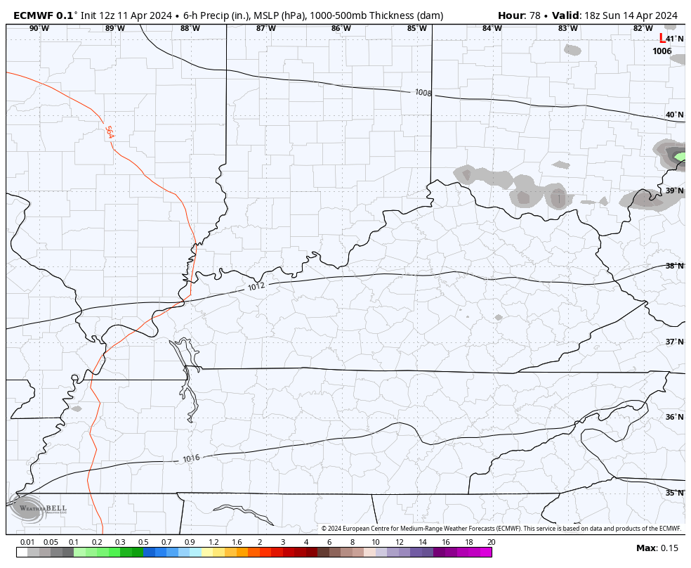
Good Friday, folks. It’s another pretty ugly weather day across Kentucky as we get set for much better weather for the weekend. This nice stuff includes more sunshine and temps that surge toward May levels. That will be followed by another active week of weather.
Today features cool northwest winds that are cranking to 30mph or greater at times. This is behind our departing low pressure that’s also spawning waves of showers with some embedded thunder and lightning. There’s even the chance for some small hail again.
Here are your radars to follow along with another case of dreary weather for central and eastern Kentucky…

Temps today are in the low and mid 50s for the eastern half of the state as the west hits the low 60s with some sunshine.
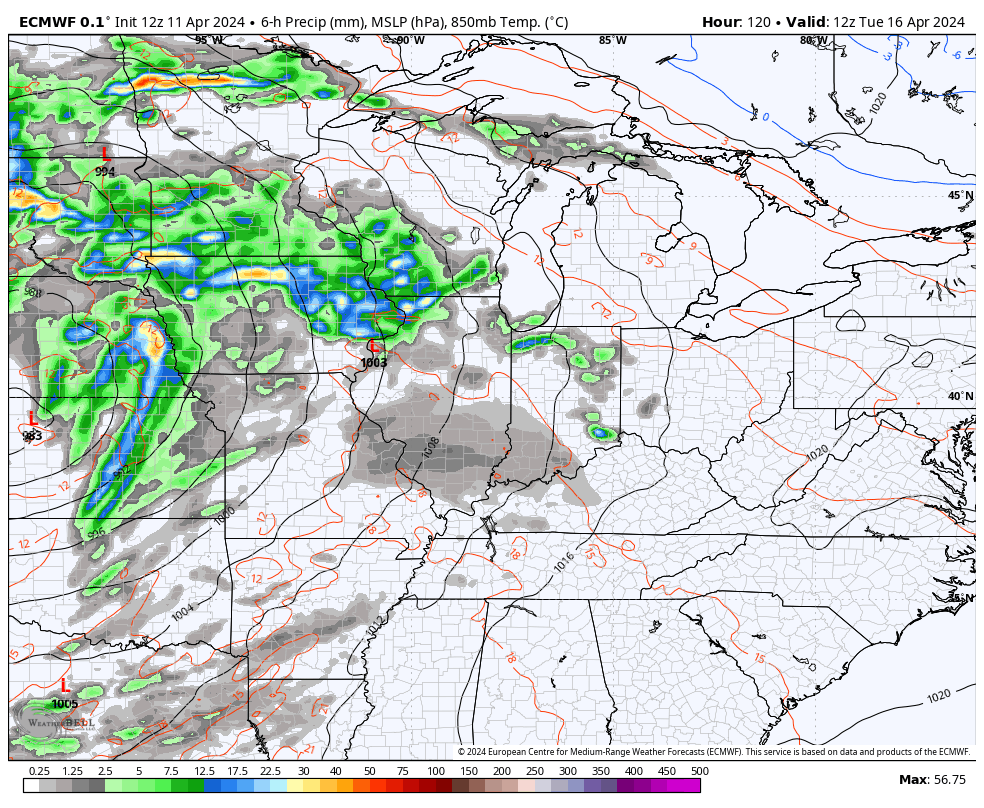
Sunny skies take control on Saturday with temps surging into the 70s in the west and mid to upper 60s east. Those numbers surge deep into the mid and upper 70s for Sunday as winds gust up ahead of a system grazing us from the north. This may touch off some scattered showers and storms late Sunday into Monday…
Temps Monday are mainly 75-80 for most areas and we stay in that similar spread Tuesday into Wednesday with the chance for strong to severe storms to sweep into the Ohio Valley during this time…
Temps behind this actually stay warm with near 80 for Thursday into Friday before the next round of big storms rolls into the region. That takes us into next weekend with colder air lurking…
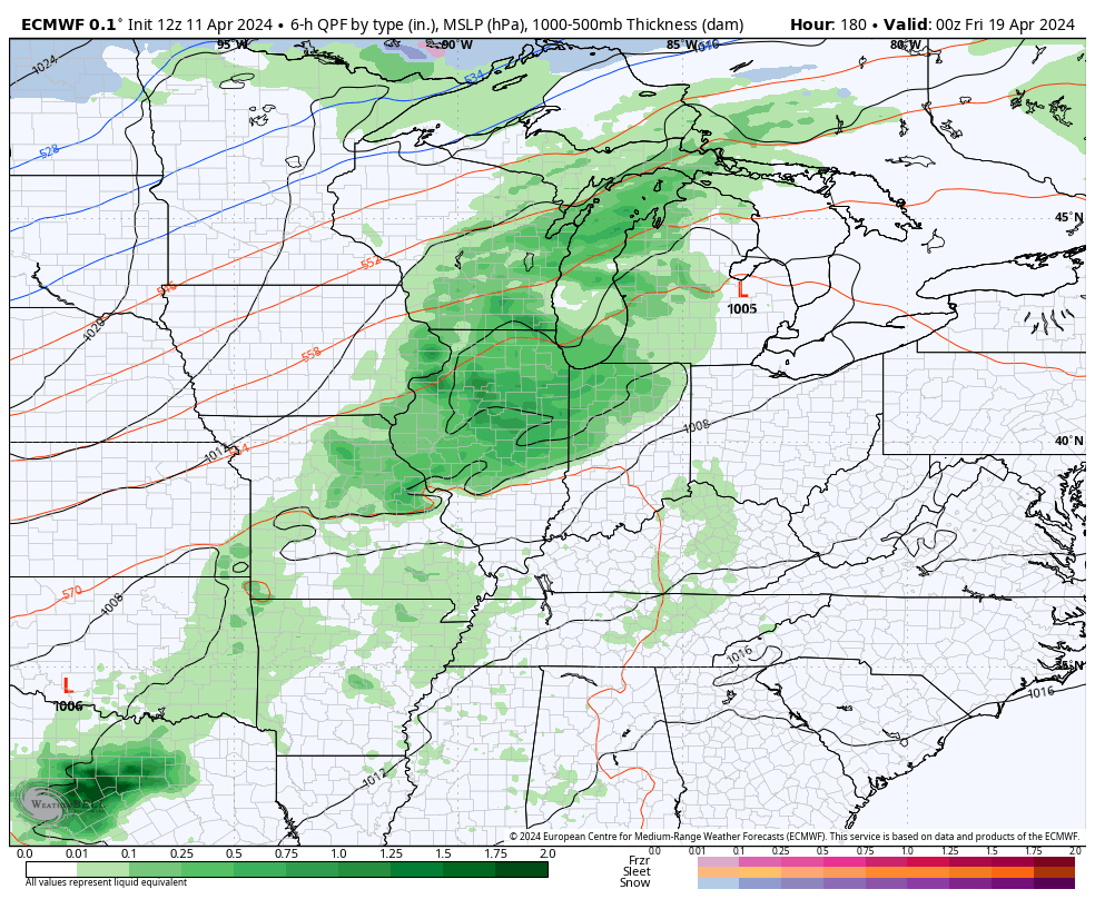
As I mentioned in the last update, there’s likely one more pretty good shot of chill coming before the month is over and it may very well be behind that system.
Otherwise, we are likely to continue to see this stormy pattern roll right on through May. May and June may be especially active in the severe weather world.
Have a fantastic Friday and take care.

Thanks Chris. Good soaking rains this past week without the severe weather in my area. Ready for it to dry out with sunshine and the predicted warmer temperature this weekend. We will worry about the severe weather potential next week, and hope it doesn’t happen.
NOAA came out yesterday predicting / saying that we were entering ENSO / neutral, and then later this summer / fall we will be phasing into ENSO / La Nina. The way I determine what phase of ENSO we are in is by the measurements of sea surface temperatures plus the atmospheric conditions ( PDO. ) The PDO is now a negative 1.55. ENSO / neutral is 0.00, so sometime this spring / summer this may happen, but I have my doubts. The PDO has been negative since 2016. I asked NOAA ” how could there be an El Nino event in 2023 -24 when the PDO is negative, how could it even start ? ” No clear answer was given.
Have a great day !
Chris is right it has been an ugly weather day here in the east with rain. The wind was cold to me. Just 49 now. Not a good day to run errands but you do what you have to do. I wasn’t the only procrastinator at the Cpa lol. Happy Tax time people lol. Looks like weather is going to improve for the weekend.