Good Thursday, everyone. It’s an active weather day taking shape for parts of the region as another potent storm system impacts Kentucky and surrounding areas. This setup will then be followed by the warmest pattern of the young spring season.
A few showers and storms will be around this morning as low pressure works toward western Kentucky. This low then rolls north and northeast into Indiana and Ohio this afternoon and evening, focusing the severe weather threat along and just ahead of the track.
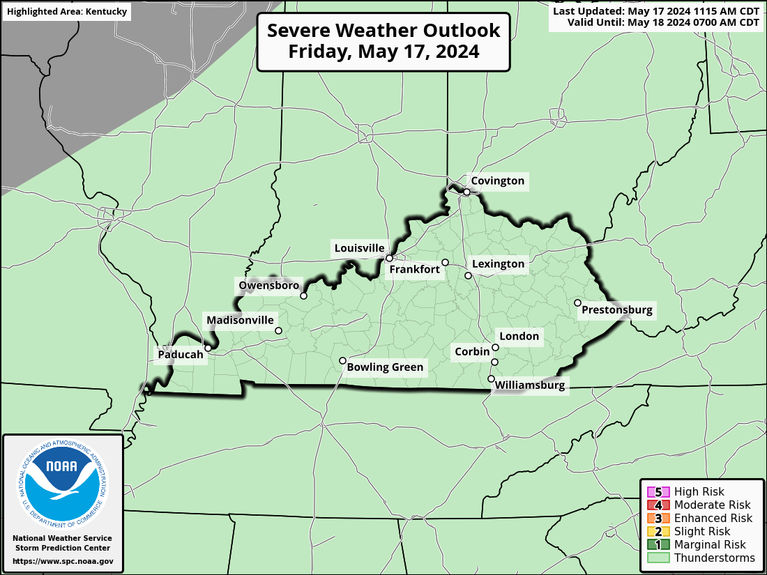
This means the best chance for severe weather here in Kentucky will be across central and eastern Kentucky with northeastern part of the state having an increased risk. Here’s today’s Severe Weather Outlook from the Storm Prediction Center…

This does not look to be on par with last week’s severe weather and tornado outbreak, but it doesn’t have to be to cause a few issues.
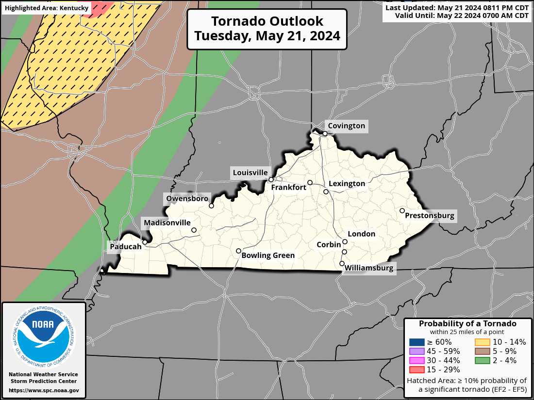
The Storm Prediction Center is showing the potential for a few tornadoes in our region with the greatest potential from parts of eastern Kentucky through West Virginia and Ohio…

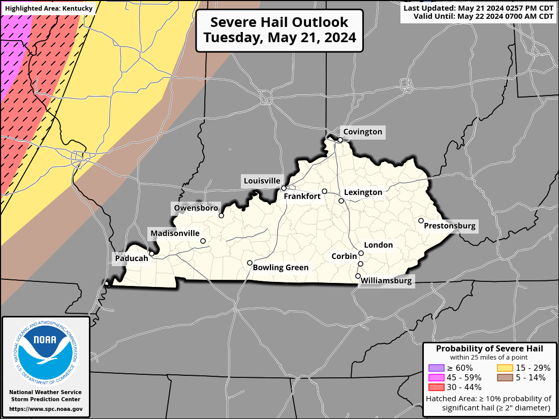
Damaging winds and large hail will also be possible…


In addition to the severe threat, heavy rainfall of 1″-2″ will be possible in some areas, so watch the creeks and streams.
Much cooler winds wrap in behind the departing low tonight and Friday as gusty showers fill back in. Friday looks like a pretty nasty weather day for much of central and eastern Kentucky.
Brighter days return for Saturday and Sunday with highs on Saturday ranging from the mid 60s to low 70s. Temps by Sunday then surge deep into the 70s…
80 is possible by Monday…
There is the slight chance for a storm or two around later Sunday into Monday with a greater storm threat lurking for the middle and end of the week. It’s a week that will feature VERY warm temps with 80 possible on more than one occasion.
I still think we have one more cold shot in us before the month is over, so slow your roll on any planting. It’s too early for that anyway.
I leave you with your Thursday severe storms tracking tools…
Possible Watch Areas
Make it a great day and take care.


Any remaining “cold” will be no big deal.
I dread summer if it’s going to be hot/muggy
Yeah 80s already! It does make you think that we are in for a long, hot muggy summer..
I have a strong feeling that a combination of record heat, major hurricanes, and a cicada invasion will make this Summer one to remember (or forget!).
Last time we had the cicada invasion was in 2008. We just finished with this years Asian beetle invasion. This area I live in now is extremely ” buggy. ”
Eighty degrees is not uncommon for April. I’ve seen eighty degrees in February and a heavy wet snowstorm the following week.
The Climate Prediction Center has come out with their April update, with very little change from last month’s report. the CPC hasn’t officially stated that we’re in ENSO Neutral, but sea surface temperatures and equatorial wind flow says that Neutral is where we are right now. The odds of a La Nina emergence during the June to August have increased to 60%, a number that I feel is on the low side. The question remains whether a La Nina Winter will up our chances for snow remain up in the air, literally, since atmospheric warming has negatively affected so many of the climate measurement metrics. Here’s the full report:
https://www.cpc.ncep.noaa.gov/products/analysis_monitoring/enso_advisory/ensodisc.shtml
Well i have had heavy rain most of the day and it’s continuing as we speak. I can’t believe next month is already Memorial Day.