Good Wednesday to one and all. It’s the last day of the month and this stormy pattern shows little sign of letting up. Rounds of strong to severe storms will impact the region again today with more through the end of the week. These storms may also produce flash flooding concerns.
This pattern is playing out as I expected from last week. I made this graphic for you guys 8 days ago…
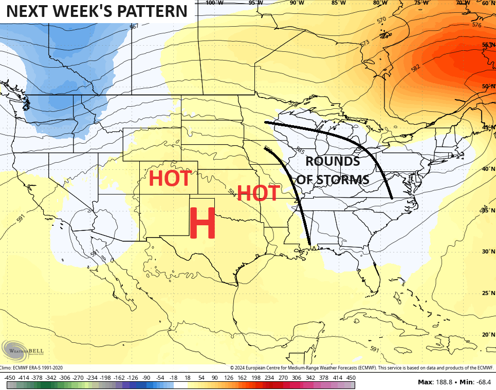
Storms on the eastern edge of a heat ridge generally pack three things:
- Damaging wind
- Torrential rainfall
- Lots of lightning
Those are three things we have certainly seen a lot of since Sunday and there’s a lot more to come. Waves of storms continue to roll from northwest to southeast across the state today, leading to more in the way of severe weather and possible flash flooding.
Here’s today’s Severe Weather Outlook from the Storm Prediction Center…

Damaging wind is the greatest threat with any of the storms out there today. Here’s a breakdown of the various threat levels from the Storm Prediction Center…


This threat continues into Thursday and Friday. Here are the outlooks for those days from the Storm Prediction Center…


In addition to the severe storms threat, I’m very concerned about the potential for flash flooding with repeat rounds of storms targeting areas farther east than the past few days.
This pattern will finally end by the weekend as an upper level system drops in from the northwest…
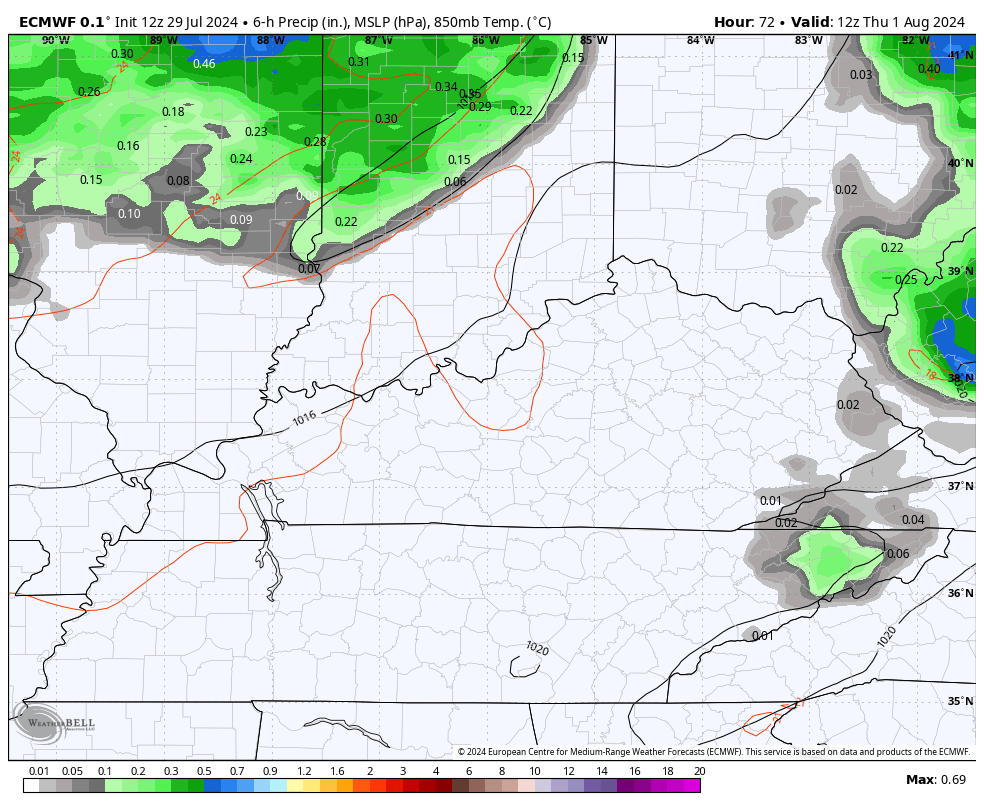
Here are your storm tracking tools for this last day of July…


Current watches

Possible Watch Areas

Have a wonderful Wednesday and take care.

It hasn’t played out completely.
Thanks Chris. Great job on your graph predictions eight days ago. Yesterday, coming home from my doctor’s office, we ran into one of the hardest rain events I’ve seen in years, but when we arrived home to the hills not so much, and our electrical power was out for two hours. Maybe today we will receive one of thoughs good soakers. I don’t know how many times we can miss out on rain events. After all that said, we are now receiving a heavy rain shower. Maybe this weather pattern is now focusing on our area.
Have a great day everyone !
Currently enjoying a nice shower with no wind or hail. No flash flooding, toppling trees, or dented truck hoods.
Jeff, it’s play out in my neighborhood. Gust winds, fierce lighting and heavy down pour yesterday afternoon.
In your neighborhood. Key words.
Yeah, Western Kentucky has had their share of powerful storms this Summer.
Can anyone say ‘DERECHO”?
Dash, that would be an expensive diaster in my area, because we have lots of trees.
Just got a severe thunderstorm watch or warning maybe we will get some rain. It’s been hot and muggy today.
We had bouts of heavy rain late this afternoon. Lots of thunder and lightning and brief power outages. Finally some much needed rain. I haven’t check my rain gauge, but looks to be well over an inch. About time !