Good Thursday, everyone. Freezing temps and frosty conditions are out there to start the day, but some milder air slowly starts to flex. This flex doesn’t fully happen until later in the weekend and early next week, giving us one heck of a stretch of awesome fall weather.
Let’s start things out with what’s going on out there today. Temps this morning are mainly in the 25-30 degree range for most of the state. By the afternoon, highs reach 55-60 in the east and 60-65 in the west with sunshine.
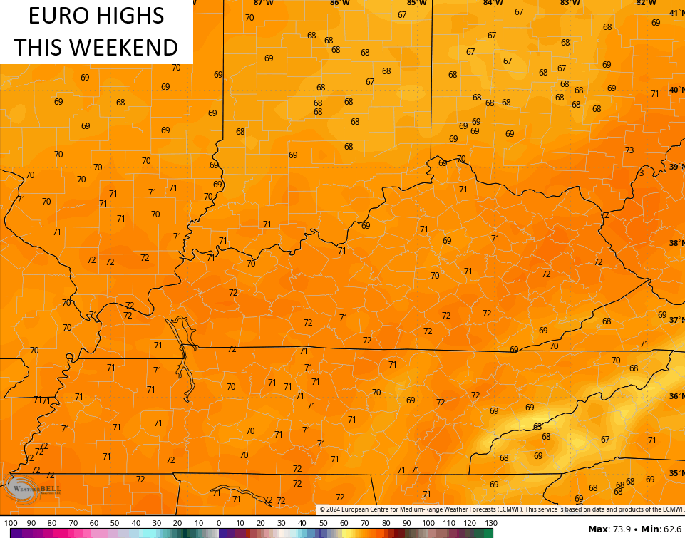
Frost is likely again Friday and Saturday mornings with the afternoon temps looking awesome. We are in the mid and upper 60s for Friday with upper 60s and low 70s for Saturday…
Temps will then climb a little more for Sunday and Monday as this great fall weather pattern continues.
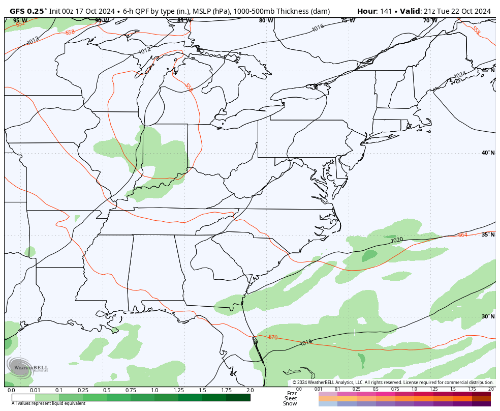
There’s a weak front settling in here late Tuesday and Wednesday. This could touch off a few showers…
Much cooler air comes in behind that for the end of the week with frosty mornings returning.
That will be followed by a quick temp jump before what looks like a much deeper trough diving in to close out the month. The GFS continues to be fairly consistent from this far out…
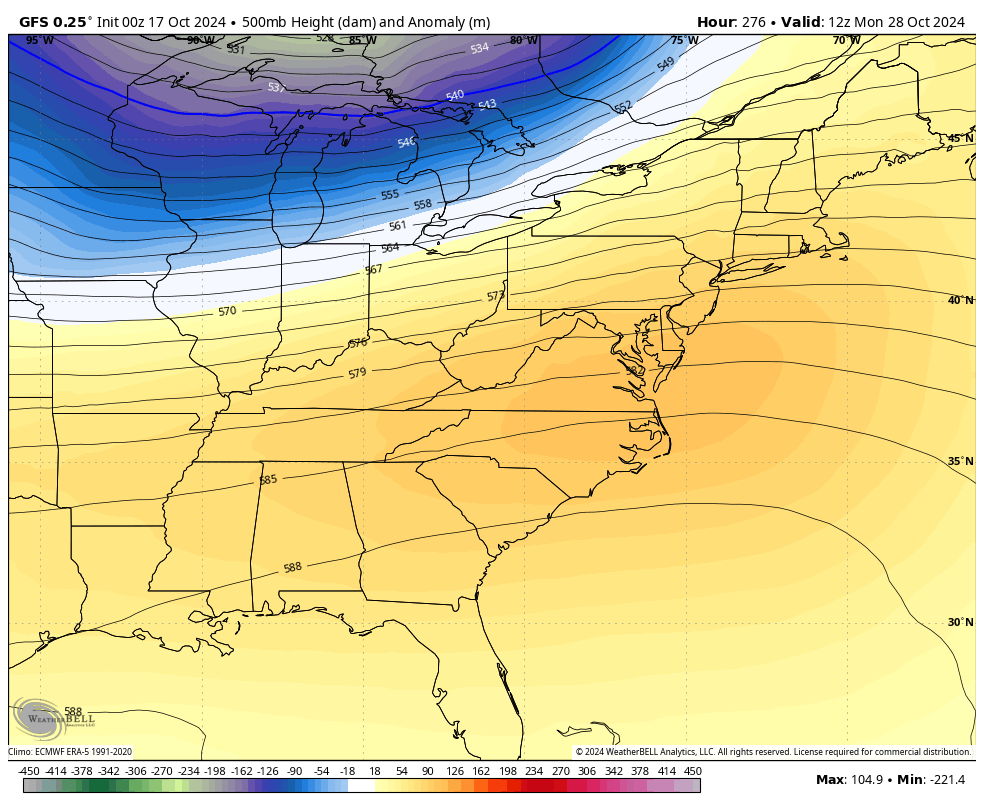
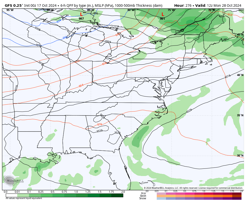
The signal for a fairly significant storm system is there to close out the month…
The EURO AI has also been really consistent with everything the GFS is seeing. Watch the little trough next week with a big ridge following that and the deep trough to close out the month…
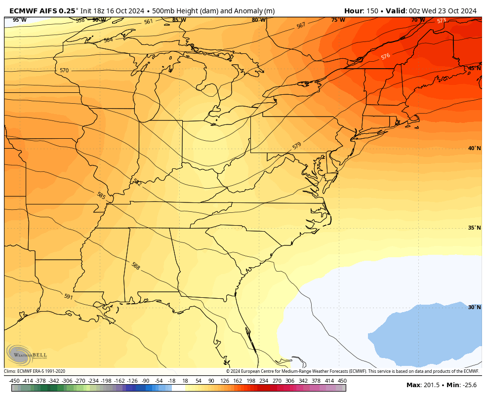
At the surface, the EURO AI shows the shower chance next week and the potential for a big storm system with that deeper trough that follows…
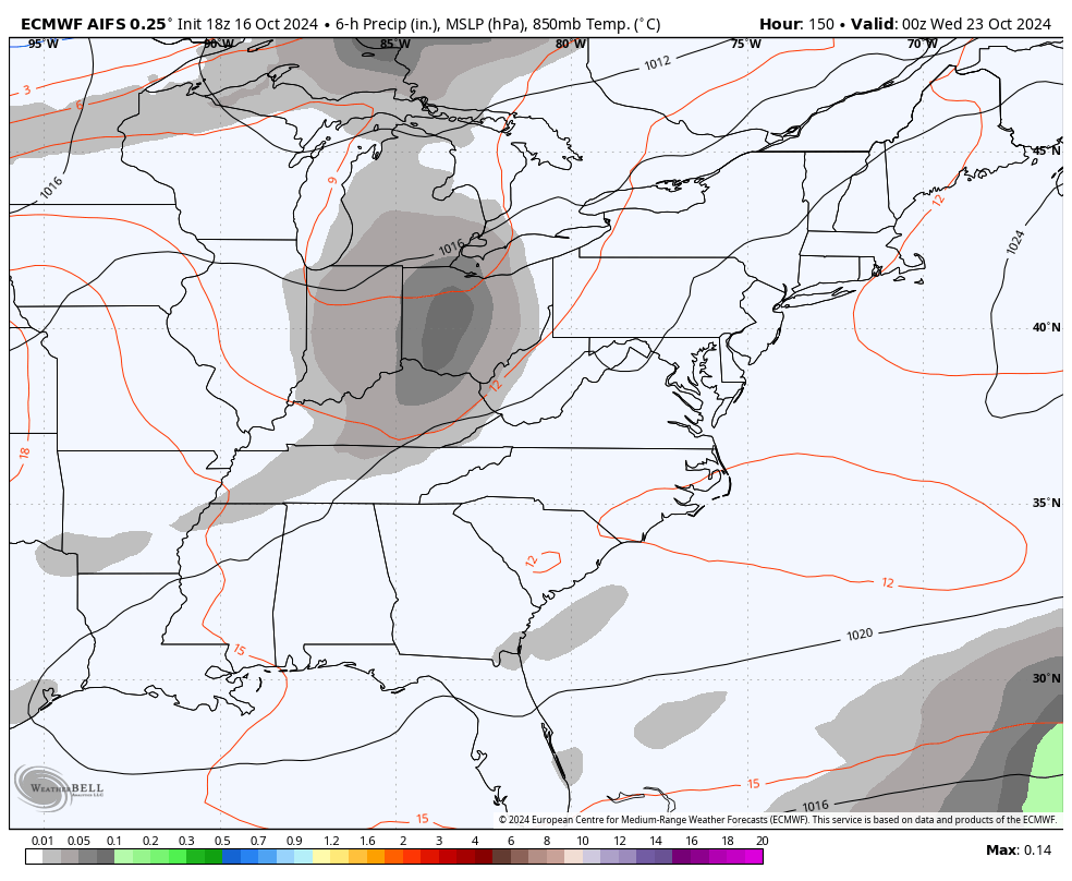
That could be an interesting system.
The tropics continue to feature the system of interest rolling toward the Caribbean…

There is nothing that looks threatening in the least for the US as of right now.
Have a great Thursday and take care.

Still 37° at just after 230 in Richmond, so we’ll see how it gets.
Our PWS shows it holding steady at 35 degrees. Dogs and I strolled about and found just heavy dew. Beautiful, star-filled sky.
My PWS hit 32.5° around 4:30am, and is now sitting at 35°. Let the great mosquito die-off begin!
We hit 33.1 this morning in Simpson county. Love to see temps this cold this early as I am ready for the bugs to go away for a few months.