Good Saturday, everyone. It’s another gorgeous weather day across Kentucky and this weather looks to keep on keepin’ on for the next several days. We really have nothing to talk about until a cold front arrives in here around Wednesday of the week ahead.
Temps today and Sunday range from the upper 60s to low 70s under sunny skies. Both mornings start with a kiss of frost.
Highs by Monday and Tuesday hit 70-75 with more in the way of sunshine.
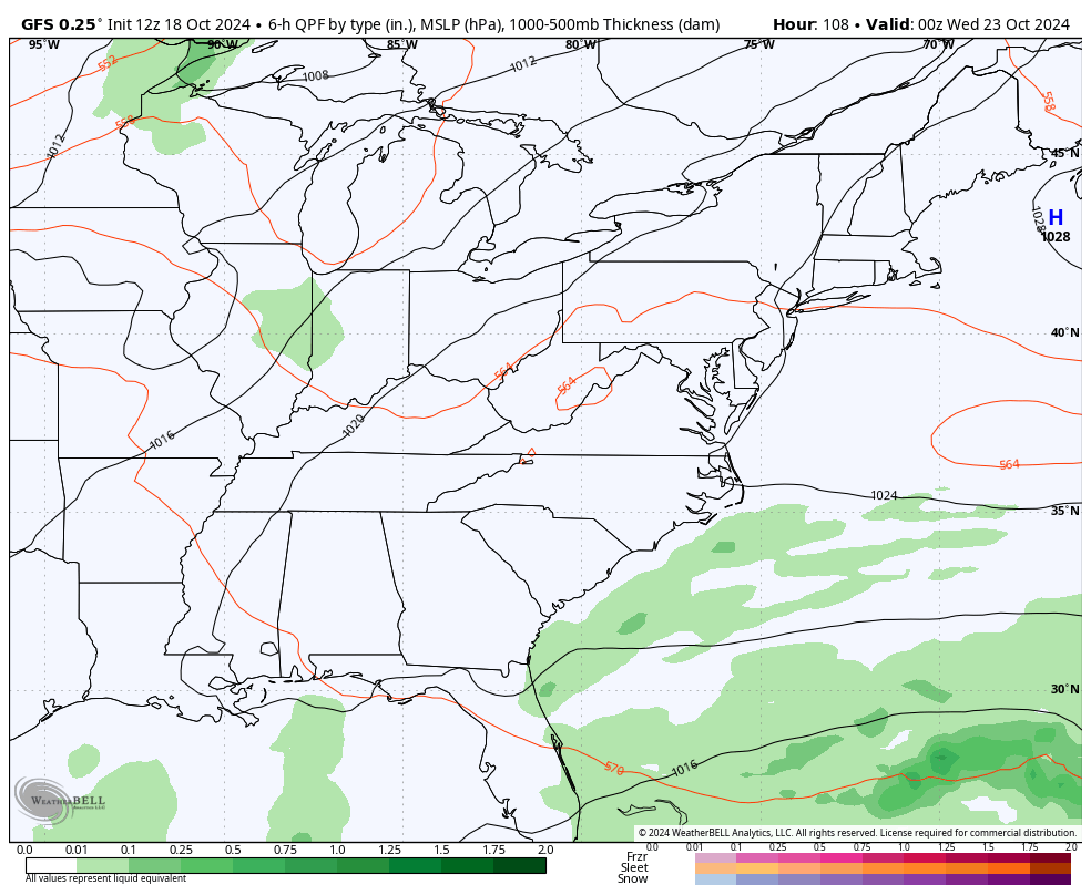
The cold front showing up by late Wednesday and early Thursday is looking a touch stronger, but still may only set off a scattering of showers…
Much colder than normal air then sweeps in behind this for the end of the week…
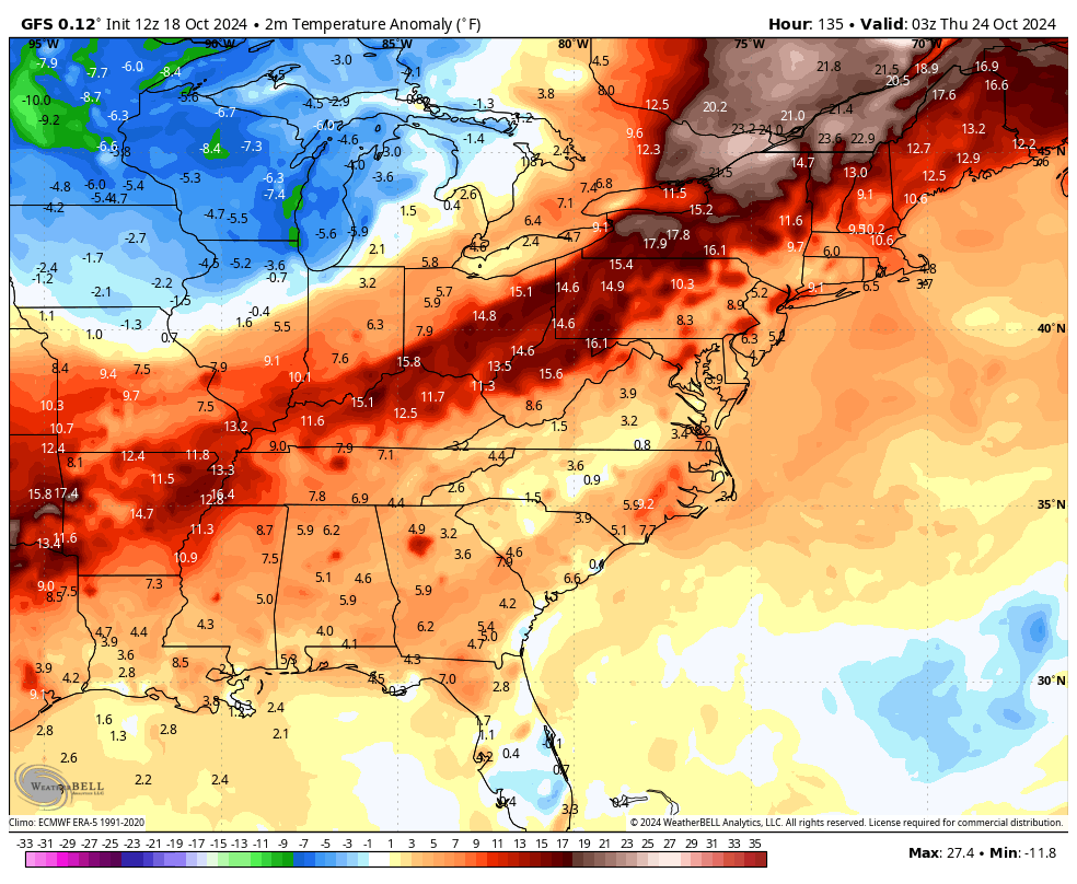
Highs may not get out of the 50s on Thursday with frosty cold temps by Friday and Saturday mornings.
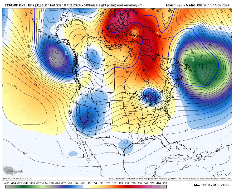
Looking toward November, the EURO Weeklies have been advertising a much more active setup for a while now. They have been indicating a mild first half and a colder second half with the threat for some winter weather.
The control run of the EURO Weeklies is going toward some deep troughs swinging through the east…
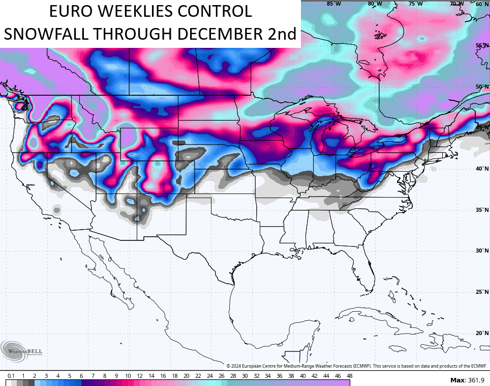
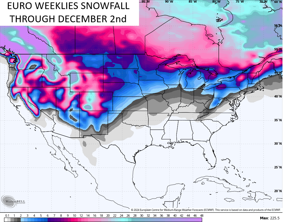
Here’s the latest snow map from this run…
The average of the roughly 100 members of the EURO Weeklies for the same time…
We. Shall. See.
Have a great Saturday and take care.
