Good Sunday to one and all. It’s another in a long line of awesome fall weather days and this pattern has more left in the tank. That tank sputters a bit later in the week as a cold front rolls into the region.
Temps today through Tuesday are in the 70s with mostly sunny skies. Enjoy!
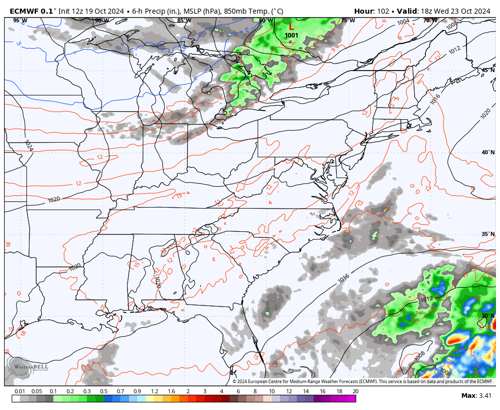
A cold front rolls in late Wednesday with the a slight chance for a few showers as colder temps crash in behind it for Thursday and Friday with the chance for another system right behind it over the weekend…
Temps should jump right back up by next weekend.
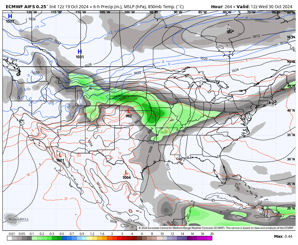
The models are struggling with how to handle the setup to close out the month. The EURO AI slows down the deep system rolling from the plains into the east because it’s see the potential for additional tropical development…
Speaking of the tropics… Remember that system we were watching as it made its way into the Caribbean? It decided to blow up and become Hurricane Oscar. It’s a small and slow-mover that’s heading into Cuba…

This won’t have an impact on the USA, so that’s good. This is one of the smallest hurricanes you will ever see…

This is the 10th hurricane in the Atlantic basin so far and that’s pretty uncommon…
#Oscar is now a #hurricane – the 10th of the 2024 Atlantic hurricane season. 9 other seasons on record (since 1851) have had 10+ Atlantic hurricanes by October 19: 1886, 1893, 1916, 1933, 1950, 1995, 2005, 2017, 2020. pic.twitter.com/W5eKS5G144
— Philip Klotzbach (@philklotzbach) October 19, 2024
I’ll have to look into any possible correlation with those hurricane years and the winters that followed.
Have a great day and take care.

Thanks Chris. That’s for sure, it has been one of the longest periods of uneventful weather. Great for all outdoor sport events etc… I read an article that the Tropical storm season may be extended into December. Now that is very unusal. I’m sure we will have some bouts of Winter weather followed by unseasonal warm weather this year and next. I just hope we receive some of those rainy days very soon, and I’m hoping that the temperatures are not too extreme.
Have a Bless Sunday Everyone
Correlation does not equal causation.