Good evening, everyone. We continue to look ahead toward a very wet and windy weekend here in Kentucky. The system coming in late Saturday into Sunday has the chance to cause some issues. Winter is still lurking later next week.
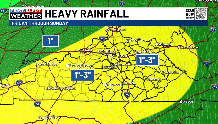
Let’s focus on the weekend systems with the first arriving Friday with showers and some rumbles of thunder with the next system coming in here late Saturday and Sunday. A general 1″-3″ of rain looks likely during this time…
Both systems show up very well on the forecast models. This animation from the GFS starts Friday morning and goes through Monday morning…
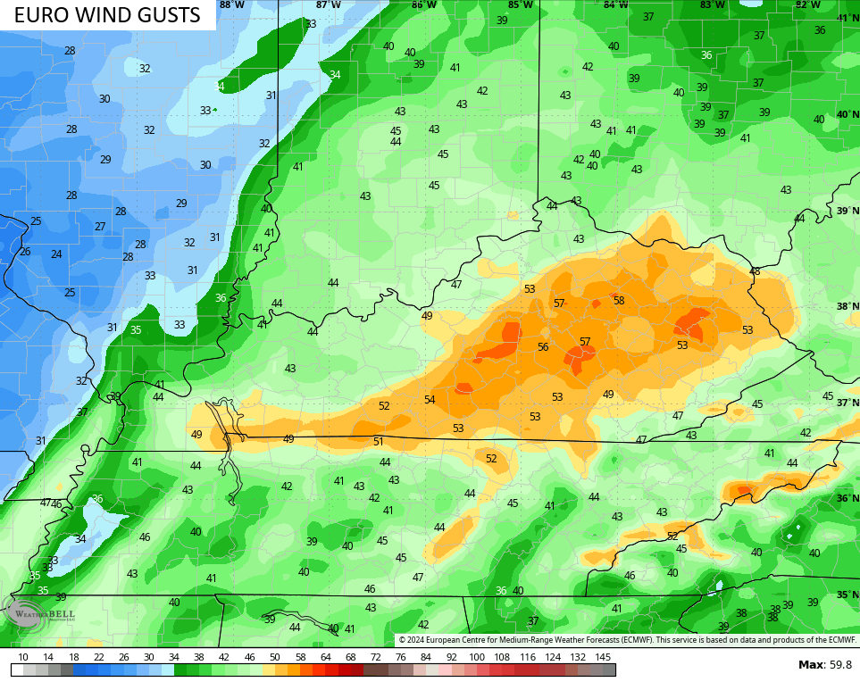
The same with the EURO, but this has a stronger low showing up late Saturday and Sunday…

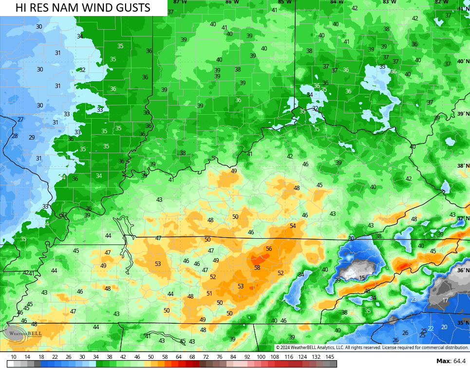
If that verifies, we could very well be dealing with some hefty thunderstorms and high winds. As a matter of fact, this run of the EURO is showing wind gusts approaching 60mph…
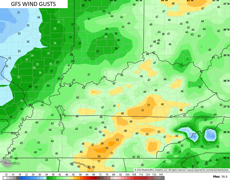
The GFS and NAM aren’t too far behind…
The next system then blows in with rain and wind for New Year’s Eve with cold air and some flakes flying for New Year’s Day…
That unleashes a very wintry setup as we head into early January. Watch these cold shots…
I’ll have the latest on WKYT-TV starting at 11pm with another KWC update later this evening. Until then, let’s track some showers…


Have a great rest of the day and take care.
