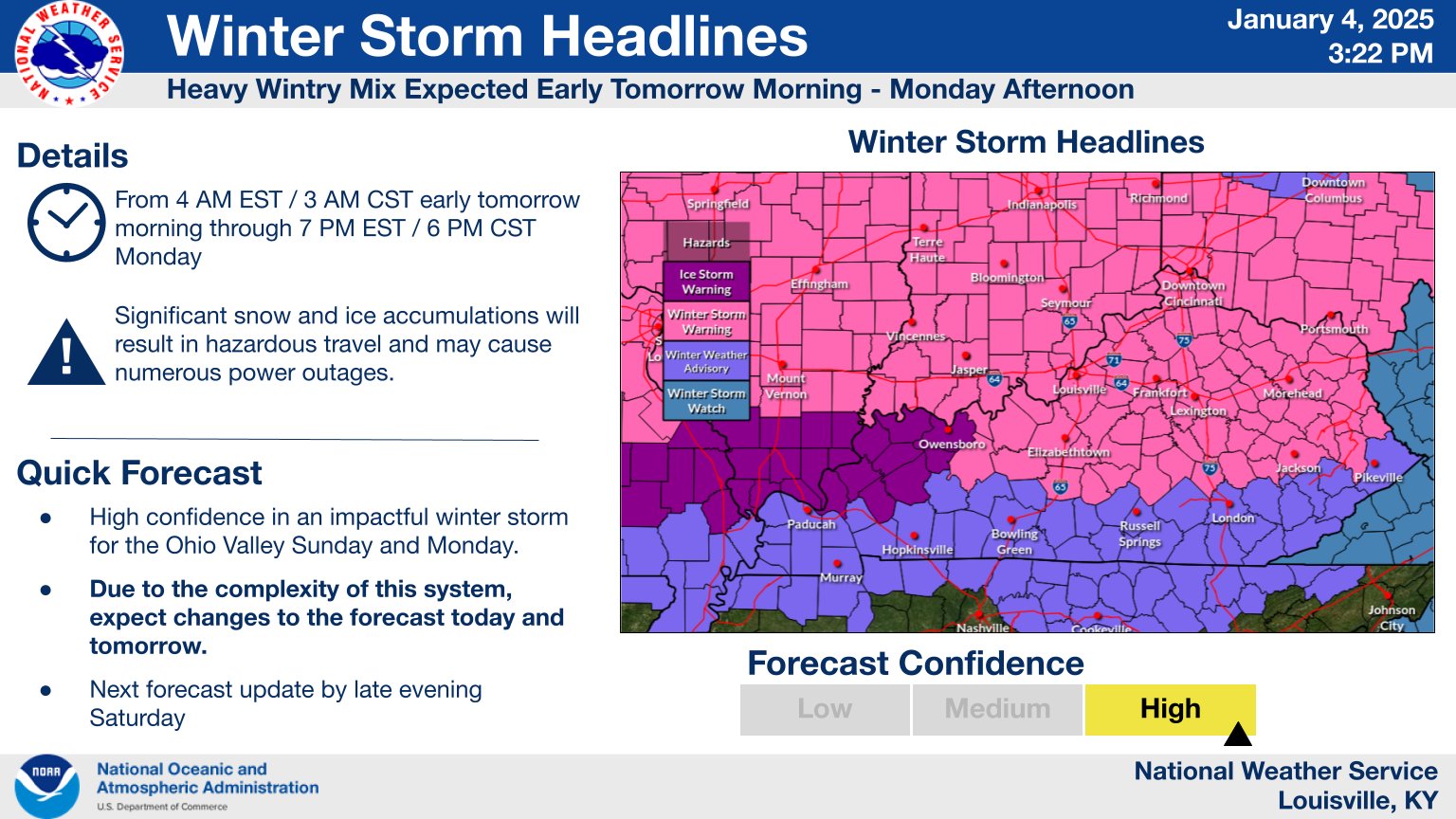
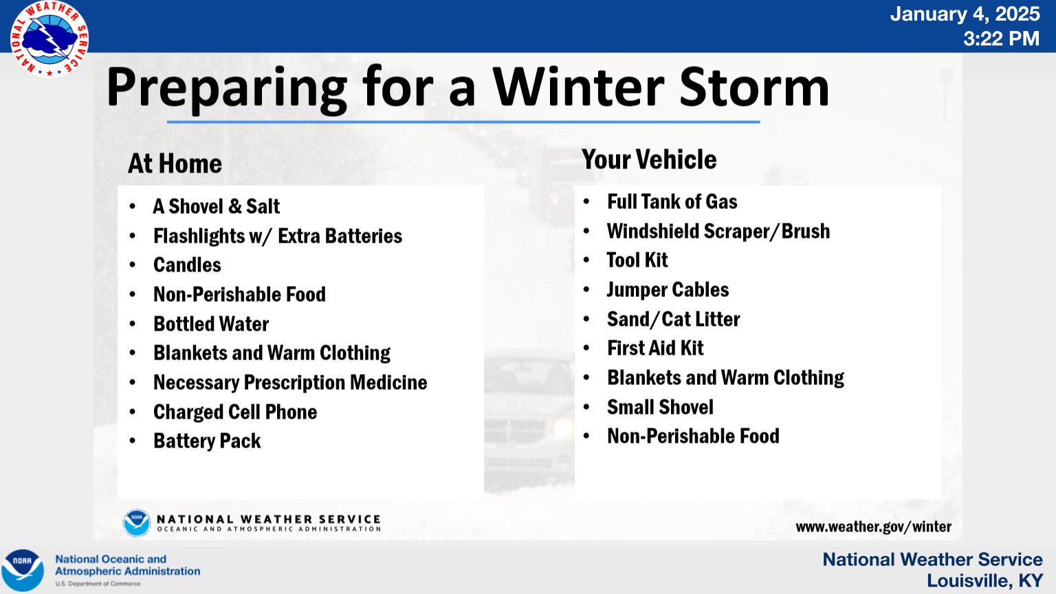
Good evening, everyone. Our major winter storm is still on track to bring significant amounts of snow, sleet and freezing rain into Kentucky Sunday and Monday. This will be a high impact storm that could lead to some power outages and closed roads.
Nothing from my end has changed as the Winter Storm Alerts continue…

My thoughts remain unchanged from earlier…
The National Weather Service in Louisville has done an especially good job being ahead of this storm so I wanted to share their thoughts as well…
The GFS continues to edge farther south with the heaviest snows…
Here’s the freezing rain map from this run of the GFS…
And the EURO…
And the sleet forecast…
The RAP Snowfall map…
And the freezing rain map…
I will be on WKYT News at 10 on the CW and on WKYT at 11. I leave you with your radars to follow our storm system in from the west…
Enjoy the evening and take care.


Finally got logged back in. Thanks Chris!!