Good Tuesday, everyone. It’s another frigid day across Kentucky another arctic cold front sweeps in. This has a few flakes along and ahead of it, with bitter wind chills coming in behind it. As we shiver through this round of cold, we are watching the weekend and next week for another harsh winter pattern taking shape.
Today’s arctic front moves in during the afternoon with very limited moisture. This looks even more wimpy today as it can only spit out some flakes across the north and east. Much of this won’t show up on radar, but here are your Kentucky Weather Radars to follow along just in case…

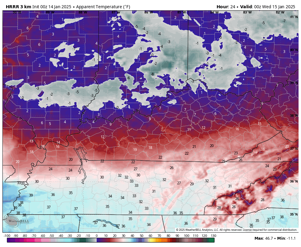
Temps this morning range from the single digits to the mid-teens across with wind chills around zero or below. Those wind chills crank even lower tonight and early Wednesday as this next round of arctic air surges in. Wind chills can reach below zero across much of the northern half of the state. This animation goes from 7 this evening through 7 Wednesday morning…
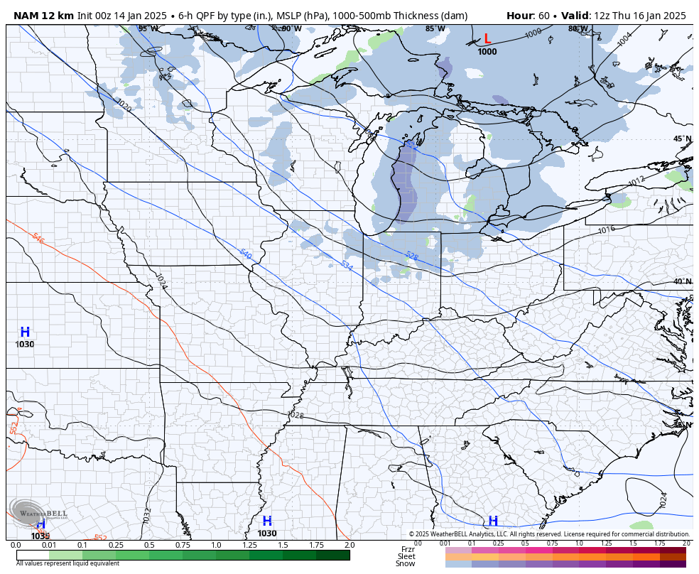
There’s one more clipper that impacts the region by late Thursday into Thursday night. While the greatest impact is likely to our north and northeast, this has a chance to spit out some flakes across the eastern half of the state. The latest NAM shows this potential…
As far as the weekend system is concerned, we will see temps jump ahead of it then crash as the arctic front moves in. It will have a storm system along it that looks like rain to snow, but I’m still watching for a farther south push to this whole setup.
This boundary then slows to our east with waves of low pressure developing along it. Exactly where all this happens is the difference between some light stuff or heavier action for our region.
I still think the Canadian has the right overall idea with this…

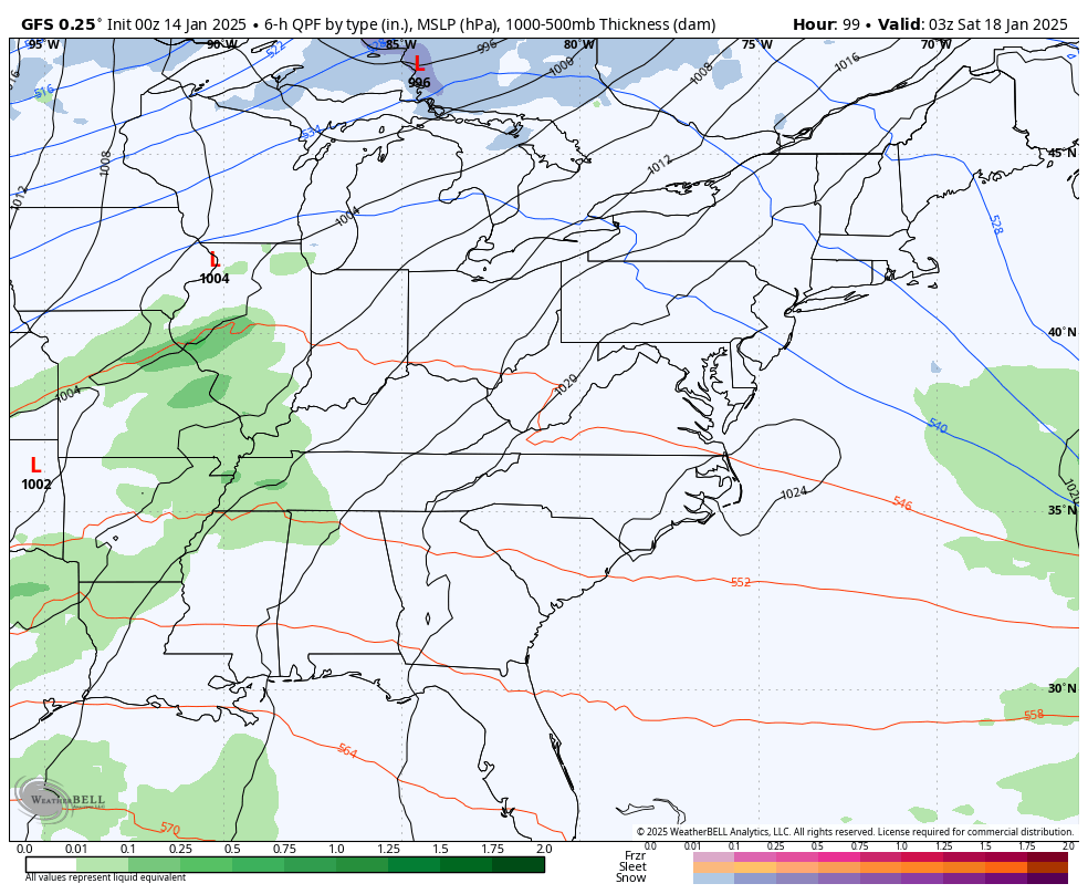
The GFS and EURO continue to show a lot of variances from run to run. The latest GFS is growing colder with the initial system, but is likely too far south and east with a system coming in behind it…
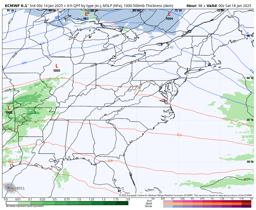
The EURO is also pressing farther south, but can’t figure out what to do with action coming in behind it all…
Remember, that same model had an ice storm in Florida a day or so ago.
Your normal updates come your way later today. Make it a good one and take care.

Let’s hope the Canadian is wrong.